Richmond - San Rafael Bridge
Located on Interstate 580 between Contra Costa and Marin counties, the Richmond-San Rafael Bridge has served the needs of North Bay travelers for more than 60 years.
Access to the bridge was significantly improved with the completion in 2001 of the Richmond Parkway. This 7.5-mile, four- to six-lane roadway provides bridge users with a direct connection to Interstate 80 near Pinole. Bay Area Transit Authority (BATA)-funded trestle and fender rehabilitation and deck replacement was completed in 2006.
What’s New
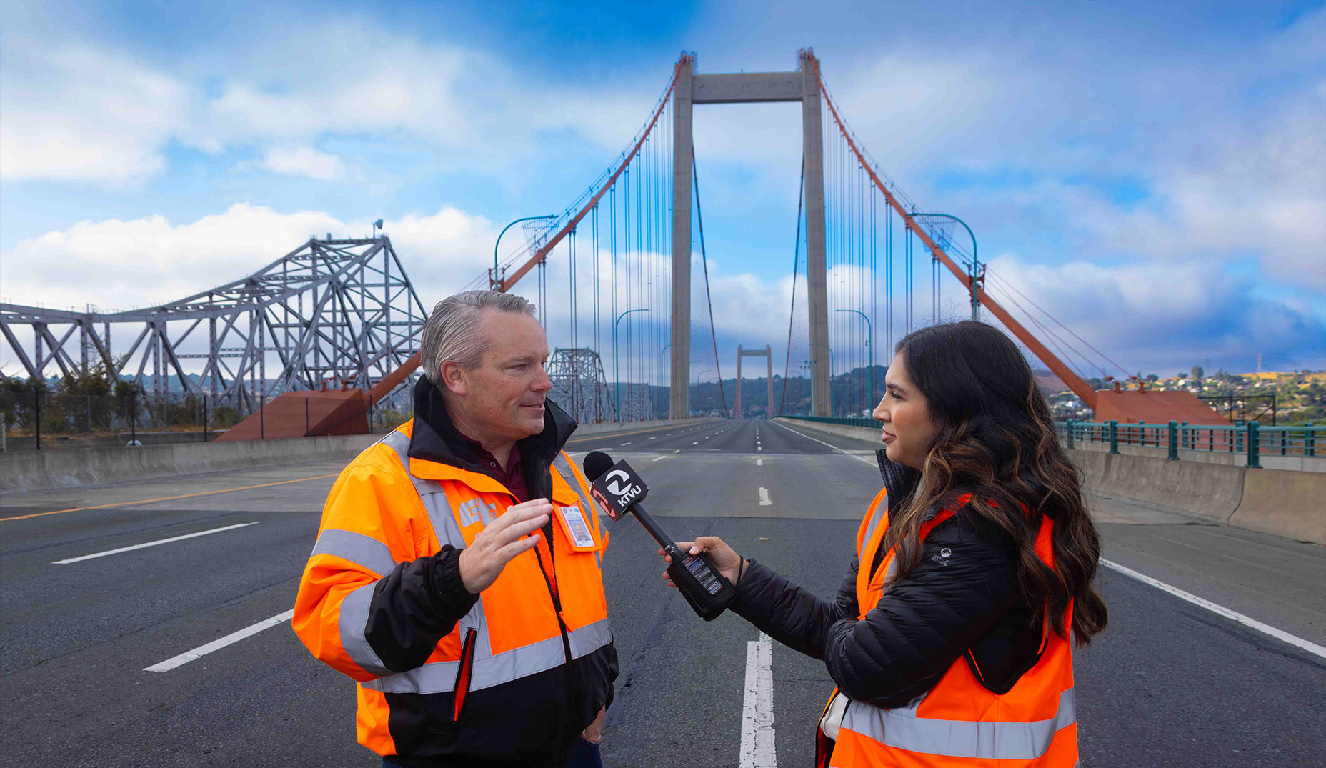
Caltrans is committed to maintaining and improving safety, reliability, and connectivity along the Richmond–San Rafael Bridge (RSRB). Several ongoing and upcoming projects are currently in progress to repair bridge infrastructure, improve communication systems, and prepare for future open road tolling operations.
Some current and planned work:
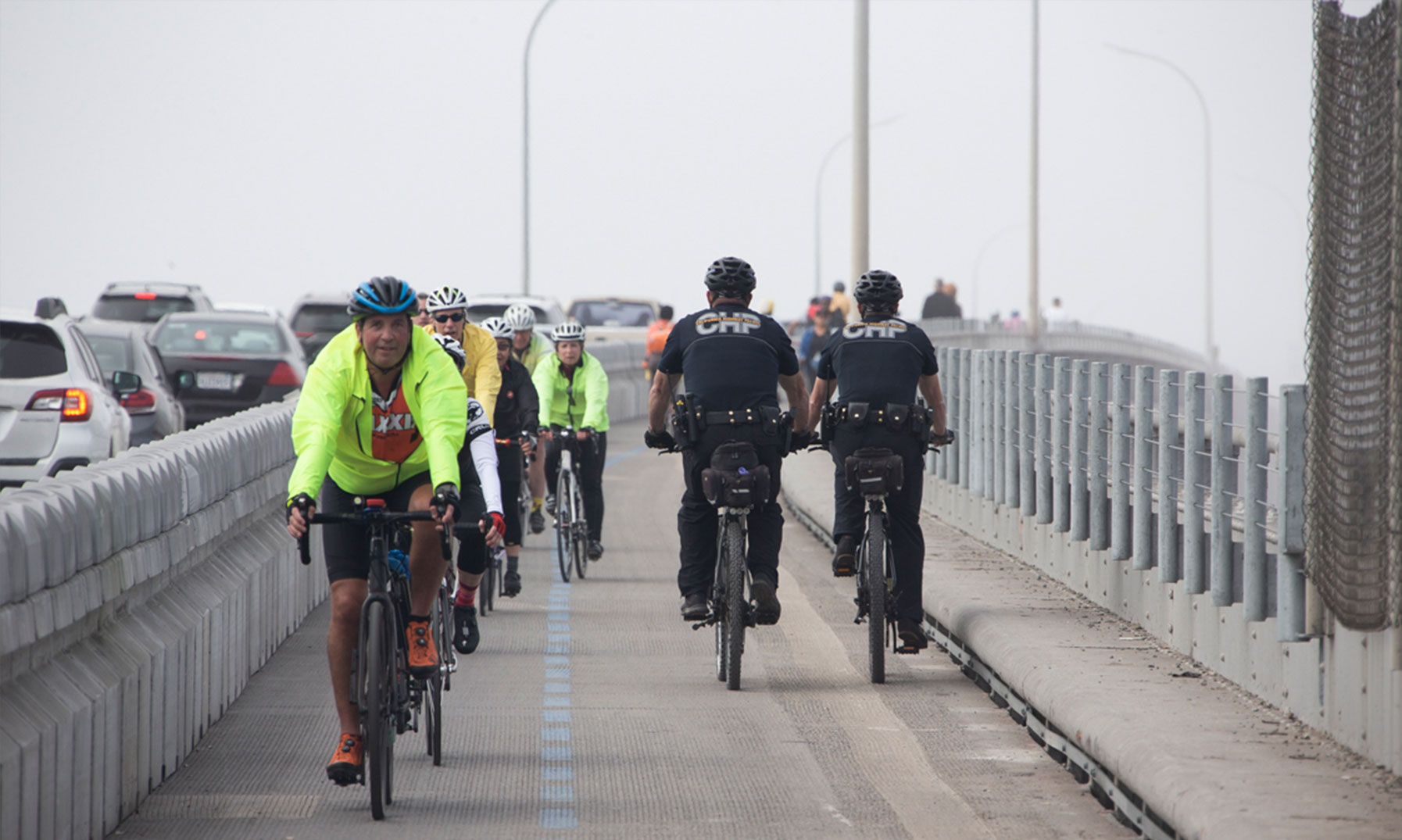
- Richmond-San Rafael Bridge Bike Path Operational Update
- Emergency Deck Repairs (Director’s Order)
- Communication Cables and Substations Upgrade
- Upcoming Project: Open Road Tolling (ORT)
Visit our Projects page to get more information on current and planned work.
History & Facts
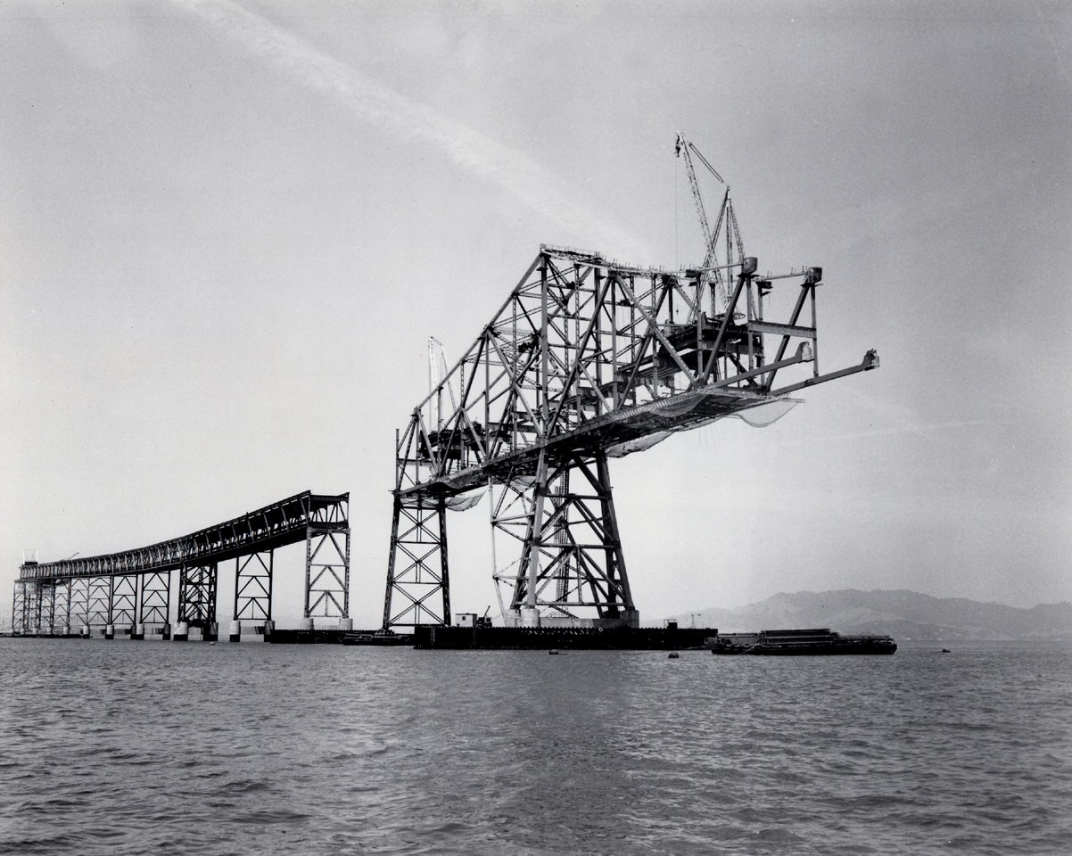
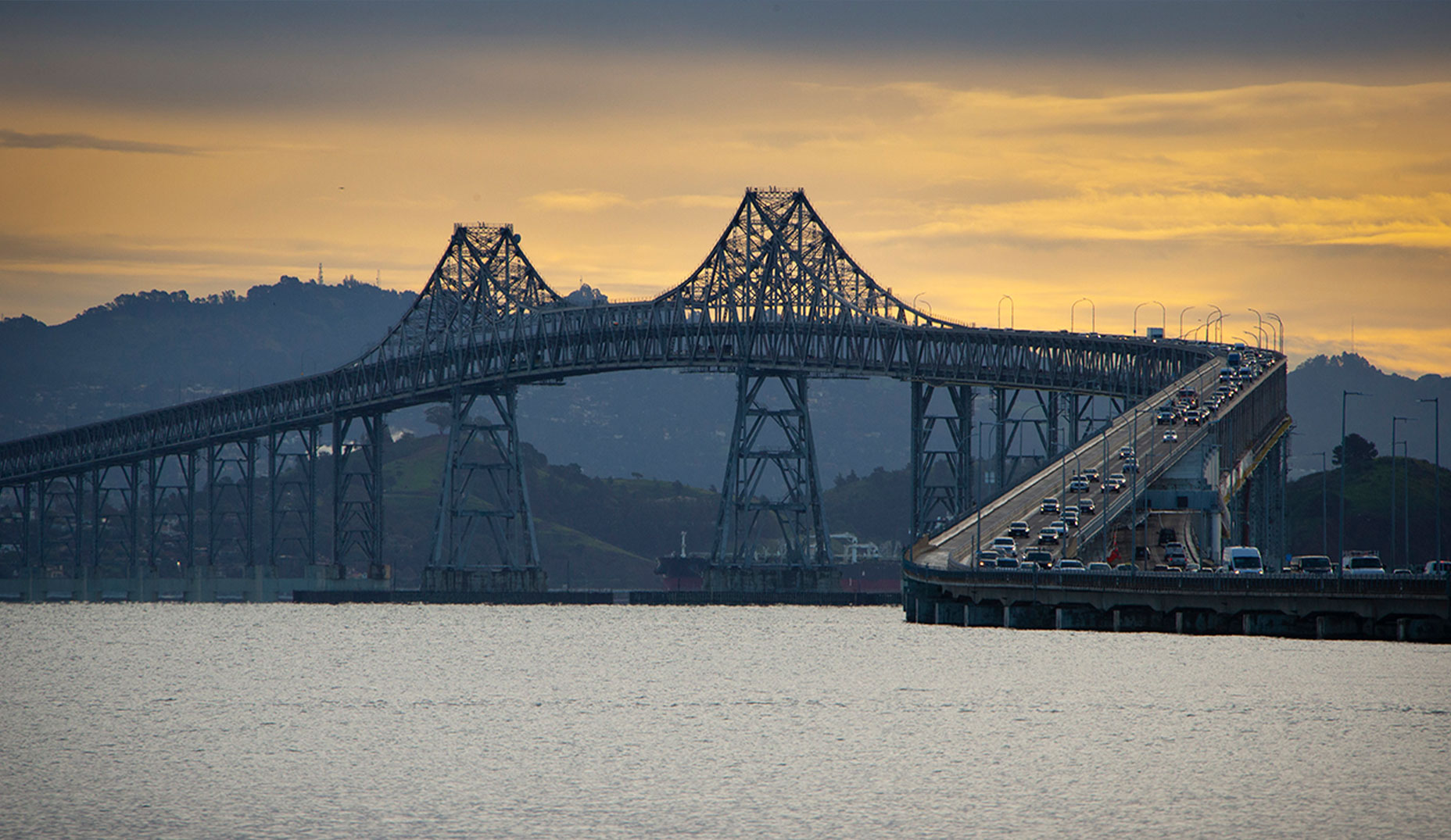
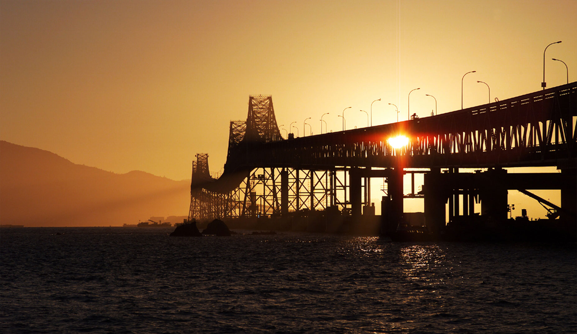
The Richmond–San Rafael Bridge, located on Interstate 580 (I-580) between Contra Costa County and Marin County in San Pablo Bay, has served the needs of North Bay and East Bay motorists since its opening on Sept. 1, 1956. The bridge was the result of two years of planning and design followed by four years of construction.
Spanning 5.5 miles across the northern end of San Francisco Bay, it was California’s longest steel structure at the time and featured a double-decker design that made it one of the most complex bridges in the state.
The bridge replaced ferry service between Richmond and San Rafael, providing a vital link between the two counties. Its construction was led by the Gerwick–Kiewit and Kiewit–Soda–Judson Pacific-Murphy joint ventures, with a total cost of $62 million.
The bridge spans two ship channels and has two separate main cantilever spans. Both main cantilever spans are raised to allow ship traffic to pass, and in between, there is a "dip" in the elevation of the center section, giving the bridge a vertical undulation or "roller coaster" appearance and also the nickname "roller coaster span."
To save money, the cantilever main spans share identical symmetric designs, so the "uphill" grade on the approach required for the elevated span is duplicated on the other "downhill" side, resulting in a depressed center truss section. In addition, because the navigation channels are not parallel to each other, the bridge also does not follow a straight line. This appearance has also been referred to as a "bent coat hanger."
In the early 1980s, the bridge was formally named the John F. McCarthy Memorial Bridge. McCarthy was a proponent of constructing an additional bridge crossing in the Bay Area.
In the decades following its opening, the bridge underwent significant upgrades, most notably a seismic retrofit prompted by the 1989 Loma Prieta Earthquake. Located between the San Andreas and Hayward Faults, the bridge was retrofitted to meet a “no-collapse” criterion, enabling it to withstand earthquakes up to magnitude 8.0. This retrofit involved installing micropiles in 47 piers, adding viscous dampers to absorb seismic energy, and modifying joints to allow controlled movement during tremors.
Access to the bridge was significantly improved with the 2001 completion in of the Richmond Parkway. This 7.5-mile, four- to six-lane roadway provides bridge users with a direct connection to Interstate 80 near Pinole.
A Bay Area Transit Authority (BATA)-funded trestle and fender rehabilitation and deck replacement was completed in 2006.
Over the years, the bridge has gone through multiple seismic retrofits and maintenance, deck joints replacement/reinforcement, structural steel strengthening, and removal of rust and new paint.
Currently, the bridge is being upgraded with removal of old electrical equipment and being replaced with new equipment. Crews have been replacing cables/fibers/wires.
Today, the bridge remains a critical transportation corridor, serving tens of thousands of commuters daily and evolving to accommodate new modes of travel - including bike and pedestrian paths.
Tolls are collected in the westbound direction (towards San Rafael). The toll is $8 for FasTrak, license plate accounts, one-time payments or invoices. A carpool discount of $4 is available for qualifying vehicles using the far-left HOV lane.
| Location: | Interstate 580 between Contra Costa and Marin counties |
| Structure: | Cantilever and truss |
| Length: | 5.5 miles (including approaches) |
| Vertical Clearance: | 185 feet |
| Channel Span: | 1,070 feet |
| Tower Height: | 325 feet |
| Opened: | September 1956 |
| Cost: | $66 million |
| Auto Toll: | $8 |
| Carpools: | $4 |
| Collection: | One way, westbound in Richmond |
| Traffic Lanes: | Two lanes in each direction |
| FY 2022-23 Total Toll-Paid Vehicles: | 12,874,043 |
| FY 2022-23 Total Tolls Collected: | $90,813,631 |
| Bridge Path Counter Data: | Access bicycle and pedestrian counter data(link is external) |
Connect With Caltrans District 4 On Social Media
![]()
![]()
![]()
![]()
#CaltransLovestheBay