
Caltrans District 4 Bike Plan Update
About

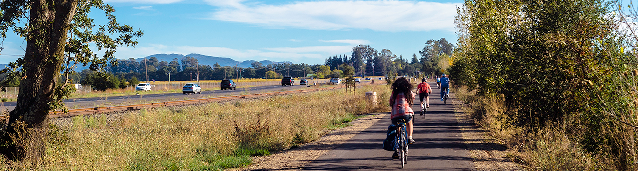
Caltrans Bay Area (District 4) has updated the 2018 Bike Plan! The new Bike Plan identified barriers to cycling, prioritized improvements and is a resource for Caltrans staff to implement bike infrastructure on and across Caltrans facilities in the 9-county Bay Area.
What is a Bike Plan?
The Caltrans Bay Area Bike Plan identifies infrastructure improvements that enhance bicycle safety, mobility and equity throughout the Bay Area. The Bike Plan was developed in cooperation with local and regional partners to ensure that the improvements on the State Highway System complement proposals for local networks.
Vision and Goals
By 2040, people in California of all ages, abilities, and incomes can safely, conveniently, and comfortably bike for their everyday transportation needs

Bike Plan Update Report
Caltrans District 4 has released the Caltrans Bay Area Bike Plan Update, a blueprint for improving bicycle infrastructure on and across the State Transportation Network in the nine-county Bay Area. Building on the original 2018 Bike Plan, this update reaffirms Caltrans’ commitment to safety, equity, climate action, and prosperity. The Plan aims to transform State highways into accessible and integrated community assets.
Download Caltrans Bay Area Bike Plan Update 2025 PDF
Appendices
Appendix A Bicycle Best Practices
The Bicycle Best Practices were developed to obtain consensus and feedback from the public, stakeholders, and partner agencies on preferred designs, fill in gaps in existing design guidance, be a resource to staff when making comments on projects, and showcase examples of all ages and abilities facilities built on Caltrans right of way.
Download Caltrans Bay Area District 4 Bike Plan Update 2025 - Bicycle Best Practices PDF
Appendix B Location Based Needs List
Location-based needs are specific locations along or across the state highway where infrastructure investments would most benefit people biking and best achieve the goals of Towards an Active California. The appendix and the map here details these identified needs for people biking, as well as the tiered ranking of these needs.
Download Appendix B Location Based Needs List PDF
Appendix C Prioritization Methodology
The prioritization methodology lays out the steps and framework of the prioritization of biking location-based needs on and across the State Highway System in the Bay Area.
Download Appendix C Prioritization Methodology PDF
Web Maps
Bike Plan Update Story Map – The Story Map is an overview of the needs and improvements identified in the Bike Plan, as well as the analysis and methodology used to prioritize these needs.
Bike and Pedestrian Data Explore Map – The explore map is an interactive tool to view the needs analysis and priority improvements identified in the Bike and Pedestrian Plan.
State Highway System Bike Map - The Caltrans District 4 State Highway System Bike Map covers the State highway system, showing which State highways are open to bicyclists, where they are prohibited, and an alternate route available where bicycling is prohibited.
Resources
Documents
California State Bicycle & Pedestrian Plan
District 4 Bicycle Plan (2018)
District 4 Bike Plan Appendices
Bike Highway Study Final Report
Other Resources