Info on the Bike Highway Study
Caltrans Bay Area Bike Highway Study
Caltrans Bay Area (District 4) manages nearly 1,400 miles of State Highway corridors throughout the Bay Area. The goal of this Study is to understand where Bike Highways may be installed alongside State Highway corridors.
The Study builds off of the recommendations included in the 2018 Caltrans District 4 Bike Plan and the 2017 California State Bicycle and Pedestrian Plan, Toward an Active California.
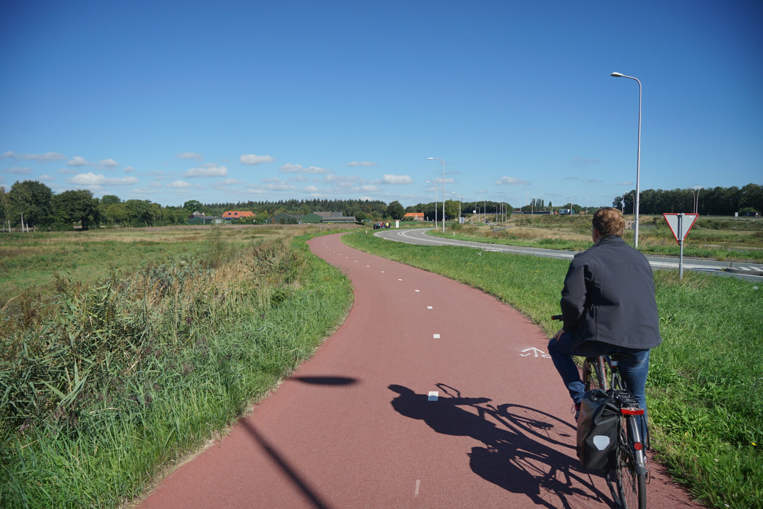
What is a Bike Highway?
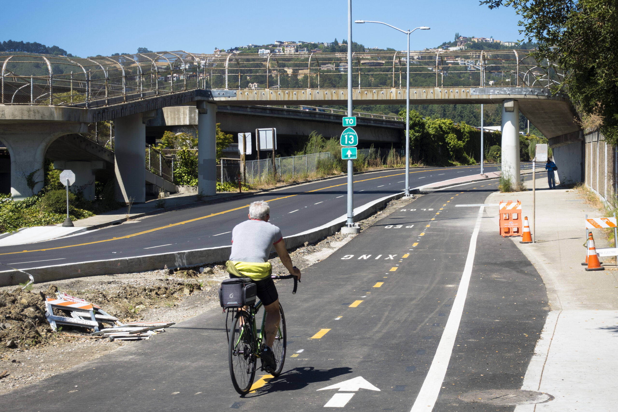
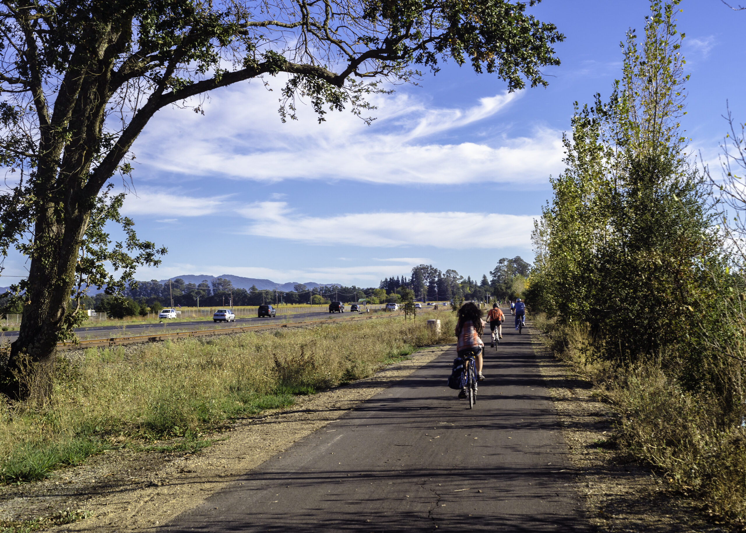
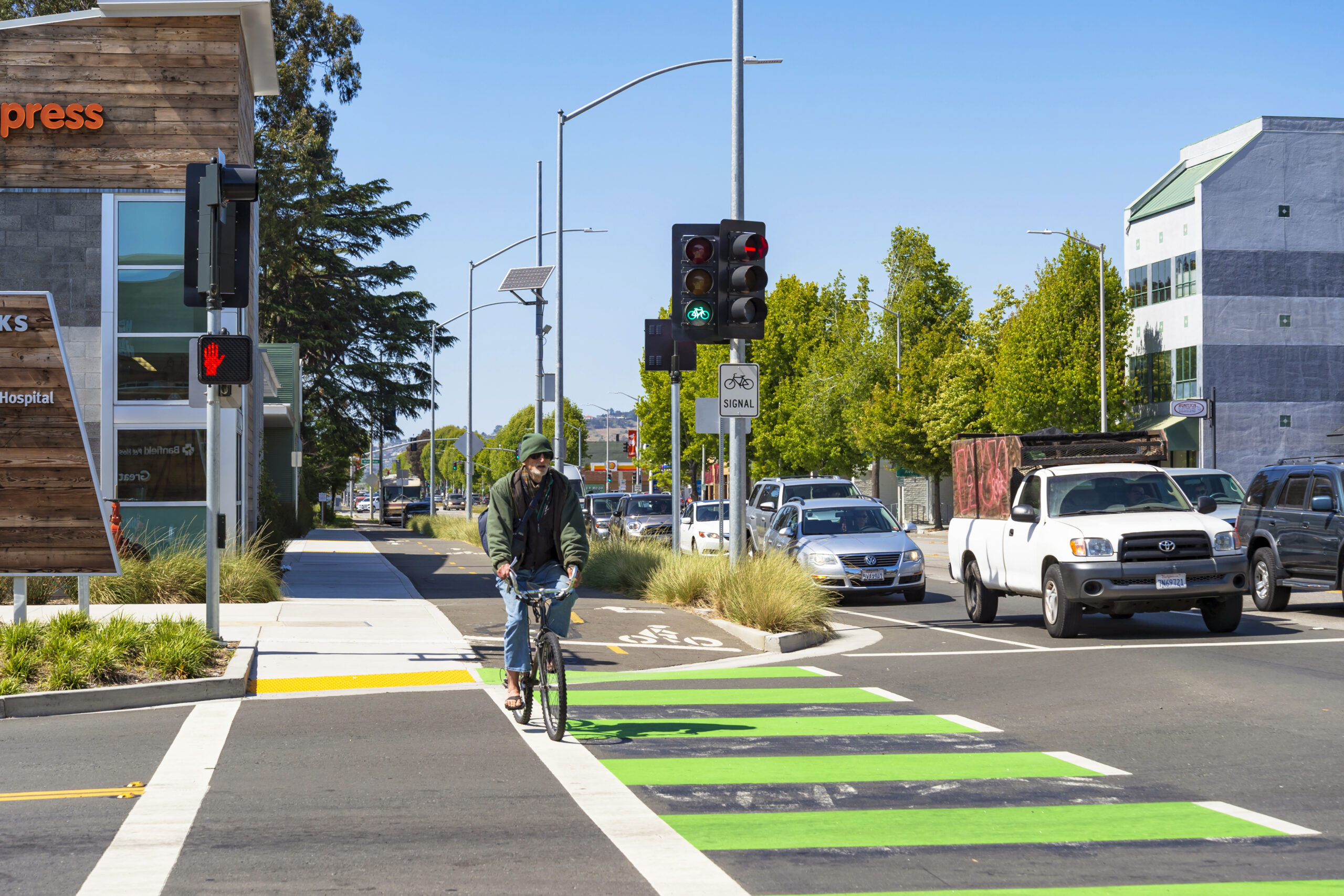
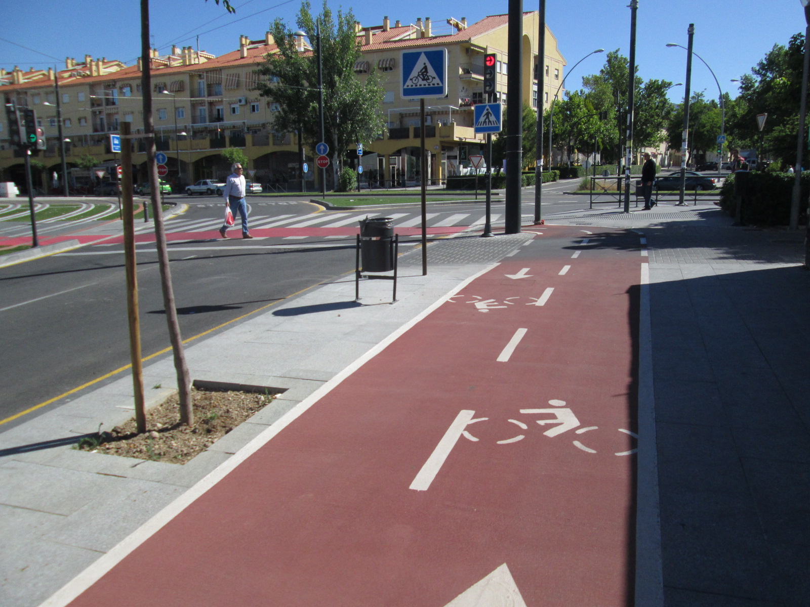
A bike highway is a high-quality, continuous, long-distance bikeway that reduces barriers to destinations that people want to travel to and from, especially places which may normally be difficult to bike to. Bike highways may consist of a mix of on-street facilities and fully-separated trails and should be designed so as to accommodate people of all ages and abilities riding bikes, as well as people walking and rolling where appropriate and feasible. For this Study, Caltrans is evaluating bike highways parallel to State Highway corridors.
Caltrans acknowledges that communities of color and disadvantaged communities experience fewer benefits and a greater share of negative impacts associated with our state’s transportation system. Furthermore, Caltrans acknowledges that the term “highway” may be tied to the impacts that these communities have experienced. For the purposes of this Study, the working term “bike highway” is subject to change and sensitive to the input of affected communities. Among the objectives of the Study is to propose outcomes that are equitable and reparative of the negative impacts associated with State Highways. Caltrans District 4 is committed to prioritizing equity in this Study and in future initiatives.
Click here to read the full Caltrans Equity Statement.