Palisades Fire Recovery: As-Builts
The Palisades Fire started on January 7, 2025 and burned over 23,000 acres in the cities of Malibu, Los Angeles, and unincorporated communities in Los Angeles County. The fire caused widespread damage along State Route 1 (Pacific Coast Highway/PCH) and State Route 27 (Topanga Canyon Boulevard/SR-27), destroying 6,800 structures, damaging an additional 1,000 structures, downing utility power poles and powerlines, and prompted a full closure of the highways for months.
As the recovery process is underway, a web map application is now currently available online for the public to view Caltrans' As-Built records for the Palisades Fire vicinity. It has functions to query as-builts by route and postmile for SR-1 and SR-27 in Los Angeles County. As-Builts are a record of plans showing utilities and other pertinent documents regarding facilities constructed within Caltrans Right-of-Way. These may help property owners along these state routes as they rebuild, and the service streamlines the process for requesting these documents. There is no payment for these online records.
See the map: Palisades Fire As-Builts
Palisades Fire: Guide to parcels affected by damage to existing drainage systems on PCH
1. Navigate to Caltrans D7 Right of Way Map Index (Public) website
2. Input your address in the search bar
a. 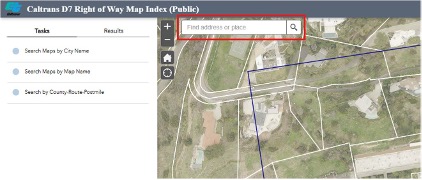
3. Select the address from those that appear below the search bar, the location of the parcel will appear on the map
a. 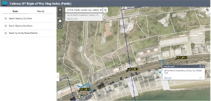
4. If there is a blue bar at the location, the parcel has likely been affected by damage to existing drainage systems
a. 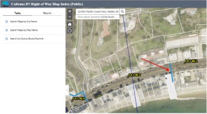
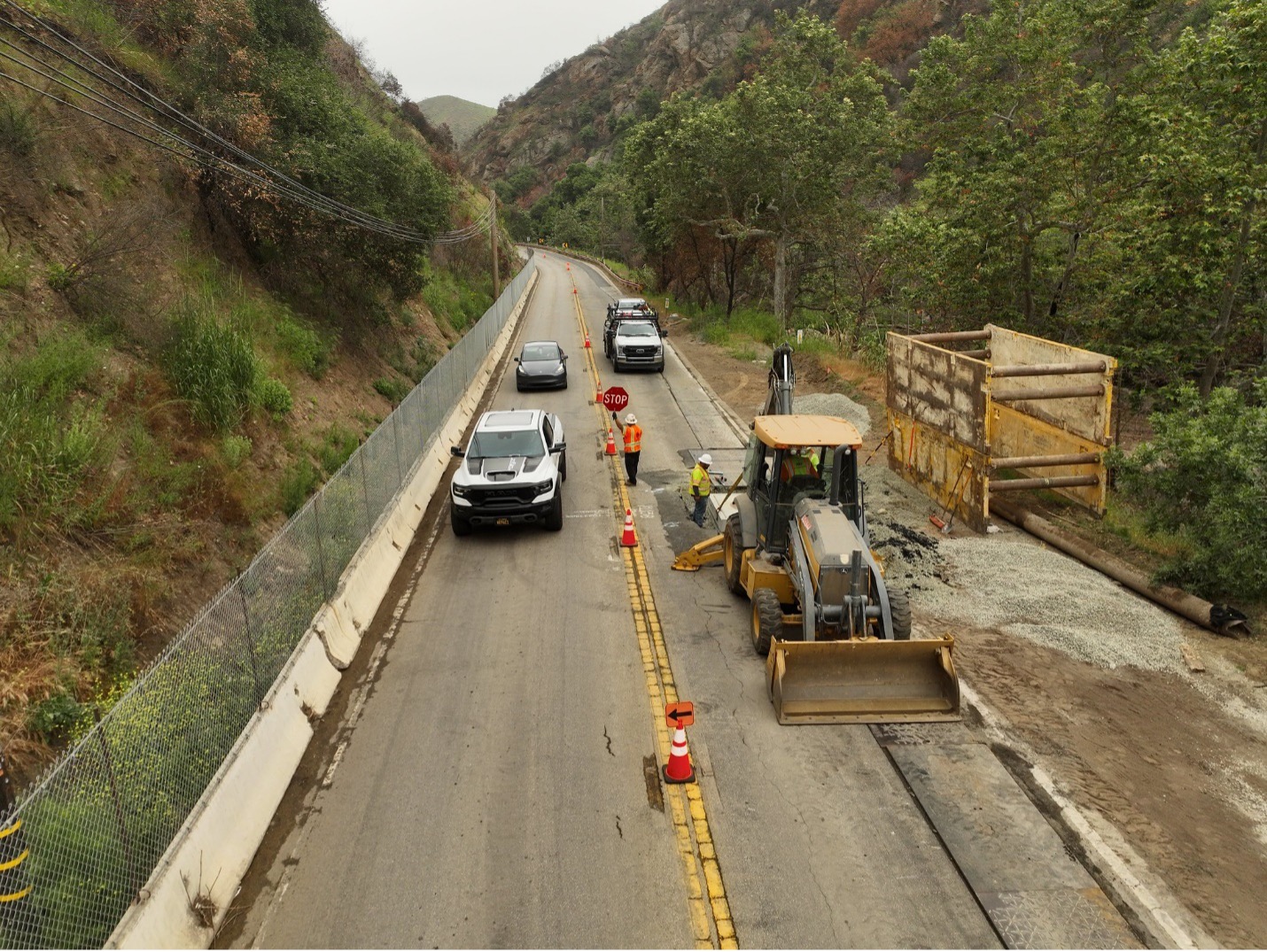
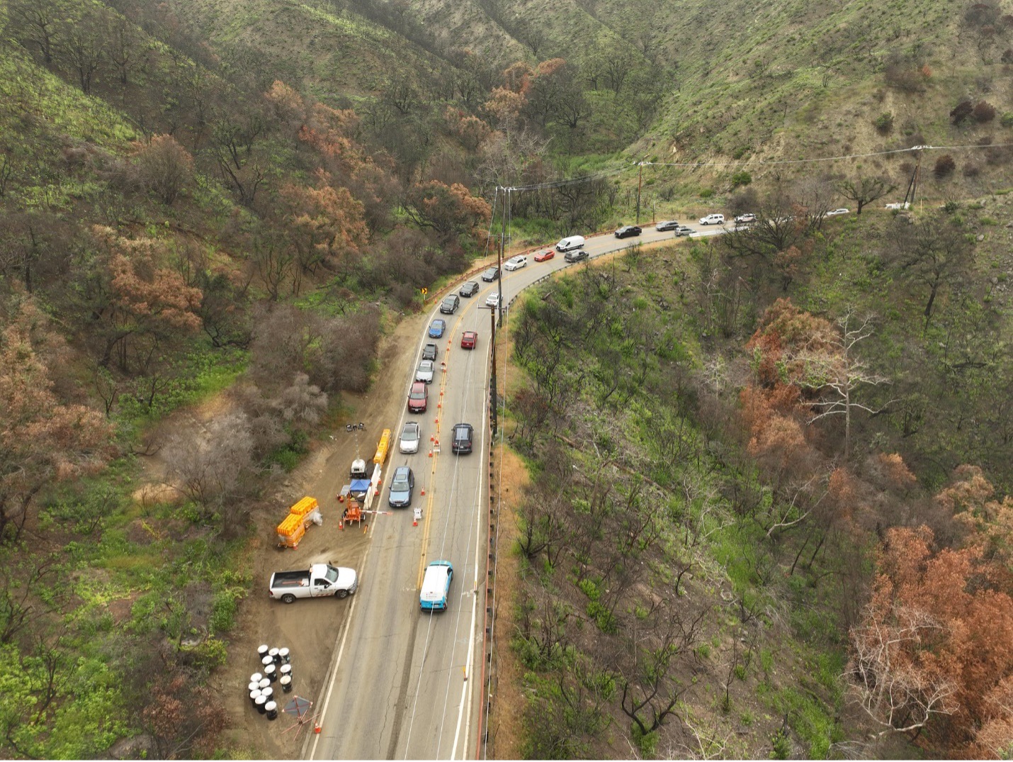
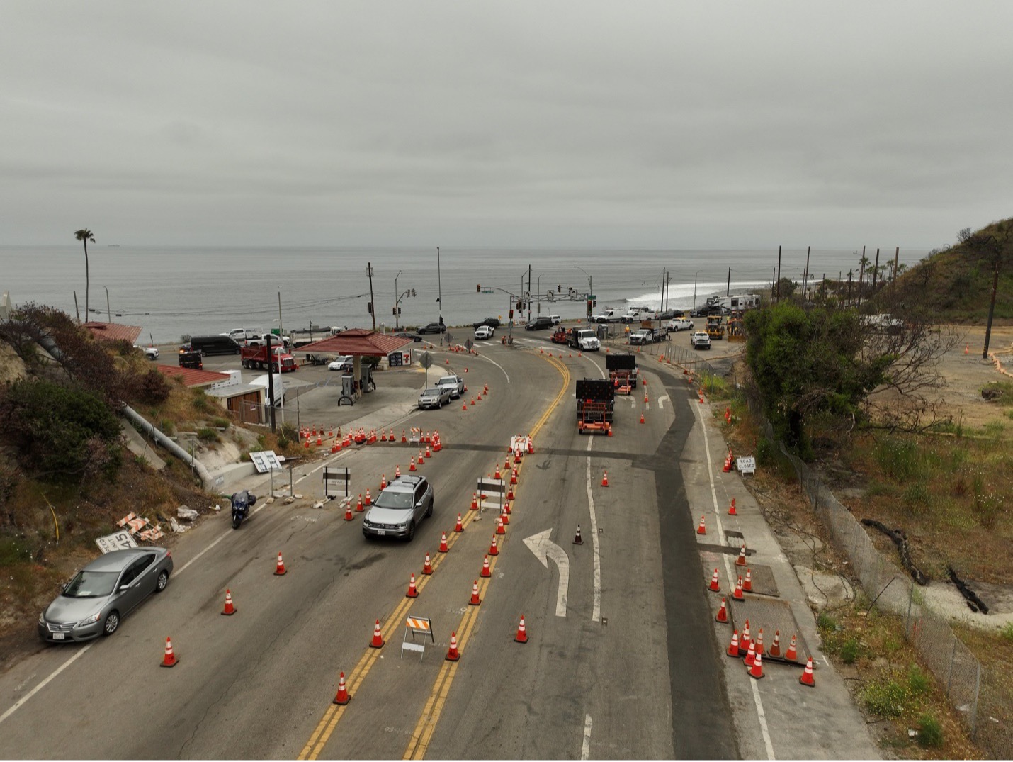
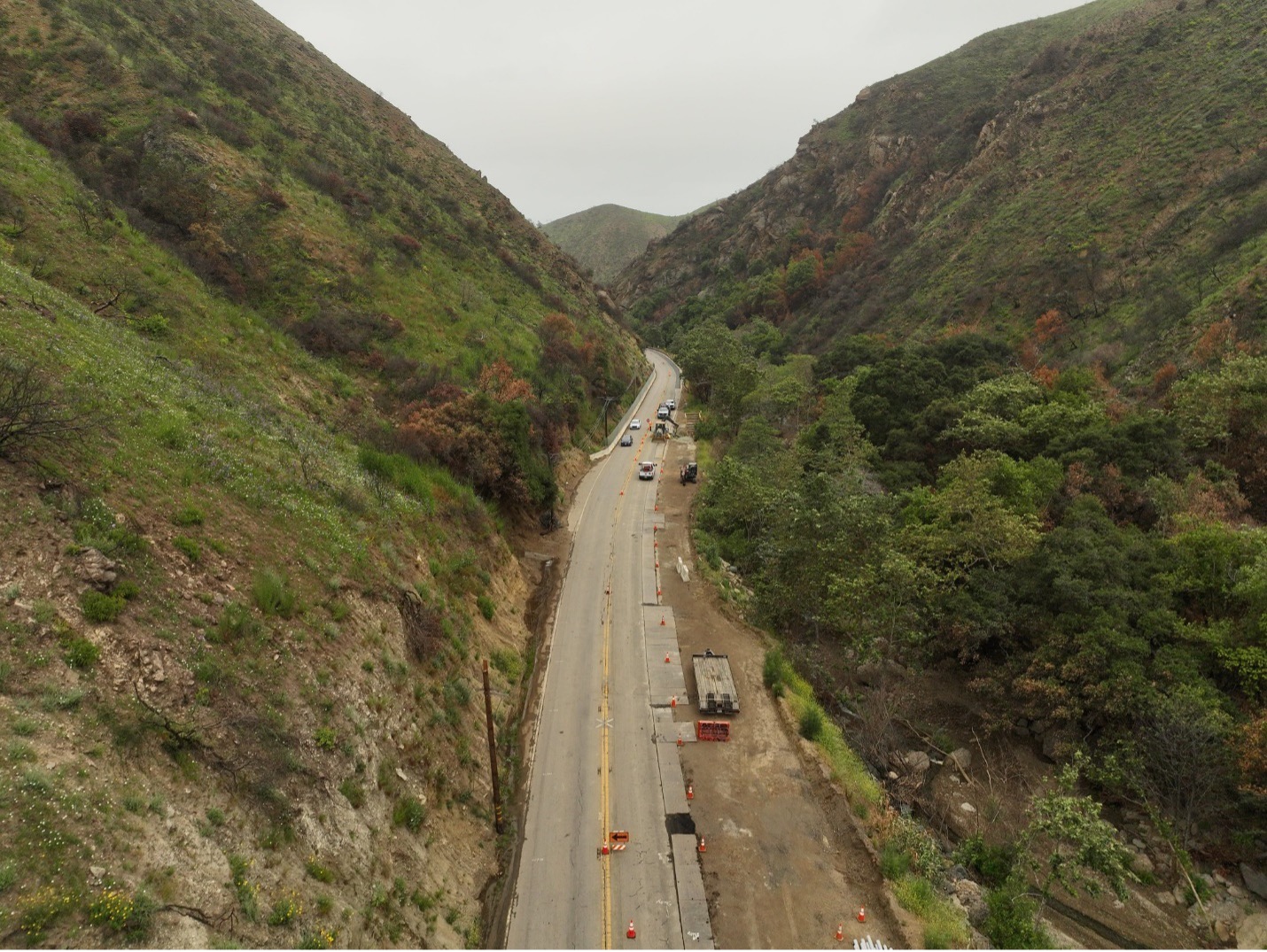
Photos of Palisades Fire Burn Area
Pacific Coast Highway/State Route 1


Topanga Canyon Boulevard/State Route 27