
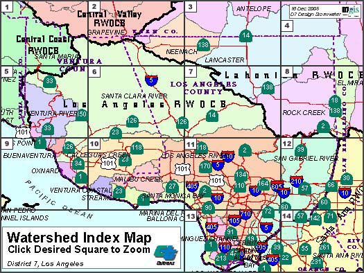
Watershed Index Map
The Watershed Index Map is subdivided into 14 segments separated by the grid lines. To access area information, click within the desired segment. Or Select from the list below. See also Total Maximum Daily Load and Template links below.
| Section 8 | |
| Section 2 | Section 9 |
| Section 3 | Section 10 |
| Section 4 | Section 11 |
| Section 5 | Section 12 |
| Section 6 | Section 13 |
| Section 7 | Section 14 |
SWDR Template
(PDF)
(PDF)
Watershed Postmiles
Updating
Updating