
Pescadero State Route 1 Realignment Project
 Project Description
The California Department of Transportation (Caltrans) District-4 proposes to realign approximately 0.6-mile section of State Route (SR) 1 about 30 to 40 feet inland to the east of the existing roadway from 0.5-mile south to 0.3-mile north of Pescadero Creek Road (Post Mile 13.1 to Post Mile 13.9), near Pescadero beach in San Mateo County. This proposed realignment would address a deteriorating roadway and help ensure continued operation and functionality. Over time, sea level rise and recurring winter storms have degraded the coastal bluff, resulting in deep pavement cracking and severe shoulder rutting. Realigning the highway is necessary to improve public safety, prevent further damage, and maintain reliable access along this critical transportation corridor.
An interactive 360-degree tour of the proposed project can be viewed here. Click on the yellow “Road Perspective” button to toggle to see the street view.
Purpose and Need
Purpose: The purpose of the project is to maintain the safety, structural integrity, and operation of the highway.
Need: State Route (SR) 1 at this location runs adjacent to the coast along the Pacific Ocean. Due to its proximity to the ocean, over the years, sea level rise, wind, tidal action, and storms have eroded the bluff to the point that it is now causing severe rutting in the shoulder and deep cracking in the pavement jeopardizing the structural integrity and viability of the highway. There is considerable erosion and it is expected to continue, posing a substantial likelihood of landslides within the next 20 years. This realignment project is a solution that to maintain existing transportation connections by ensuring the operational viability of SR 1.
Initial Study /Environmental Assessment
Final Initial Study with Proposed Mitigated Negative Declaration/Environmental Assessment (PDF)
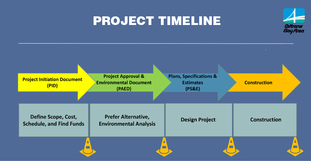
Schedule
The project is currently in the Environmental Phase of project development. This phase will be followed by the Design phase followed by construction in fiscal year (FY) 27/28. Listed below are target dates for completing the various phases of project development.
Environmental Documents (PAED) Complete: Spring 2026 (Target)
Design (PS&E) Complete: Spring 2028 (Target)
Begin Construction: Fall 2028 (Target)
End Construction: Fall 2029 (Target)
Tentative construction dates may change due to weather.
Current Advisories
There are no advisories at this time. Please check back for future advisories.
Project Contact
Pedro Quintana
Branch Chief, Office of Public Affairs - Caltrans District 4
Cell: (510) 867-6028
Email: Pedro.Quintana@dot.ca.gov
Page updated January 2026