SR 37 Projects Visual Library

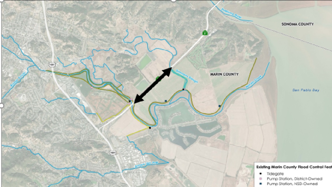
Maps
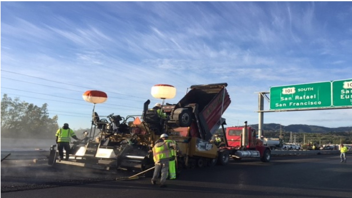
State Route 37 Active Projects

GIS Interactive Map Links
- Segment A Virtual Tour
- SR-37 Corridor Interactive Web Map
- BCDC Adapting to Rising Tides Bay Shoreline Flood Explorer
- https://explorer.adaptingtorisingtides.org/explorer
- USGS Coastal Storm Modeling System (CoSMoS)
- https://www.usgs.gov/centers/pcmsc/science/coastal-storm-modeling-system-cosmos?qt-science_center_objects=0#qt-science_center_objects
- USGS Hazard Exposure Reporting and Analytics
- https://www.usgs.gov/apps/hera/