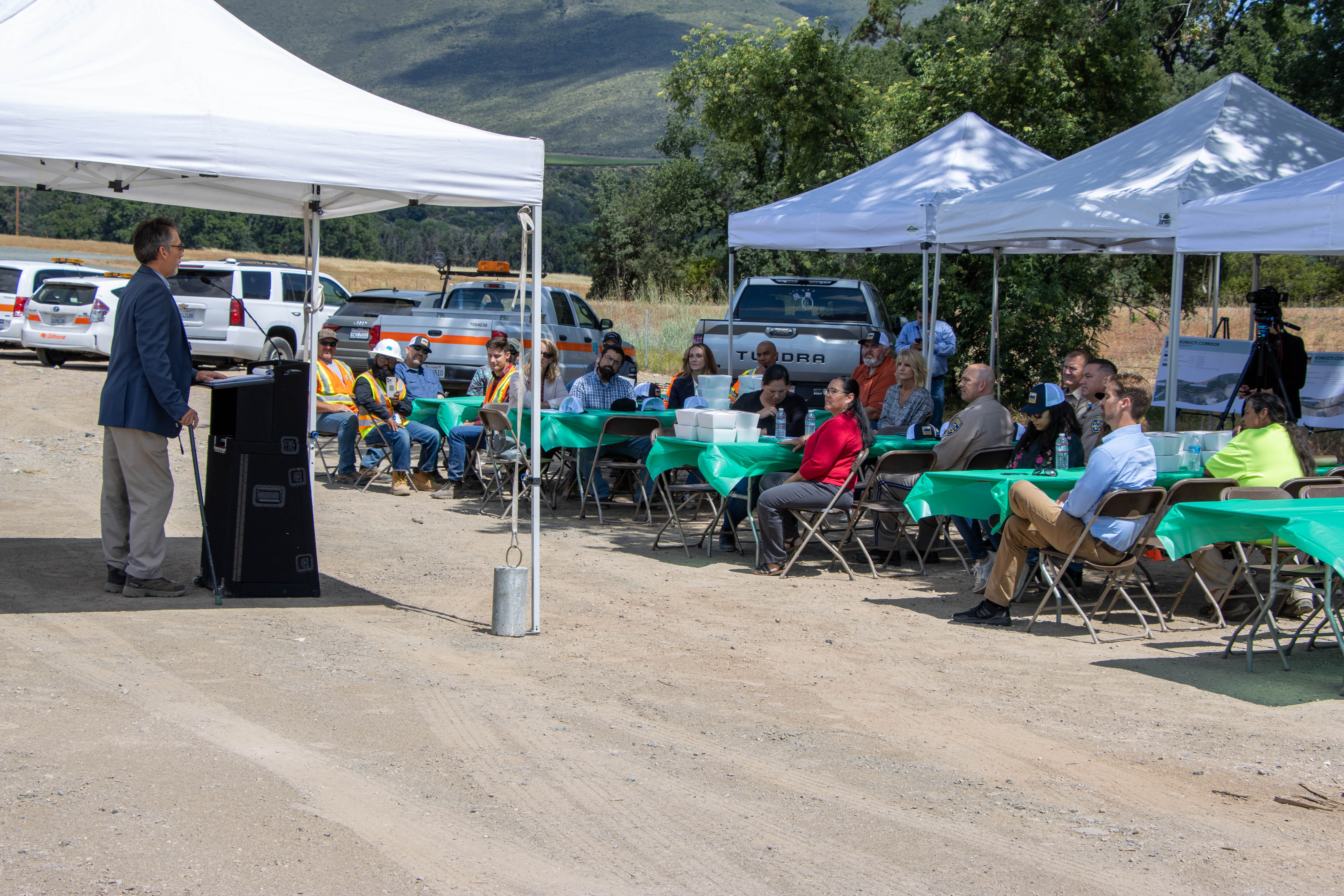
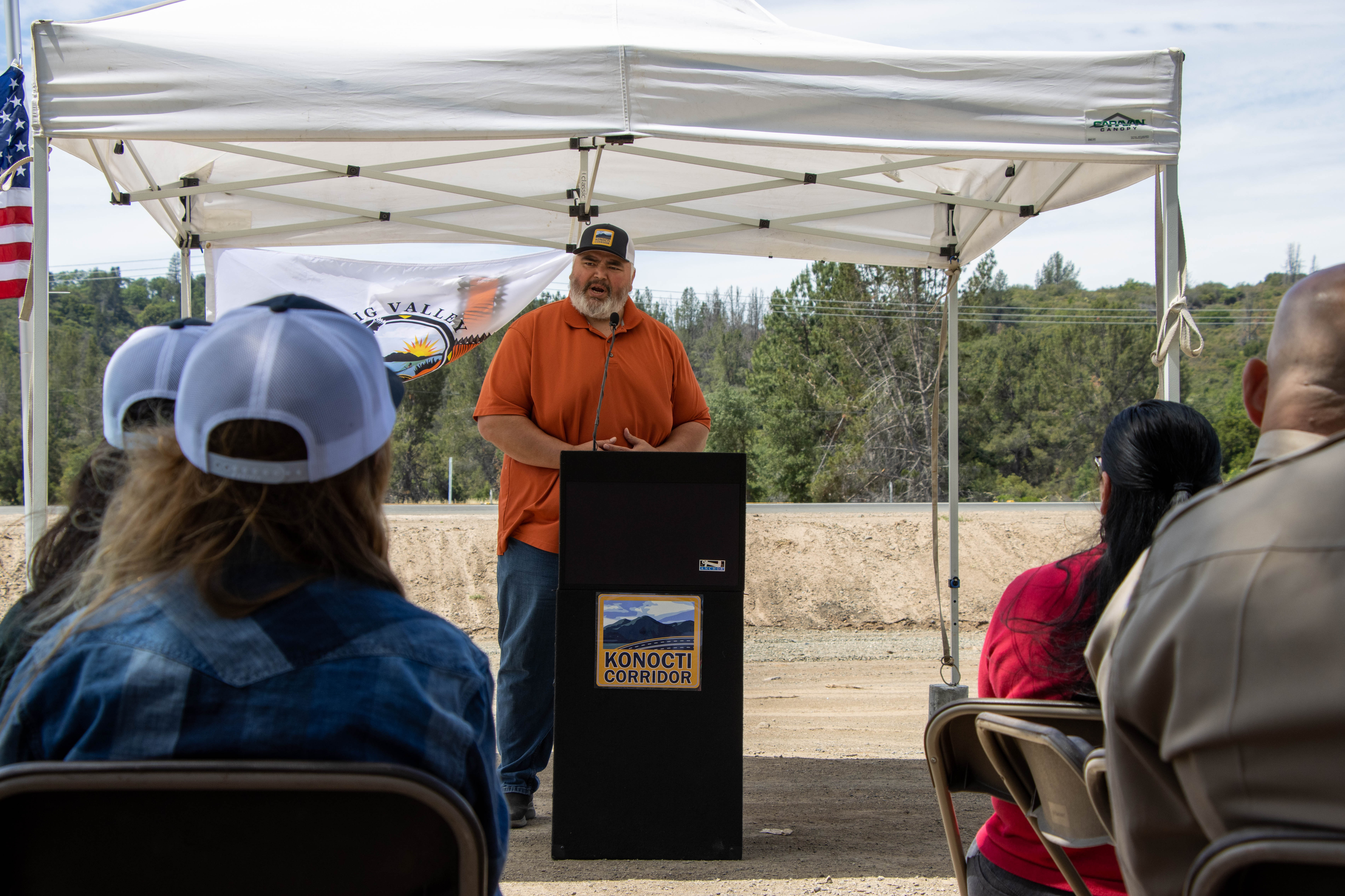
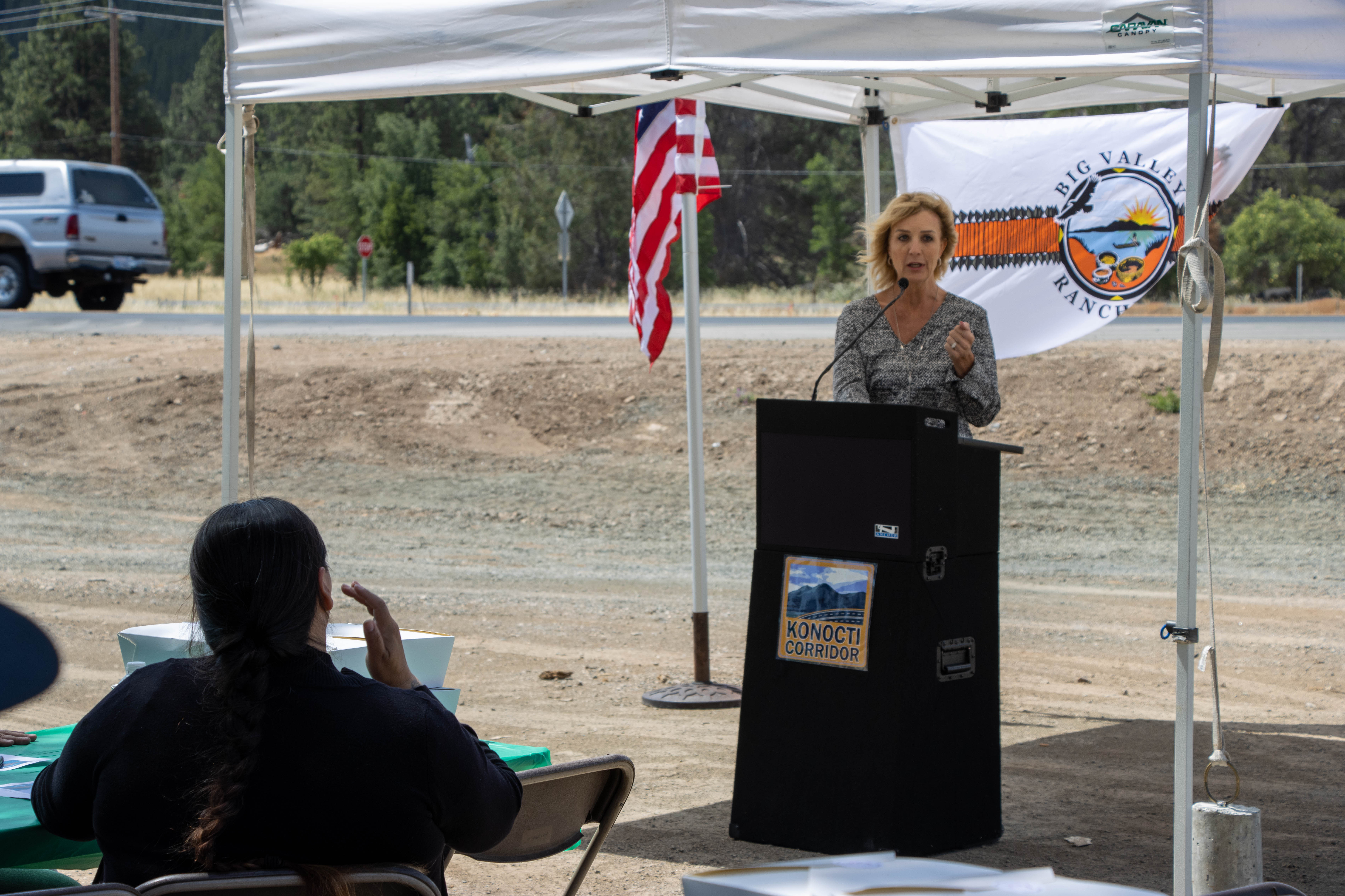
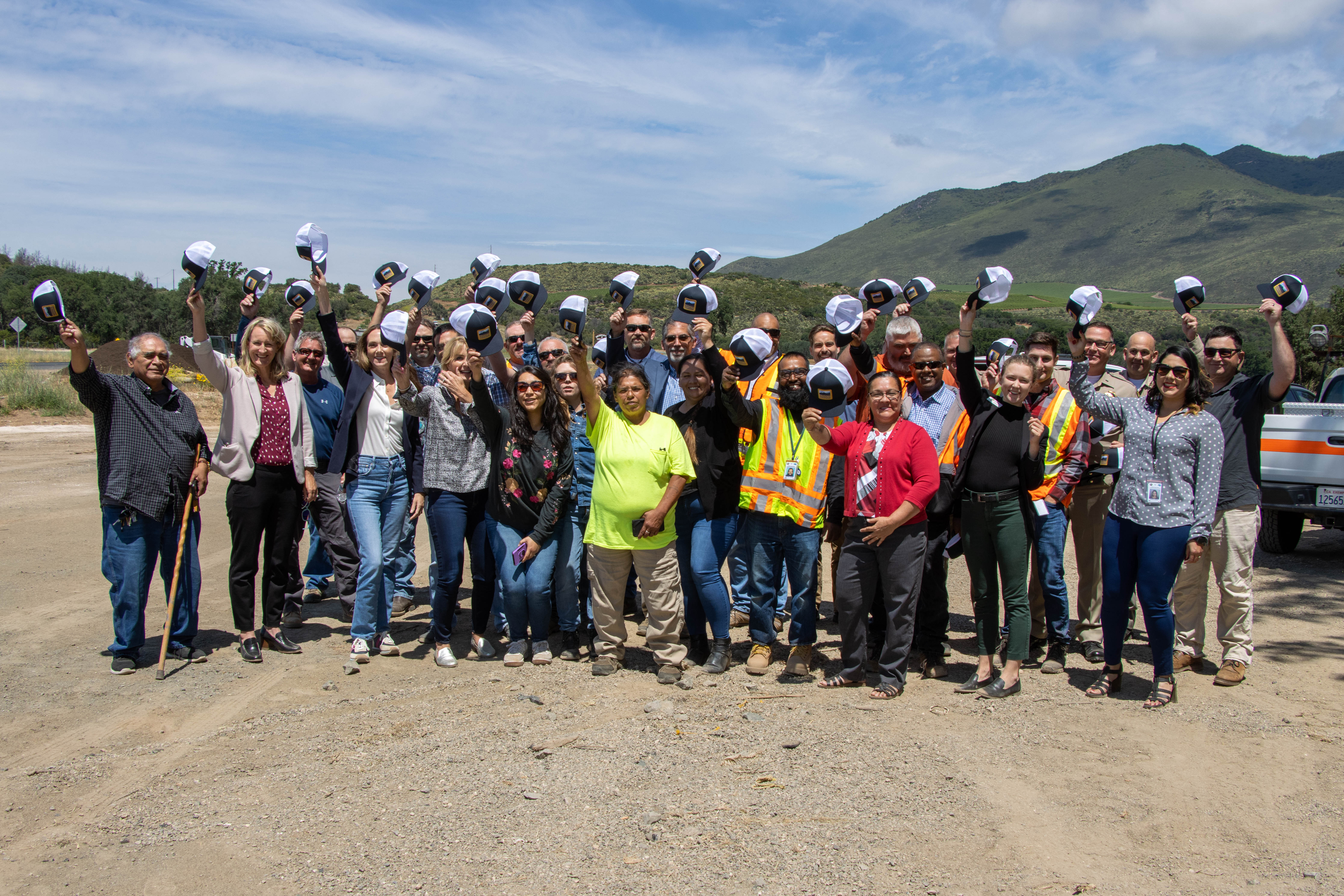
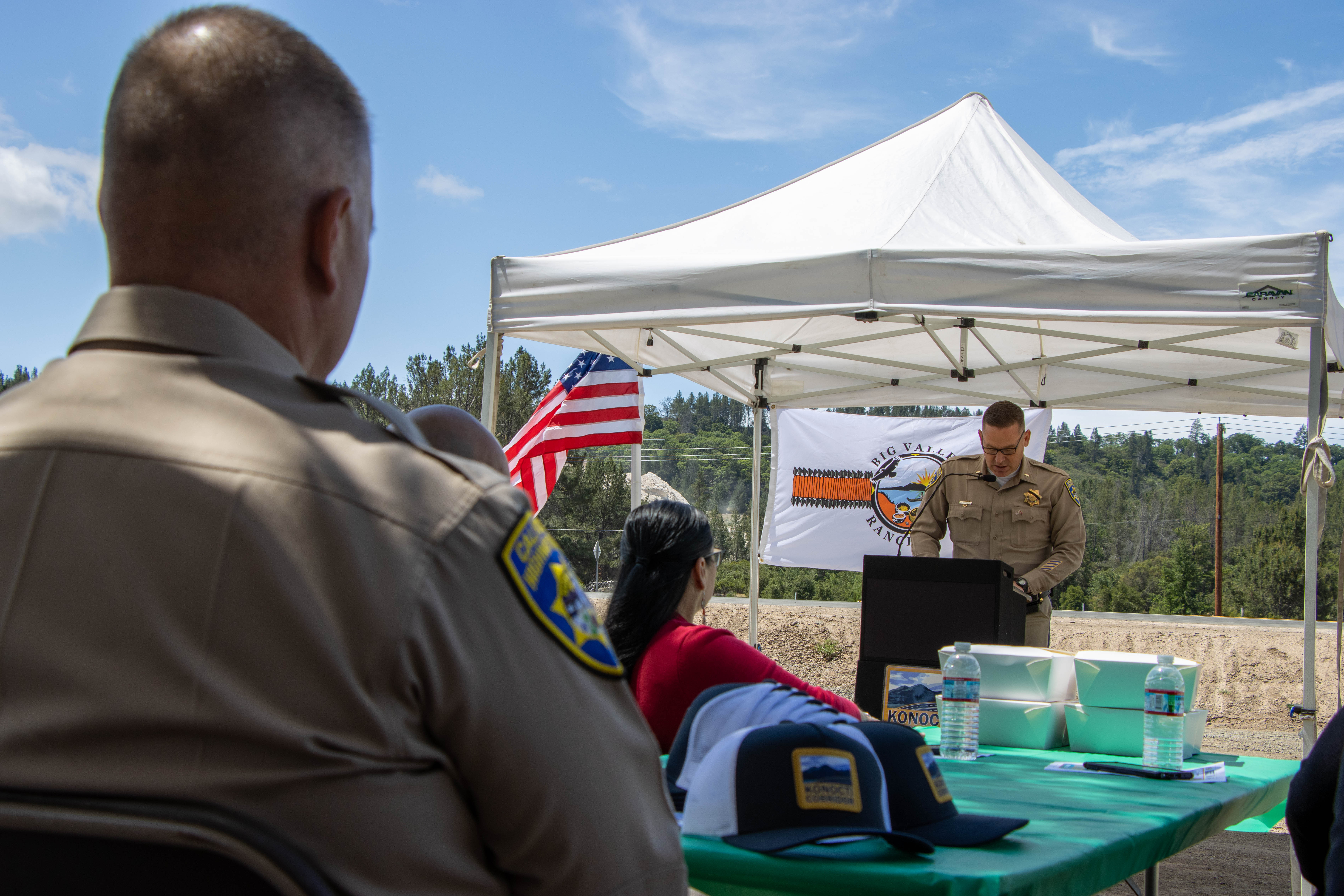
Konocti Corridor (Formerly Lake 29 Improvement)
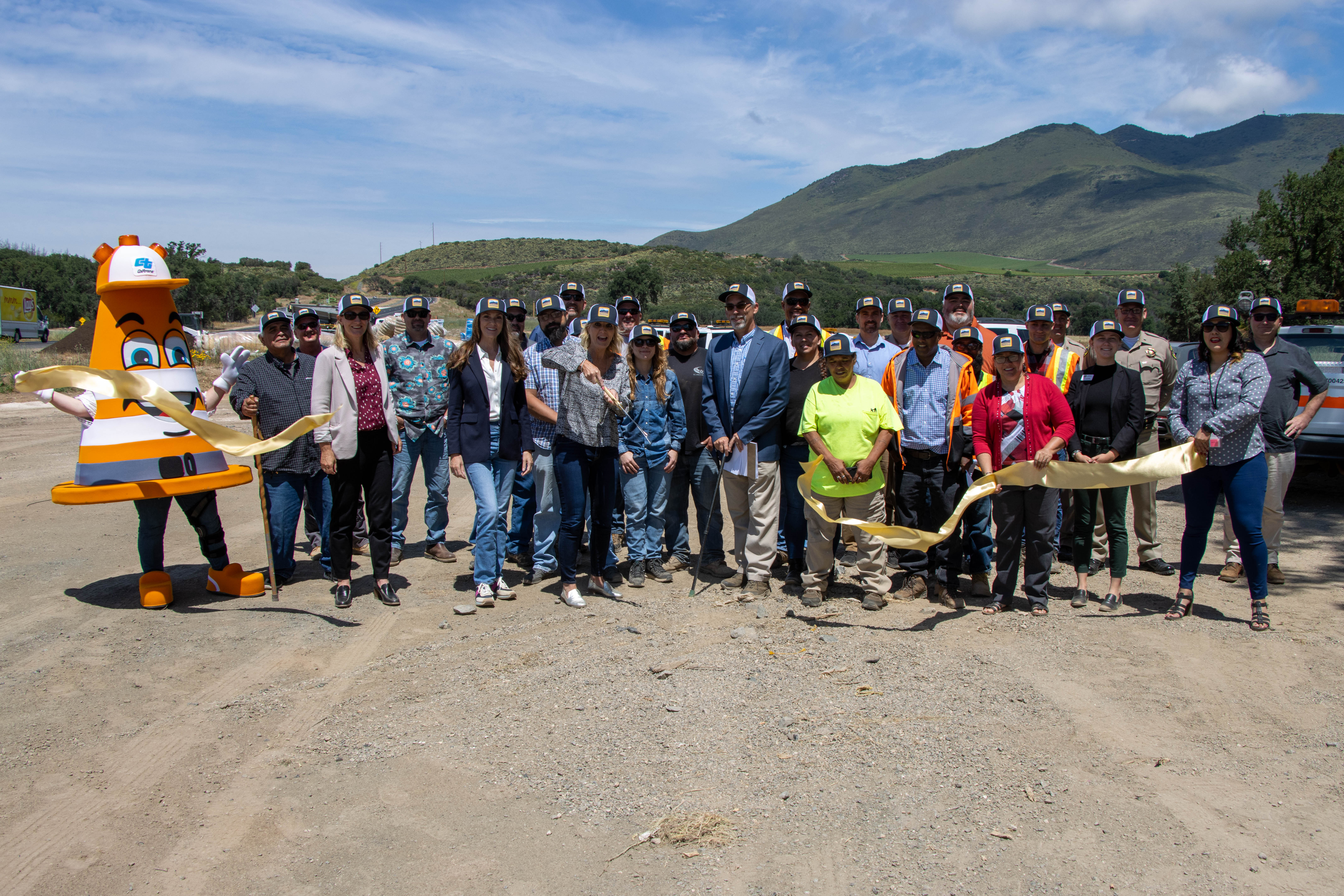
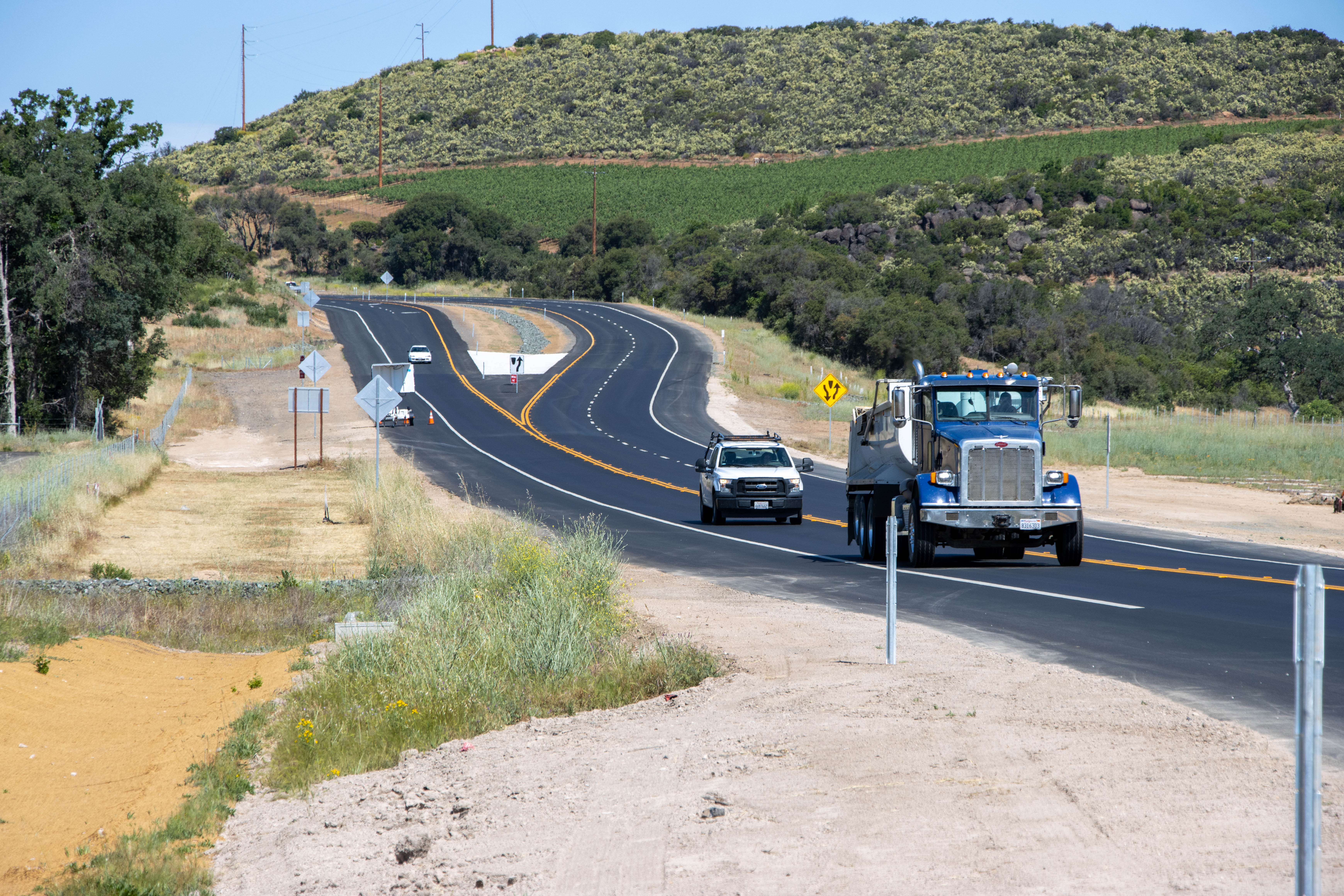
The first three-mile section known (segment 2C) is complete as of June 2023.
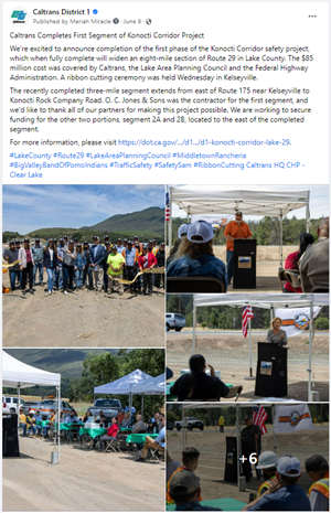
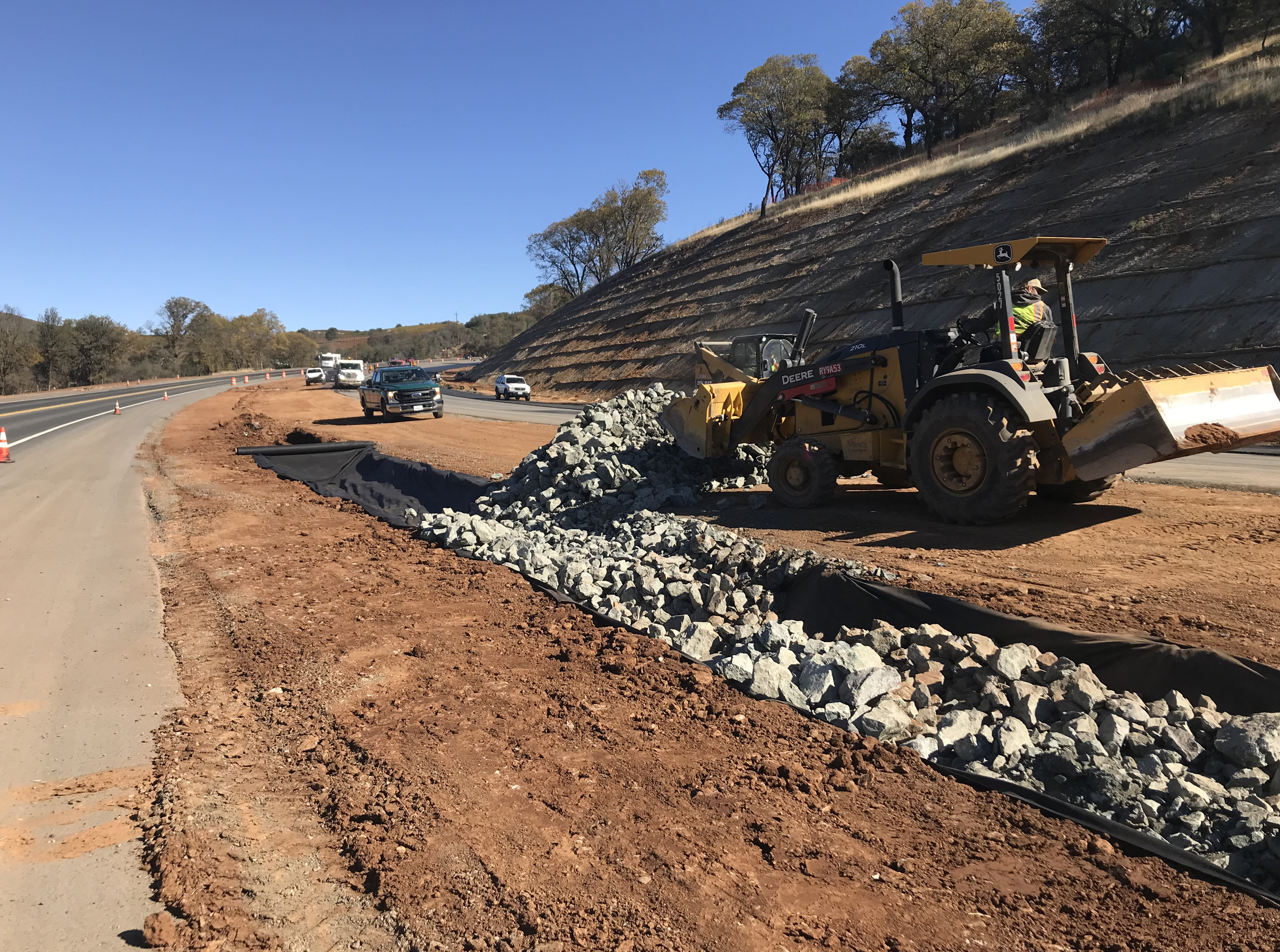
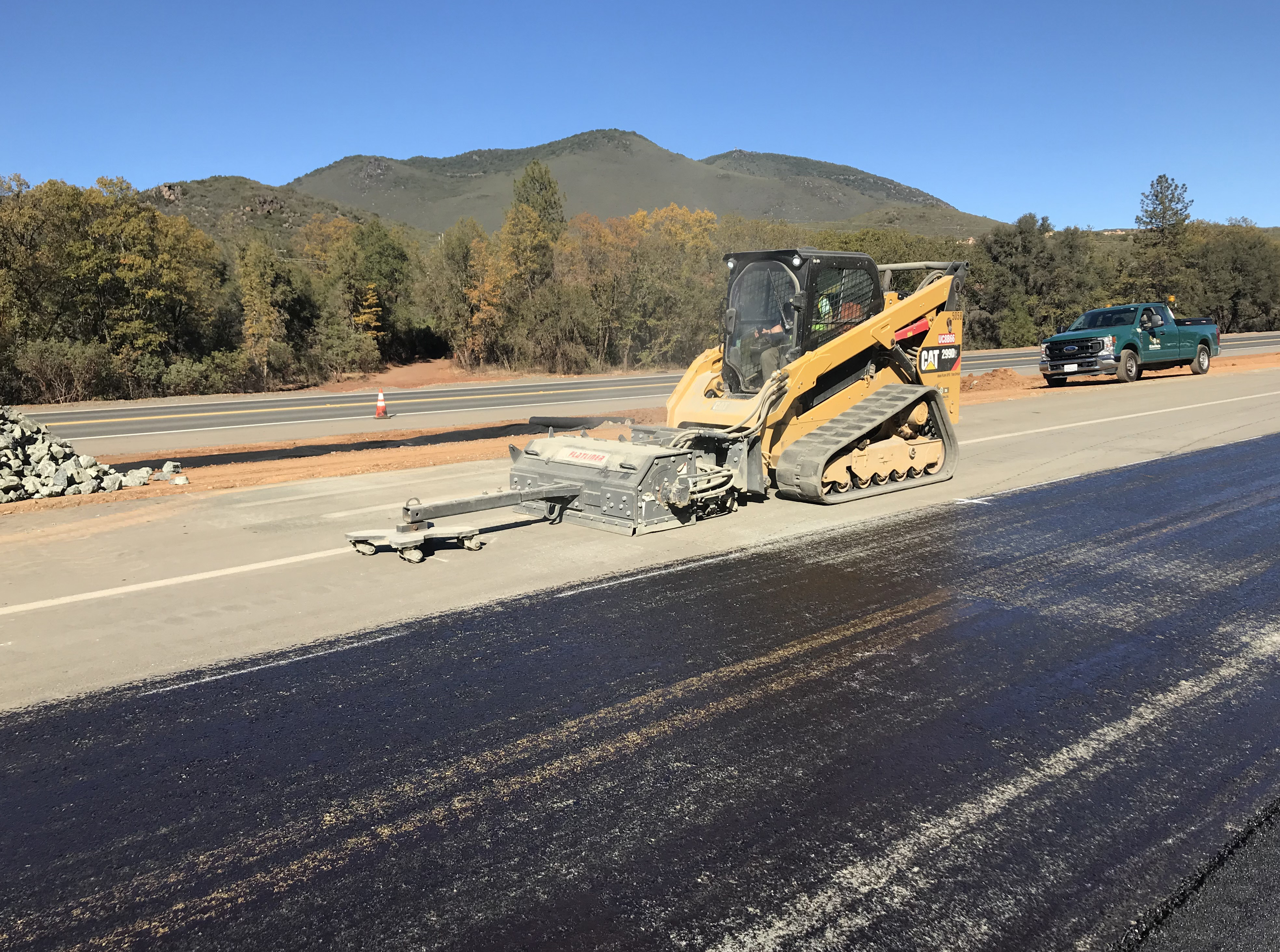
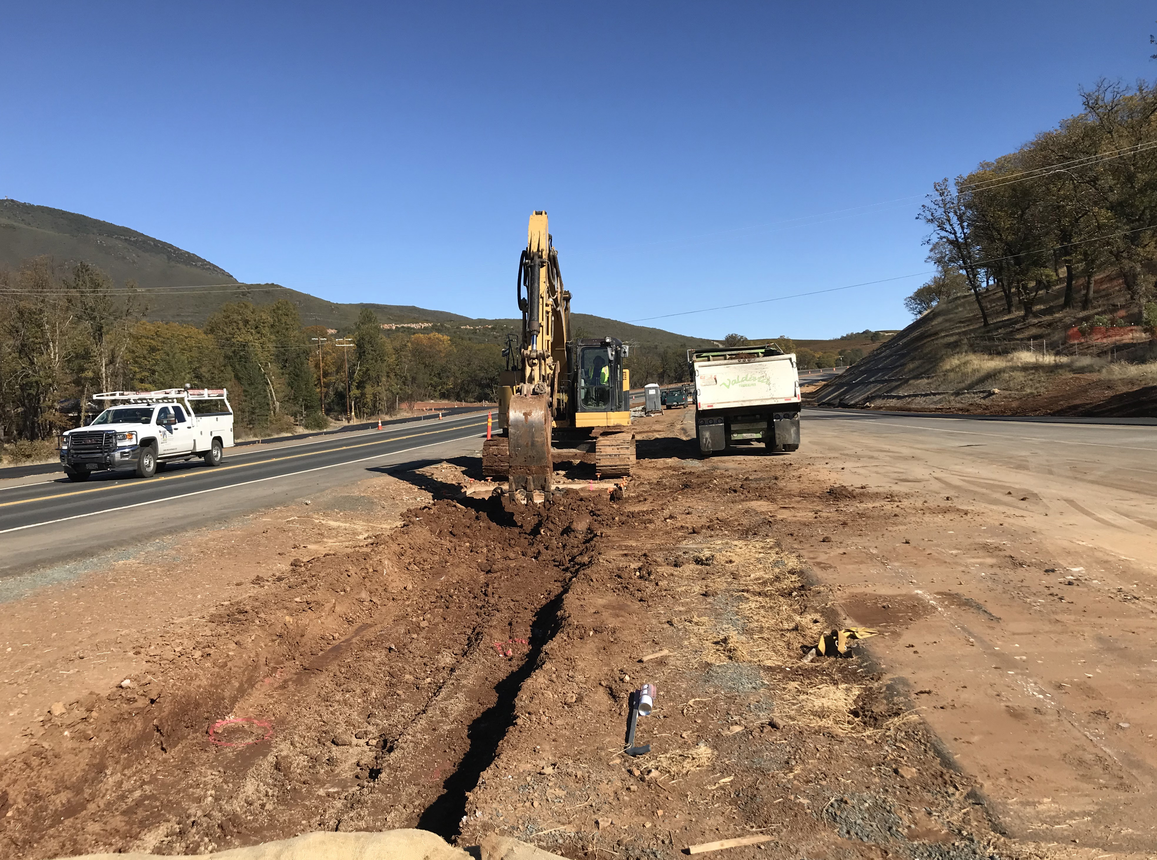
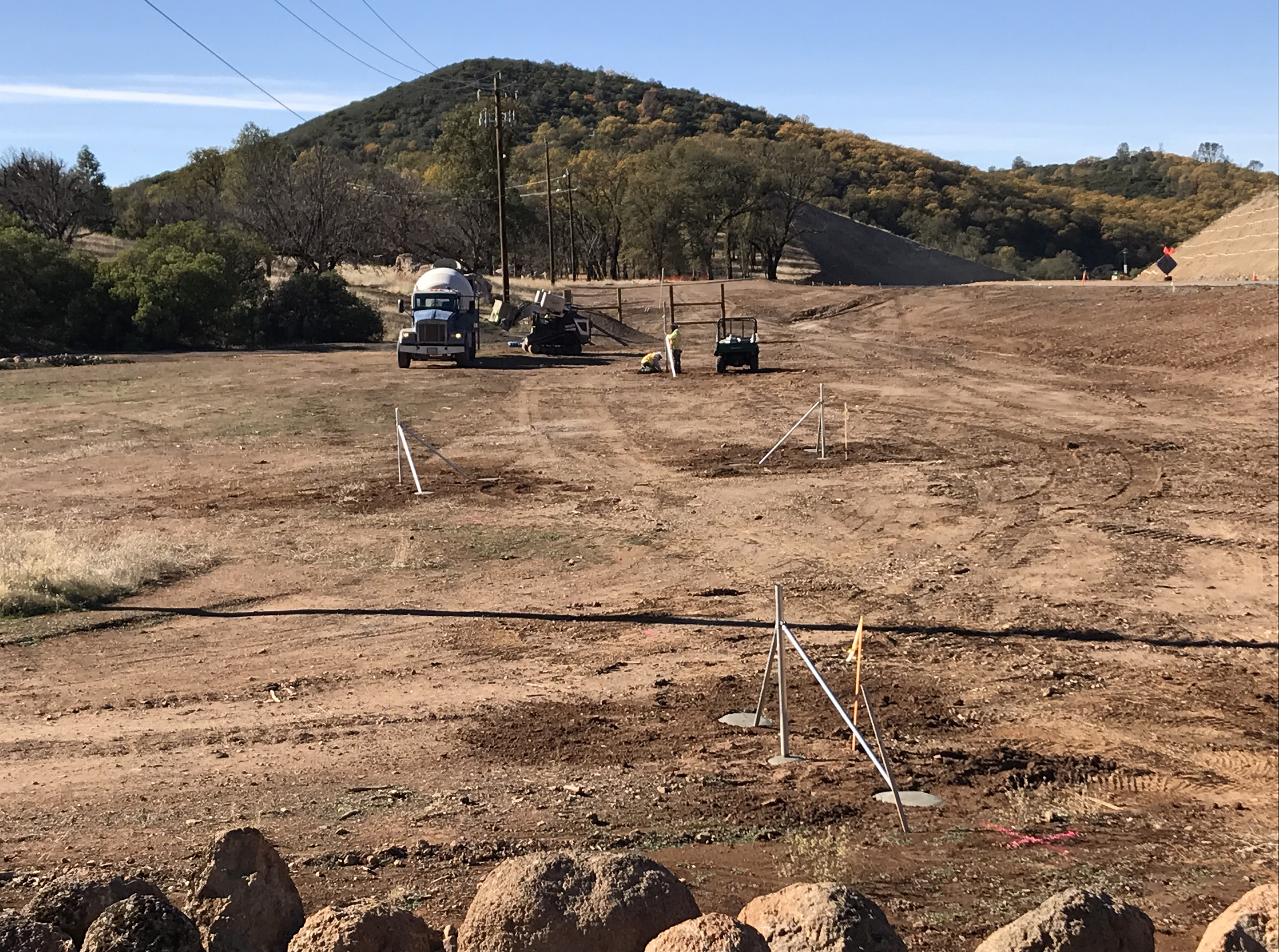
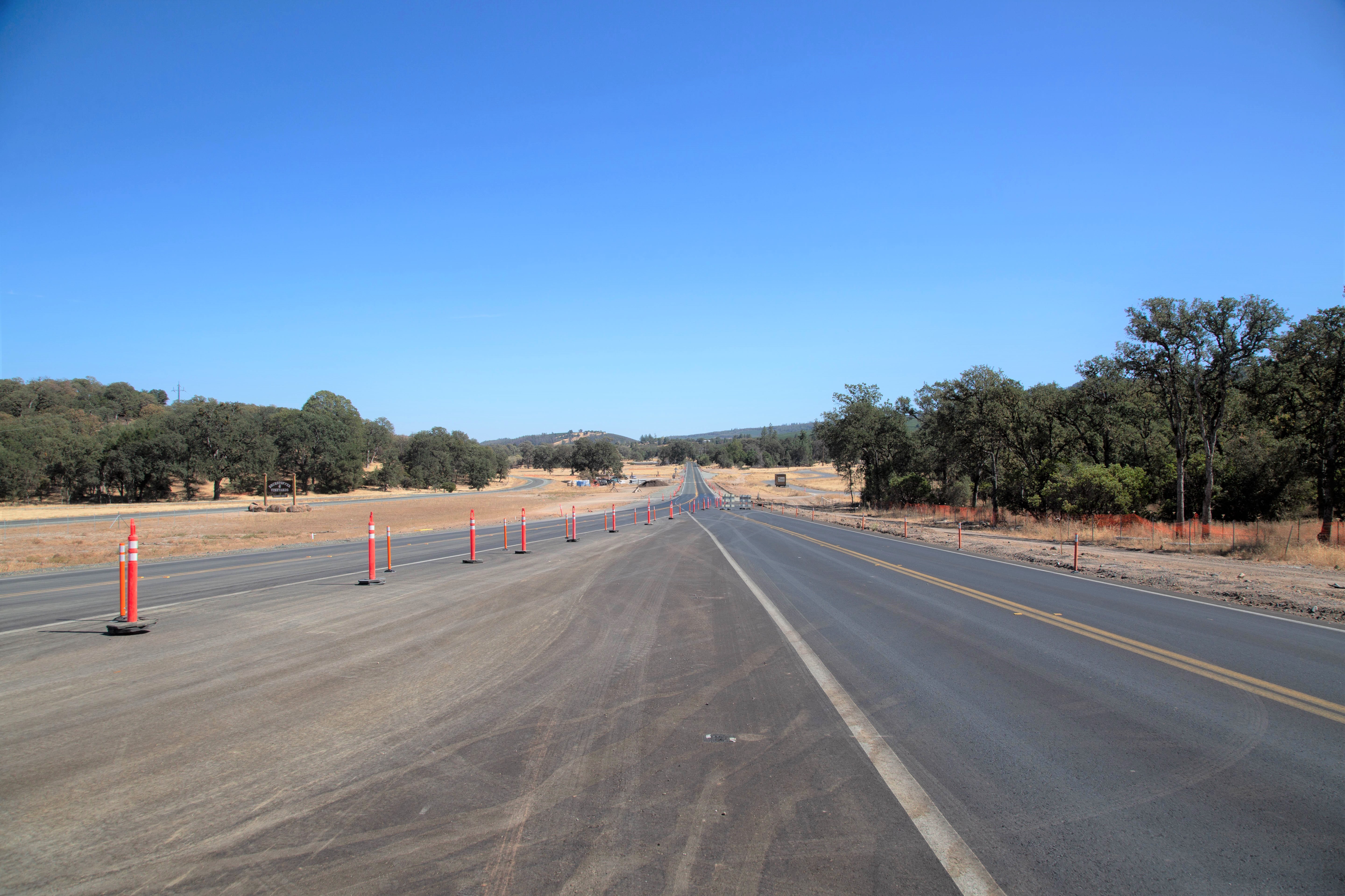
This project is a cooperative effort with the California Department of Transportation (Caltrans), the Lake County Area Planning Council (LAPC), and the Federal Highway Administration (FHWA). Located between the communities of Lower Lake and Kelseyville in Lake County, the $85 million first phase of the project widened a three-mile segment of Route 29 to a four-lane expressway to improve safety.
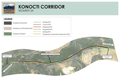
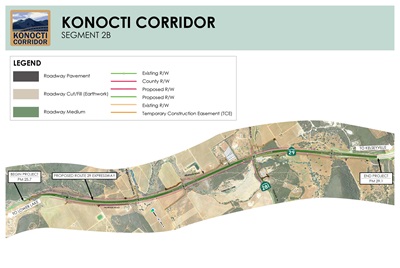
In total, the project will widen an eight-mile section of Route 29 and is separated into three different segments. Along with the newly completed 2C segment, the other two portions, segment 2A and 2B, are to the east of 2C, and the partners are working to secure funding to complete the project.
Contacts
Project Manager:
Jeff Pimentel
(707) 834-9529, TTY 711
Media Inquiries
Manny Machado
(707) 496-6879, TTY 711
Last reviewed: March 2025
Ribbon Cutting Ceremony Wednesday, June 7
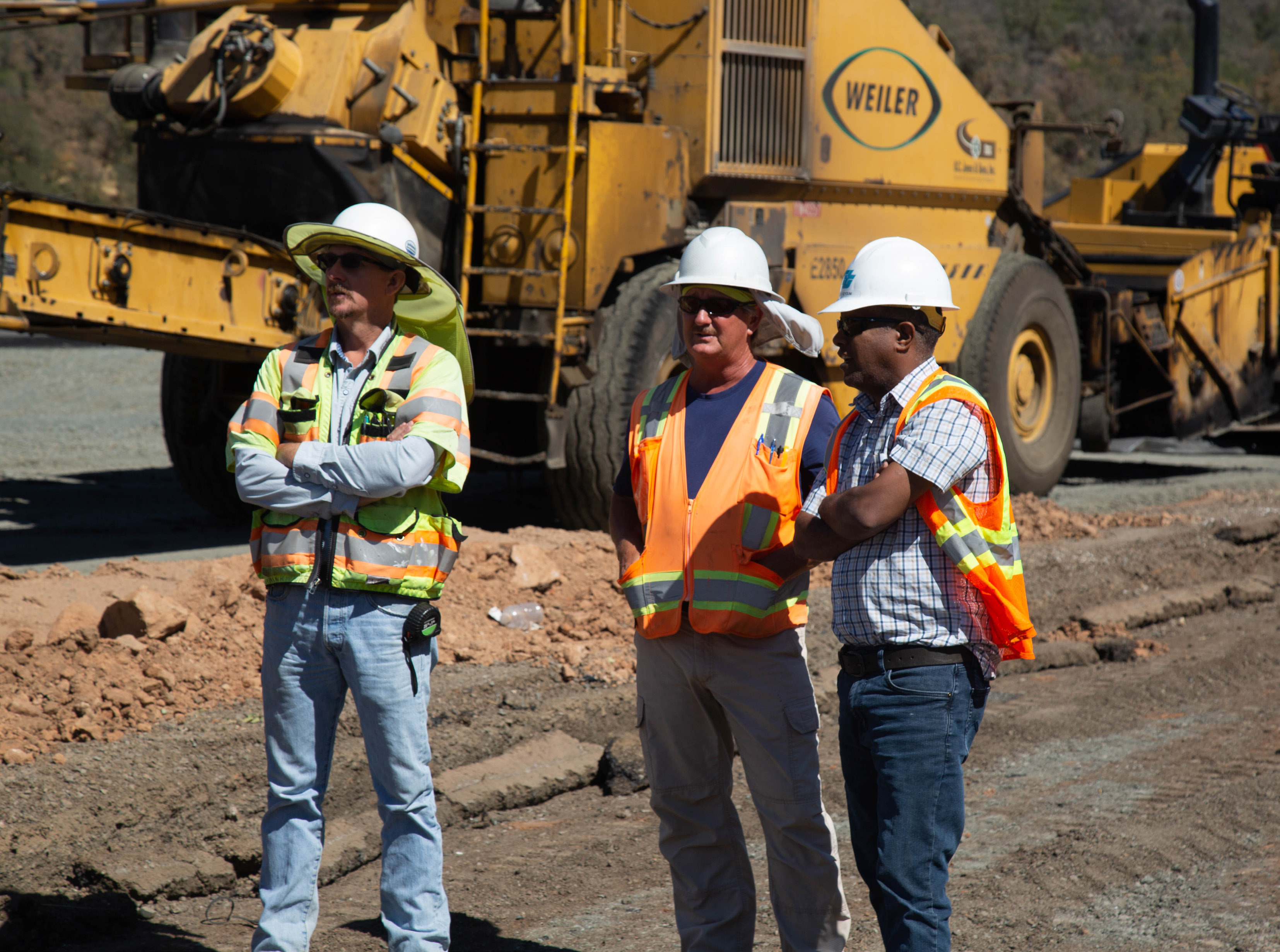
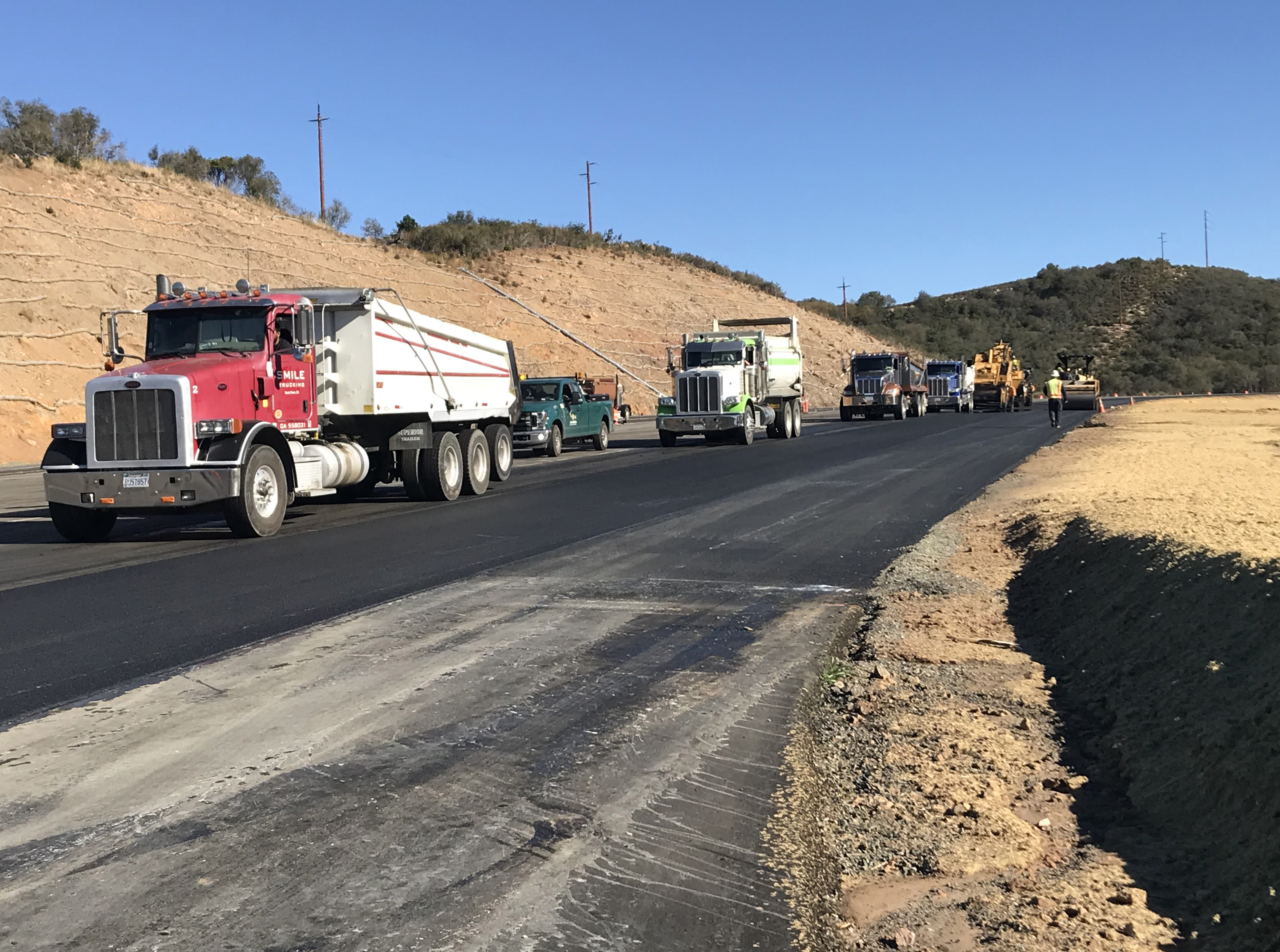
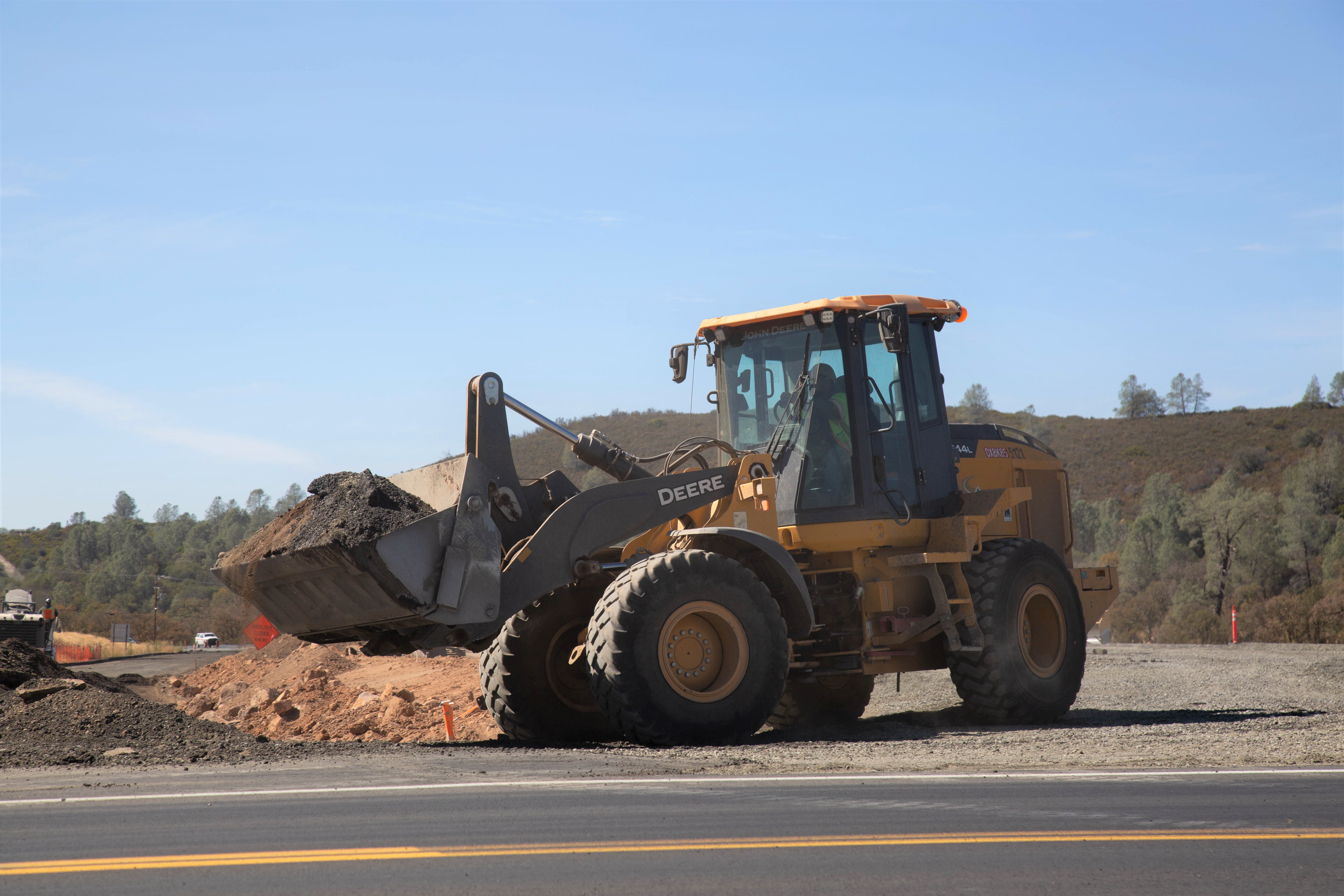
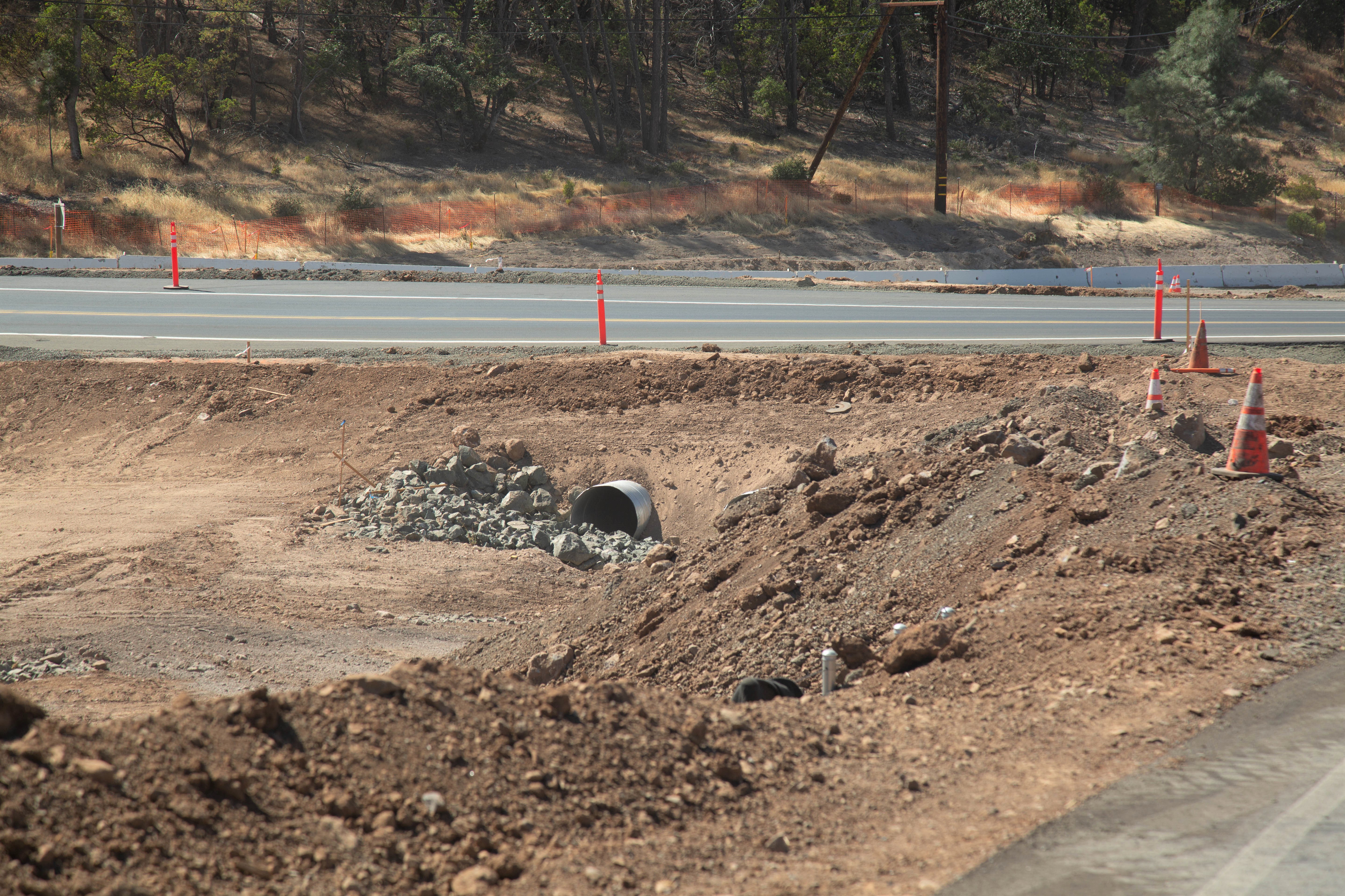
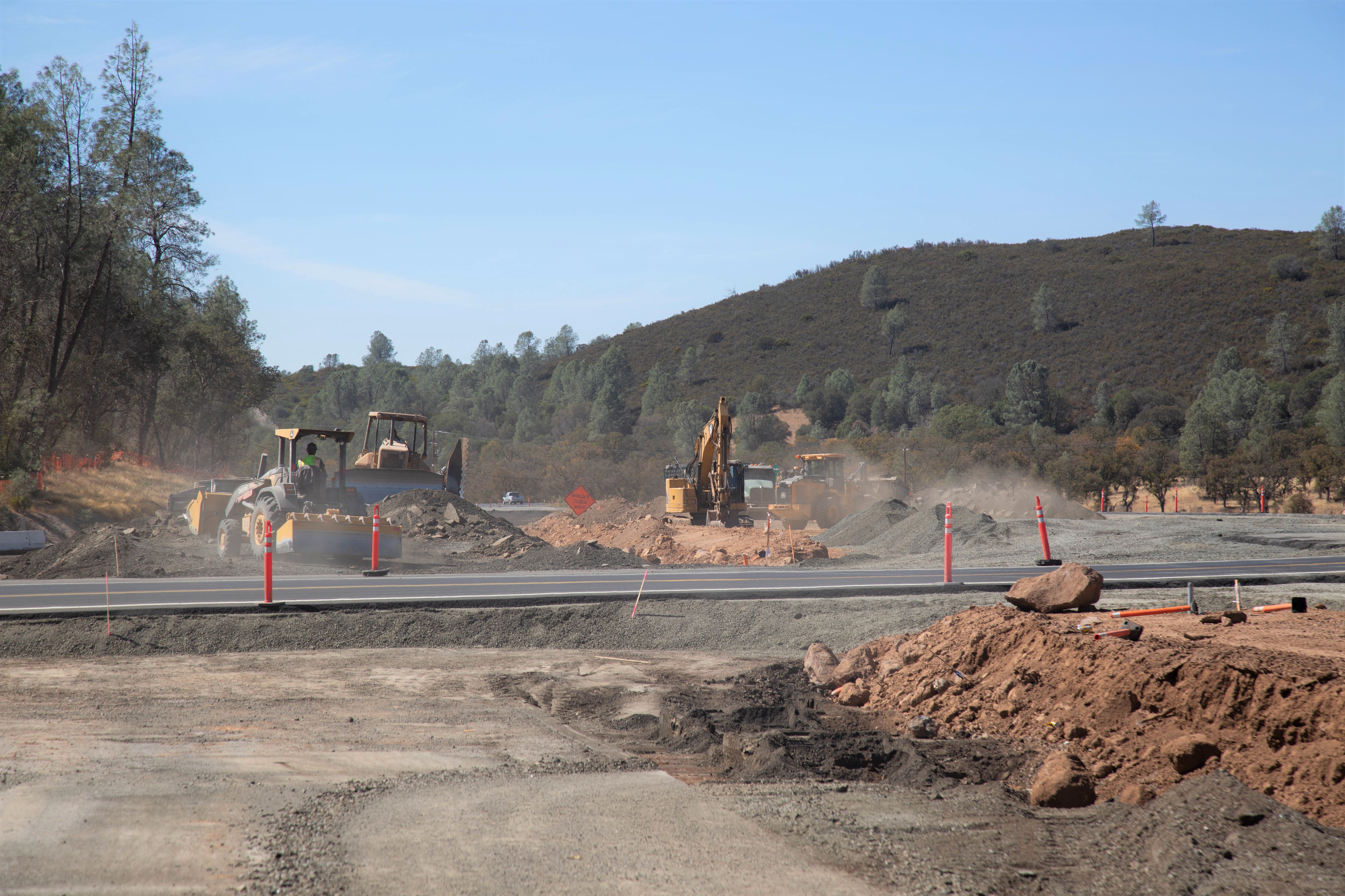
Before and During Construction Photos

Konocti Corridor (Formerly Lake 29 Improvement) Virtual Groundbreaking
Social Media Updates
Search #KonoctiCorridor to find social media updates. Click the thumbnail below to view original posts (external site).