Caltrans at 50: District 9
The origins of the California Department of Transportation can be traced back to 1895 when Governor James Budd signed into law the establishment of the Bureau of Highways. The agency got its first name change in 1896 when it rebranded as the Department of Highways. Initially an independent entity, the Department of Highways was brought under the Department of Engineering in 1907. Five years later, the department would establish the first seven administrative divisions. Kern, Inyo, and Mono counties were part of the Fresno Division until 1921 when Inyo and Mono counties became part of a new division based out of Bishop. In 1972, Governor Ronald Reagan signed AB 69, establishing Caltrans as an independent agency. On July 1, 1973, the new Caltrans name went into effect, and the agency has stuck with it ever since.
No matter what we're called, the Department of Transportation has served the people of California for more than 100 years. Today, there are 12 Caltrans Districts, including Caltrans District 9, which serves Inyo, Mono, and Eastern Kern counties. As we look back at 50 years of Caltrans, we've highlighted a few of the biggest projects and events District 9 has seen over the past five decades.
Click here to learn more about the long history of Caltrans and the California Department of Transportation, starting way back in the 1890s.
Walker River Flood
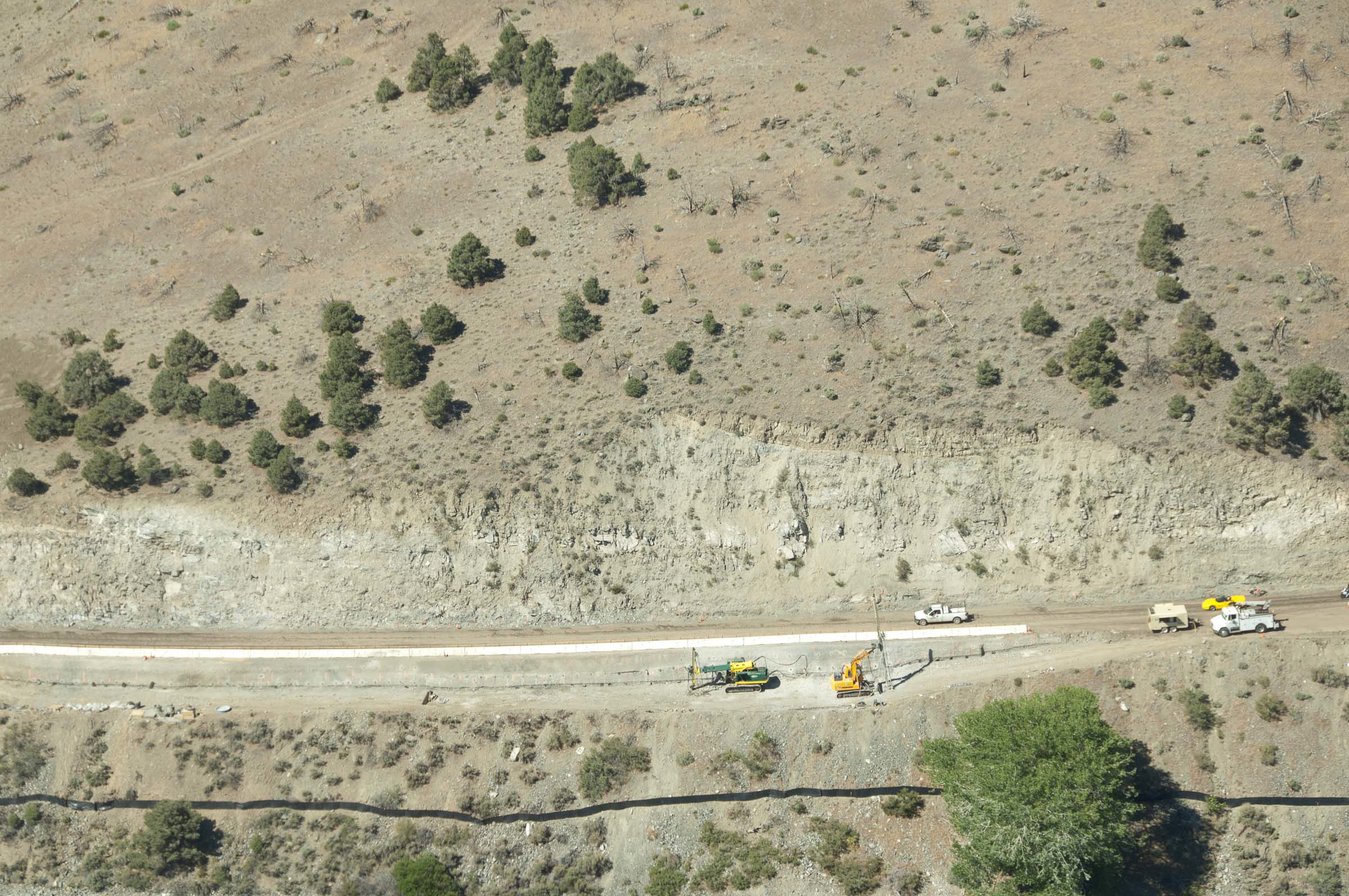
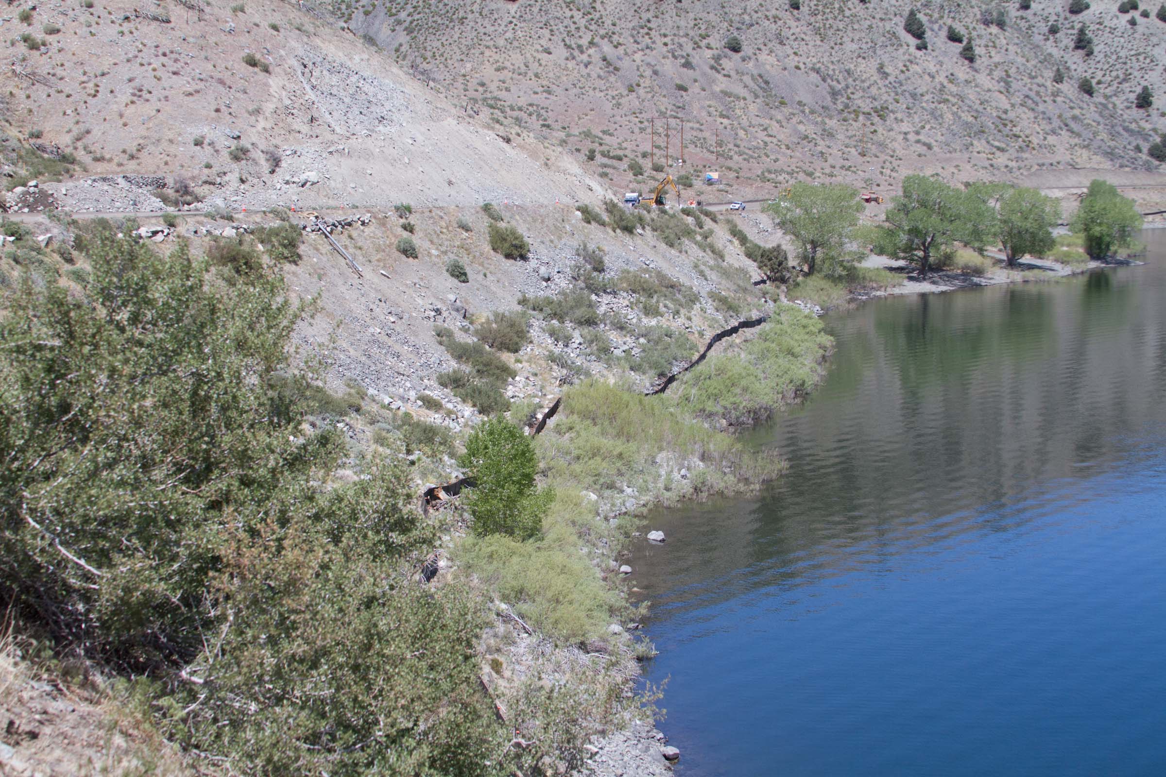
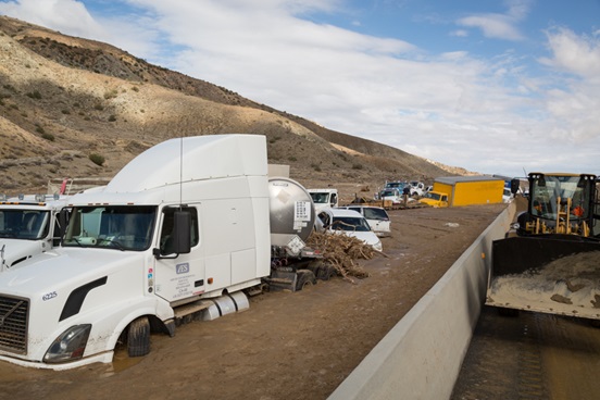
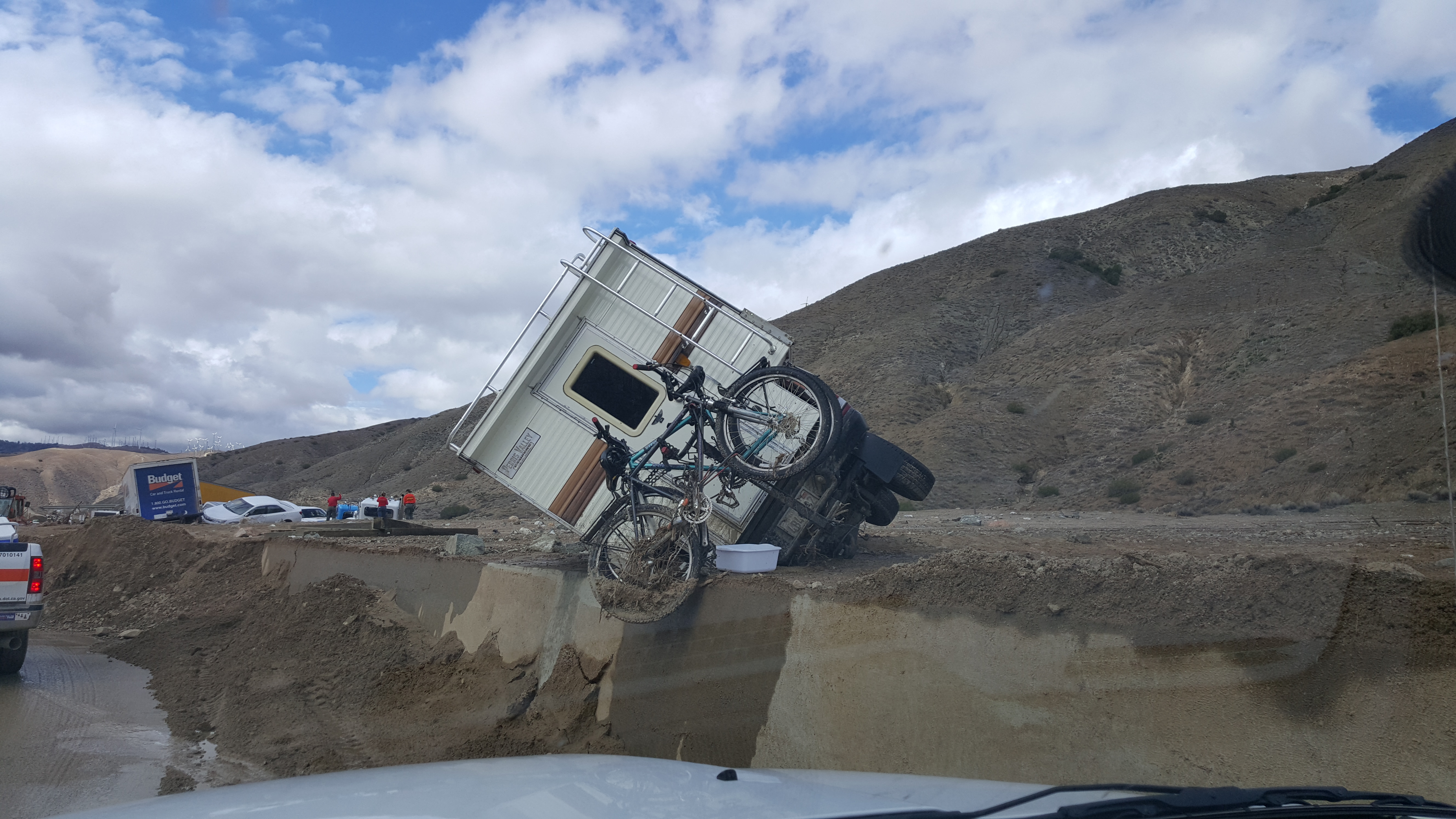
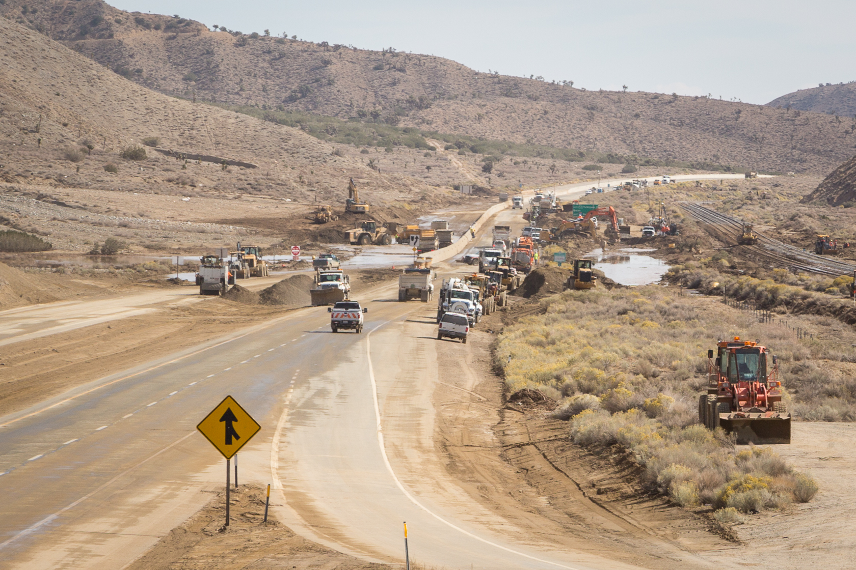
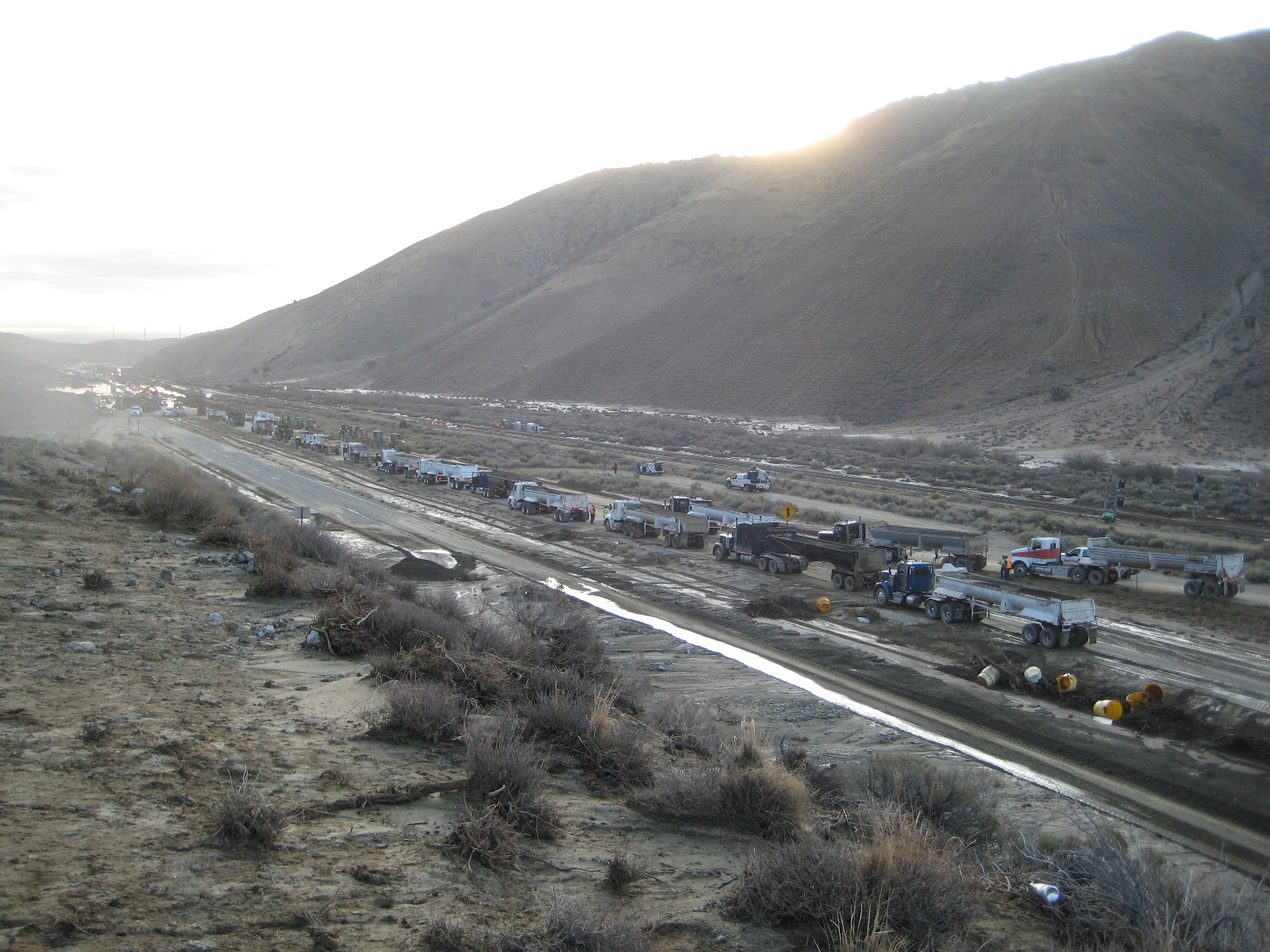
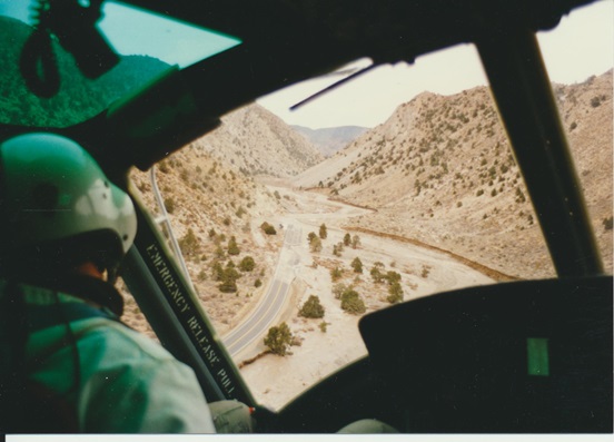
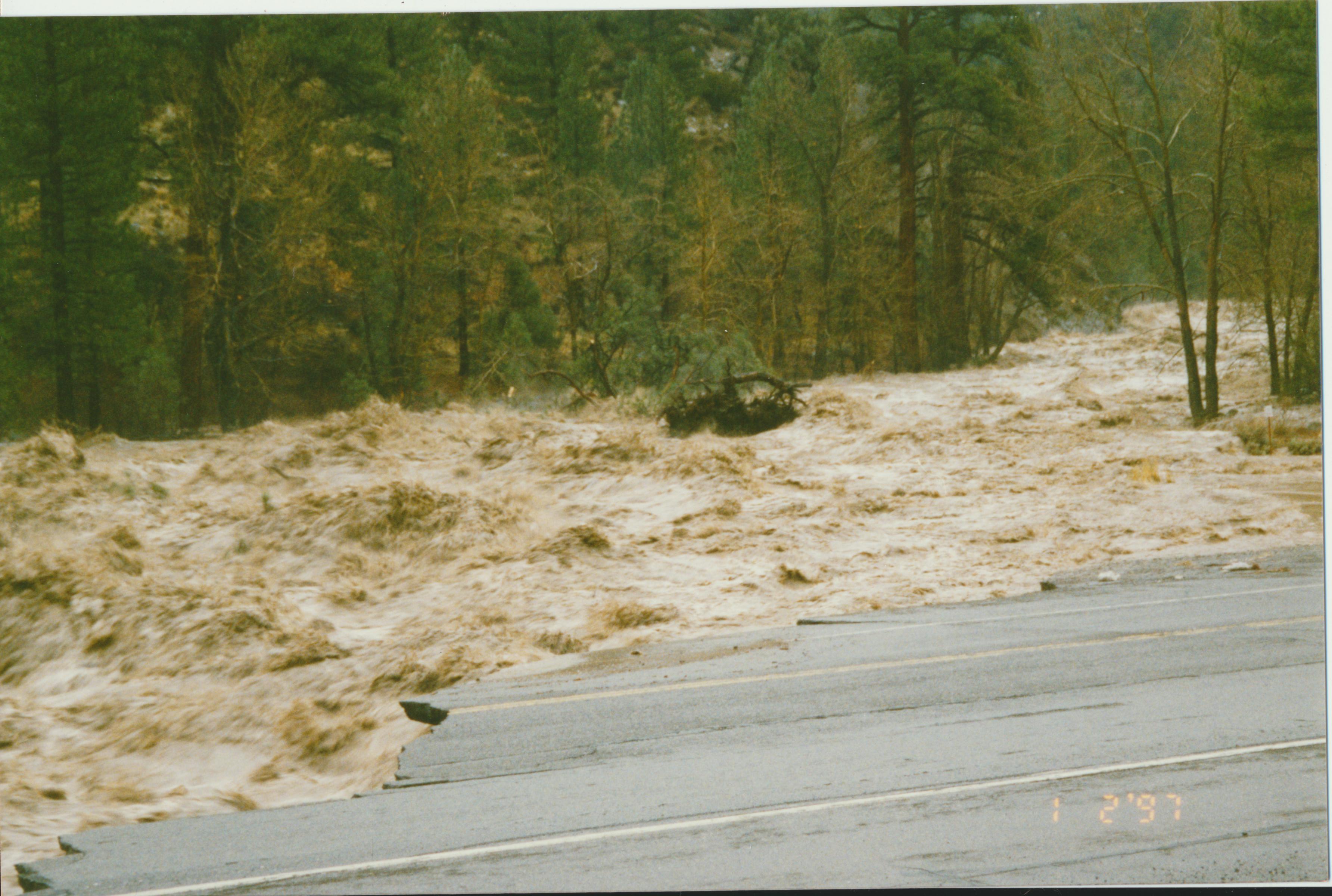
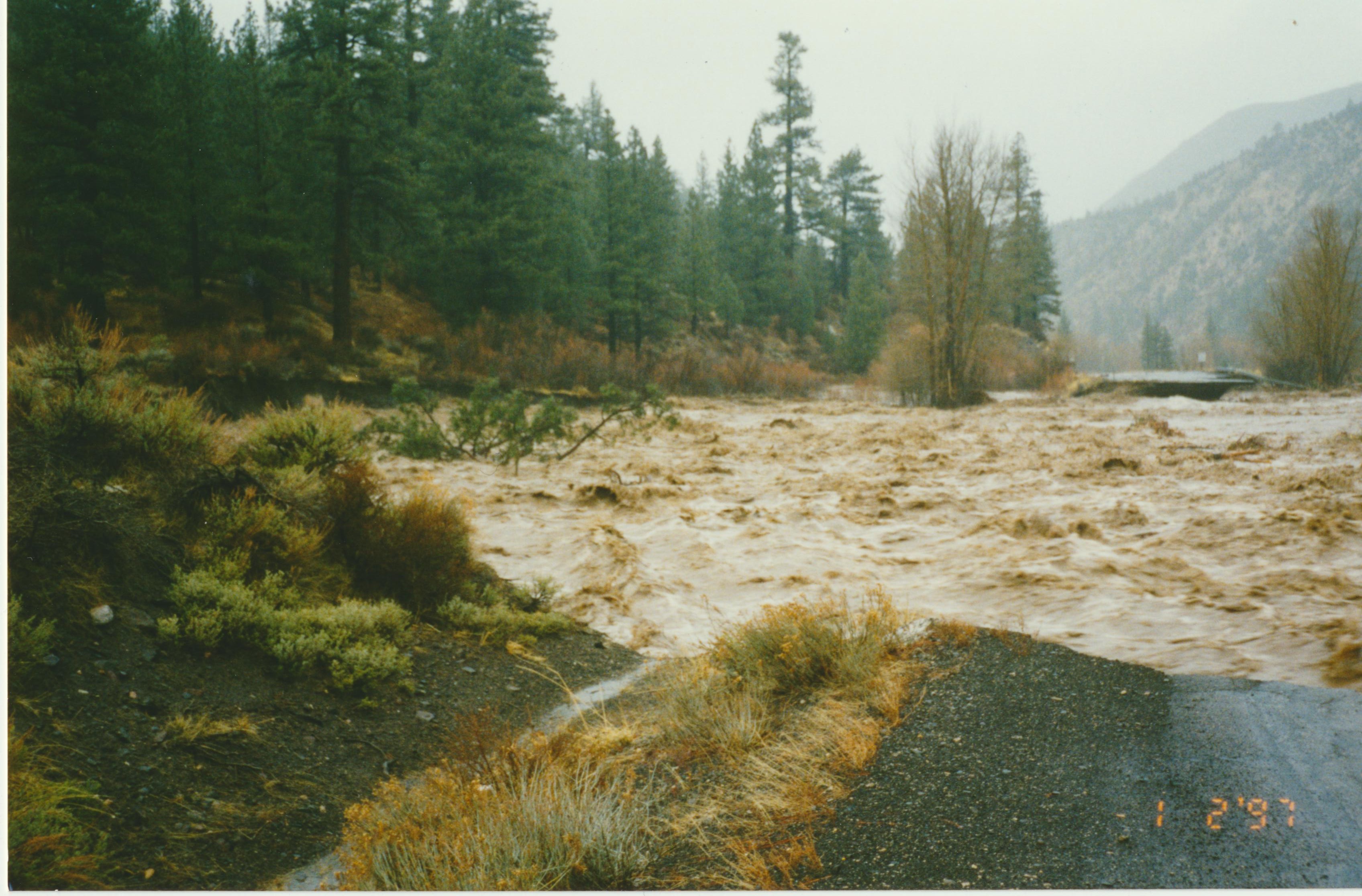
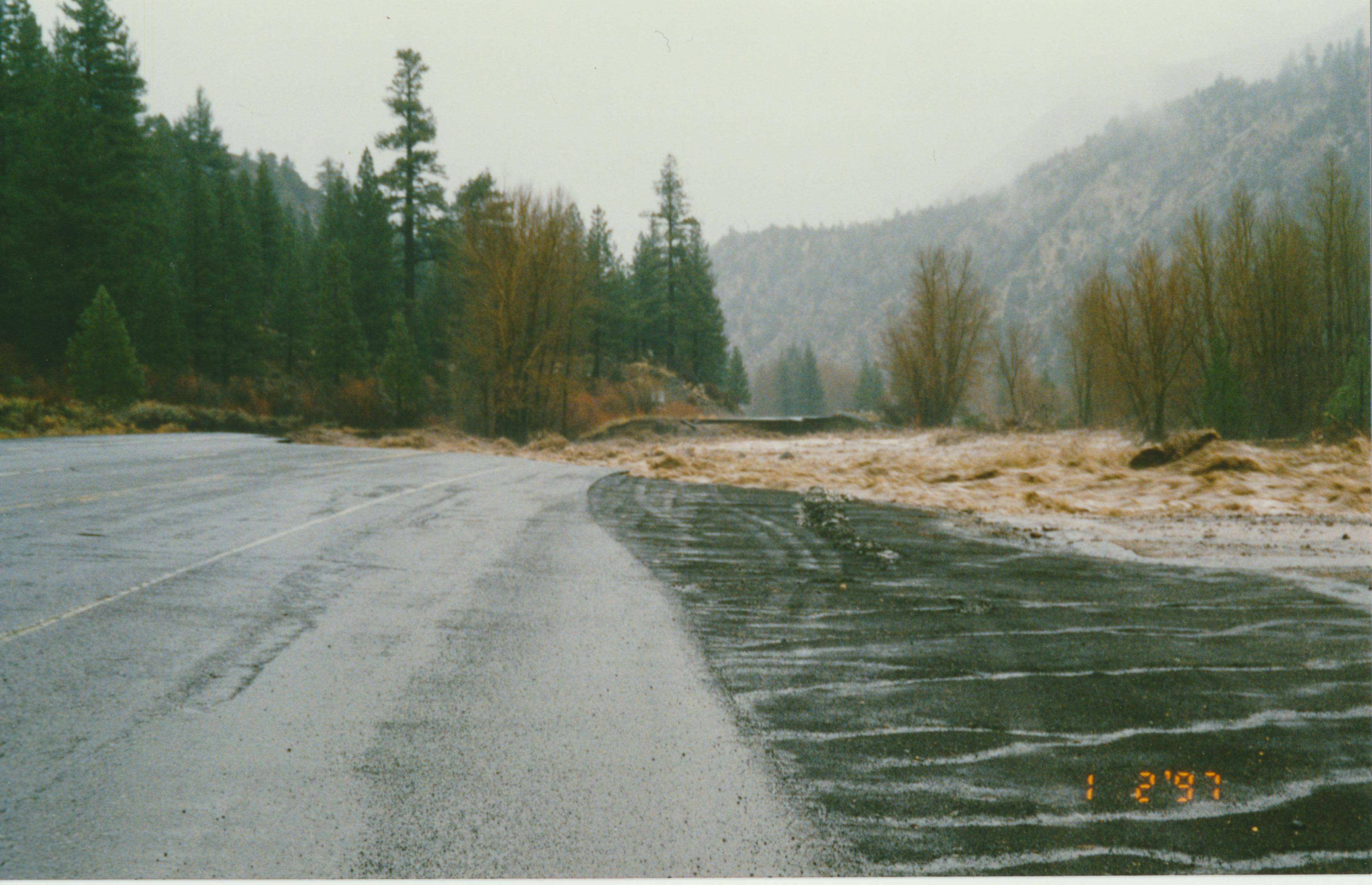
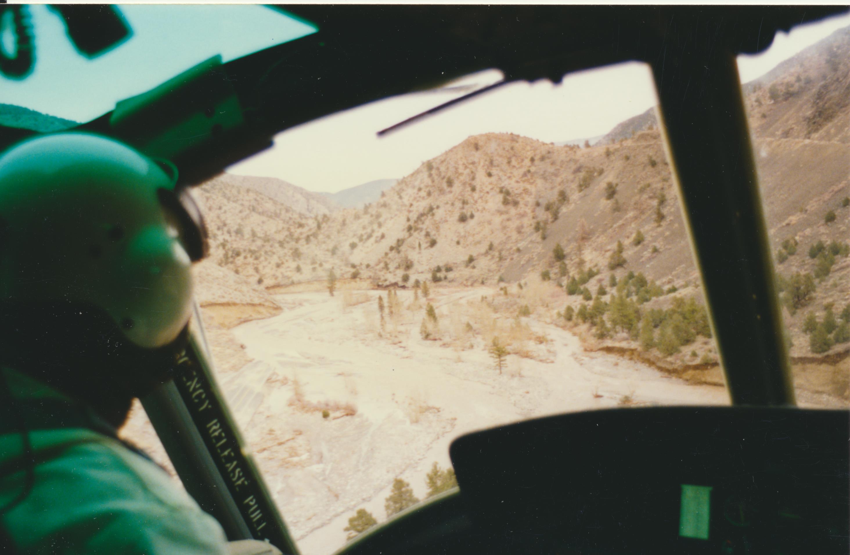
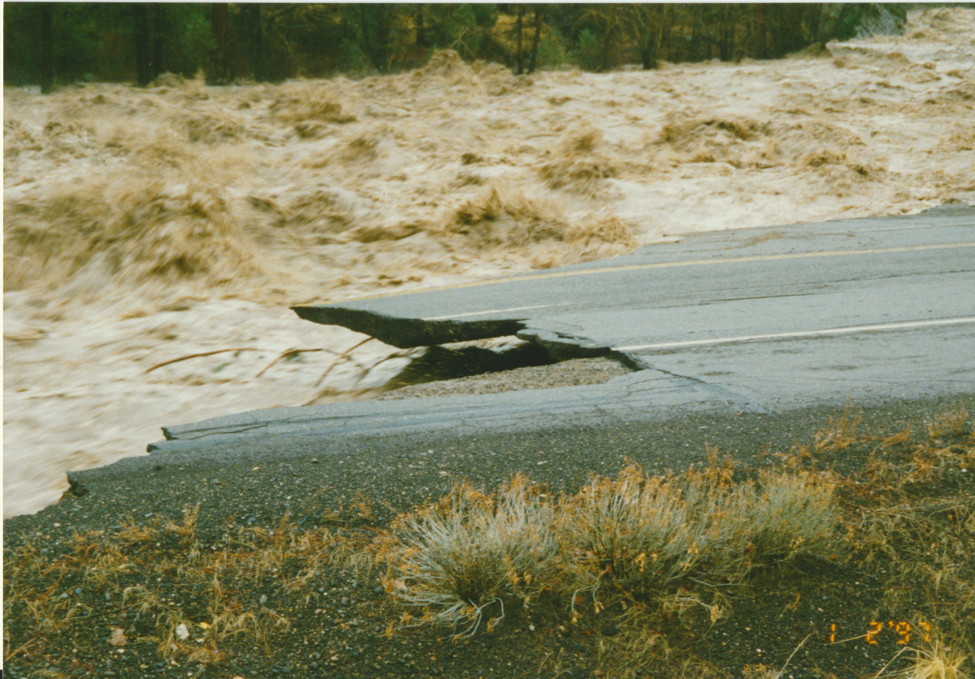
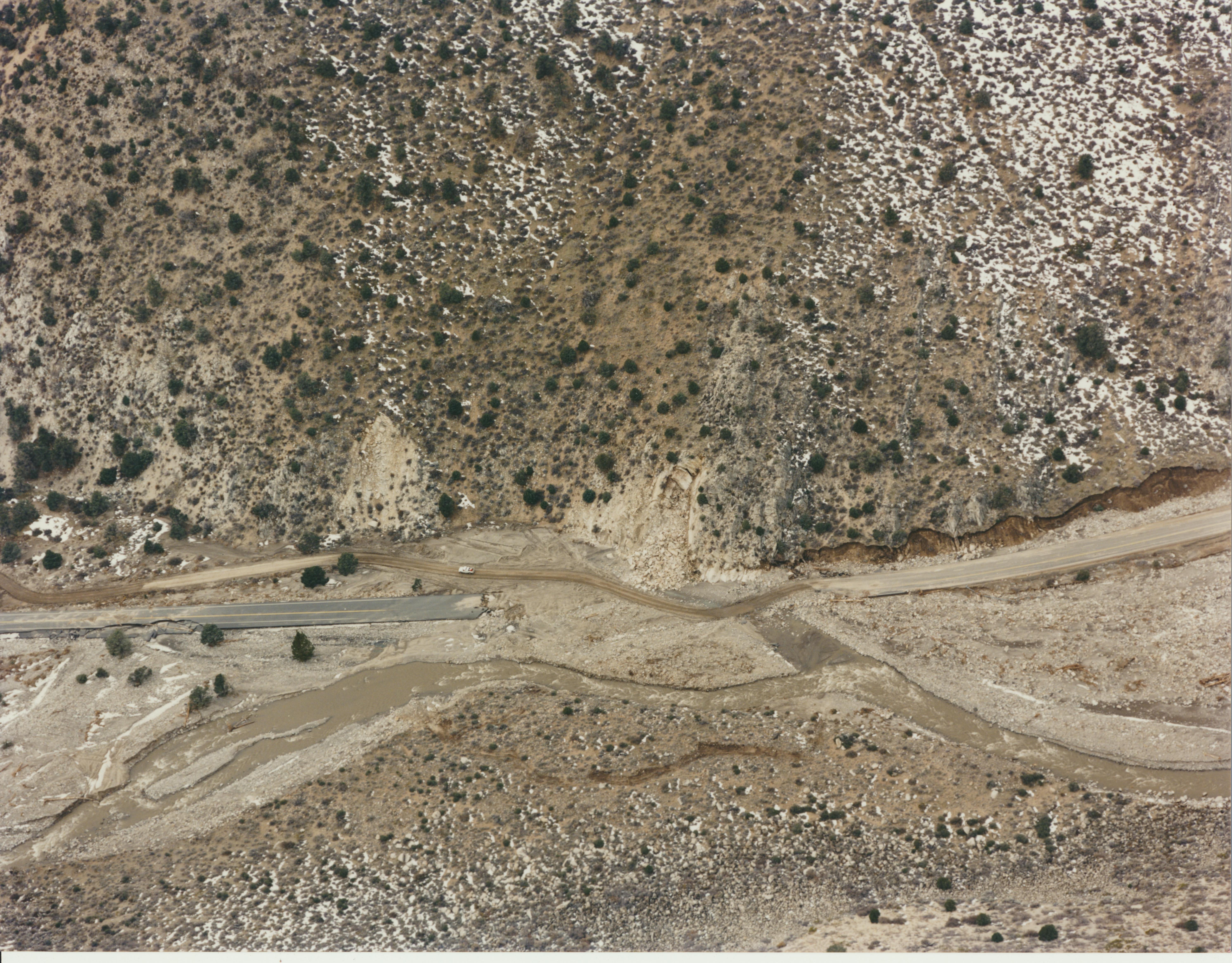
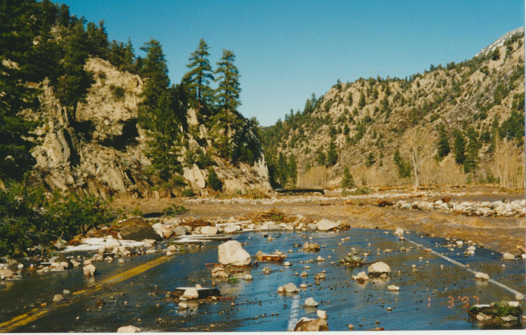
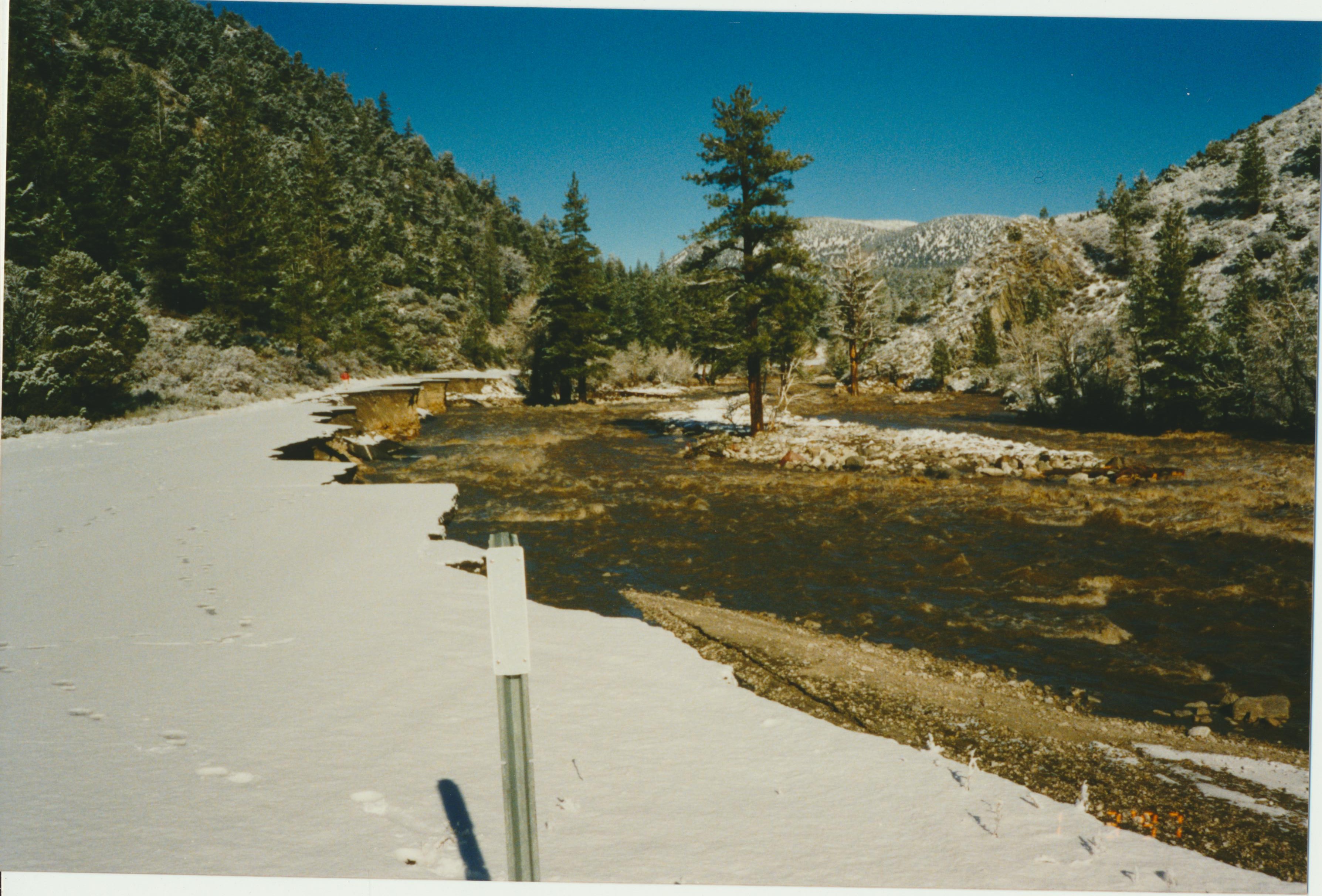
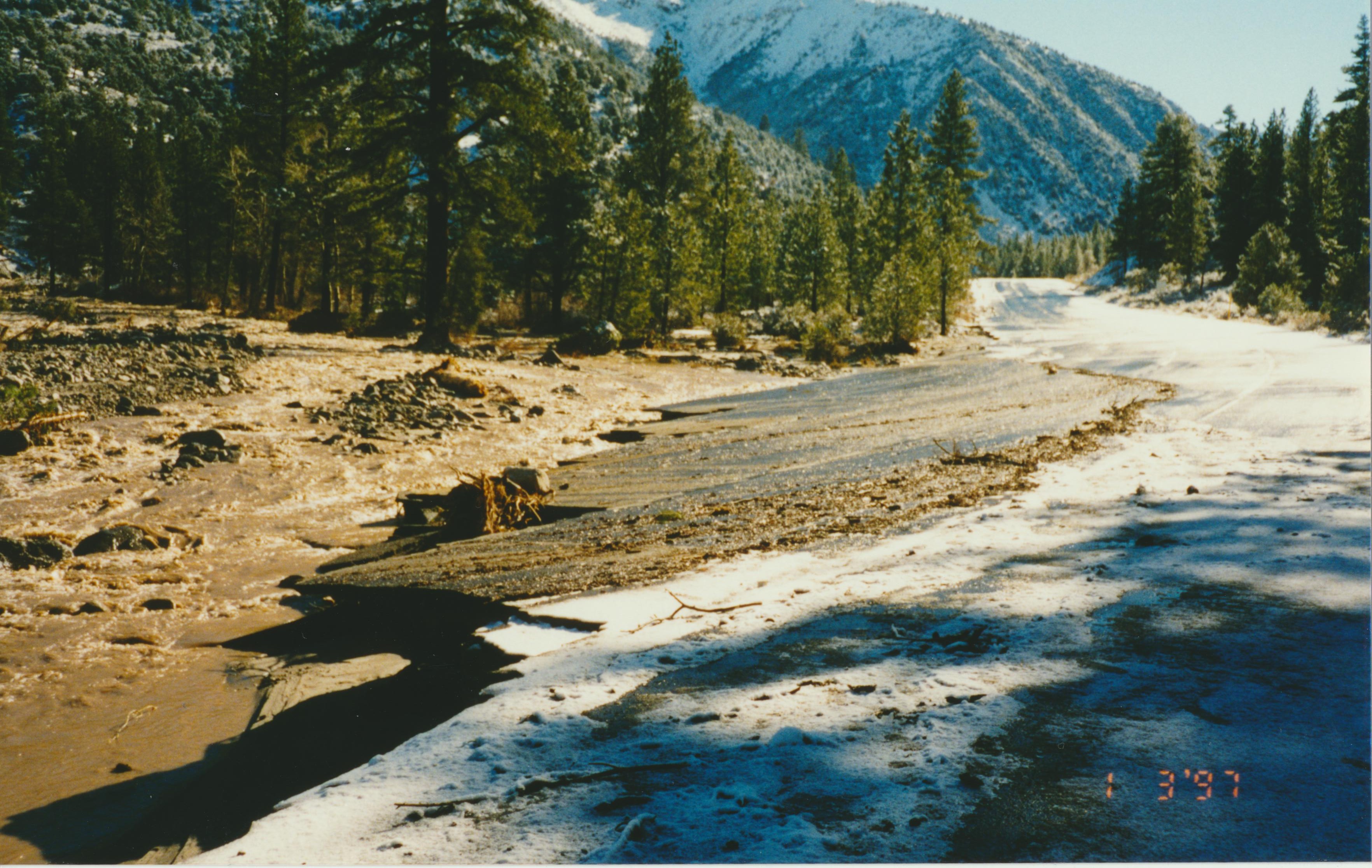
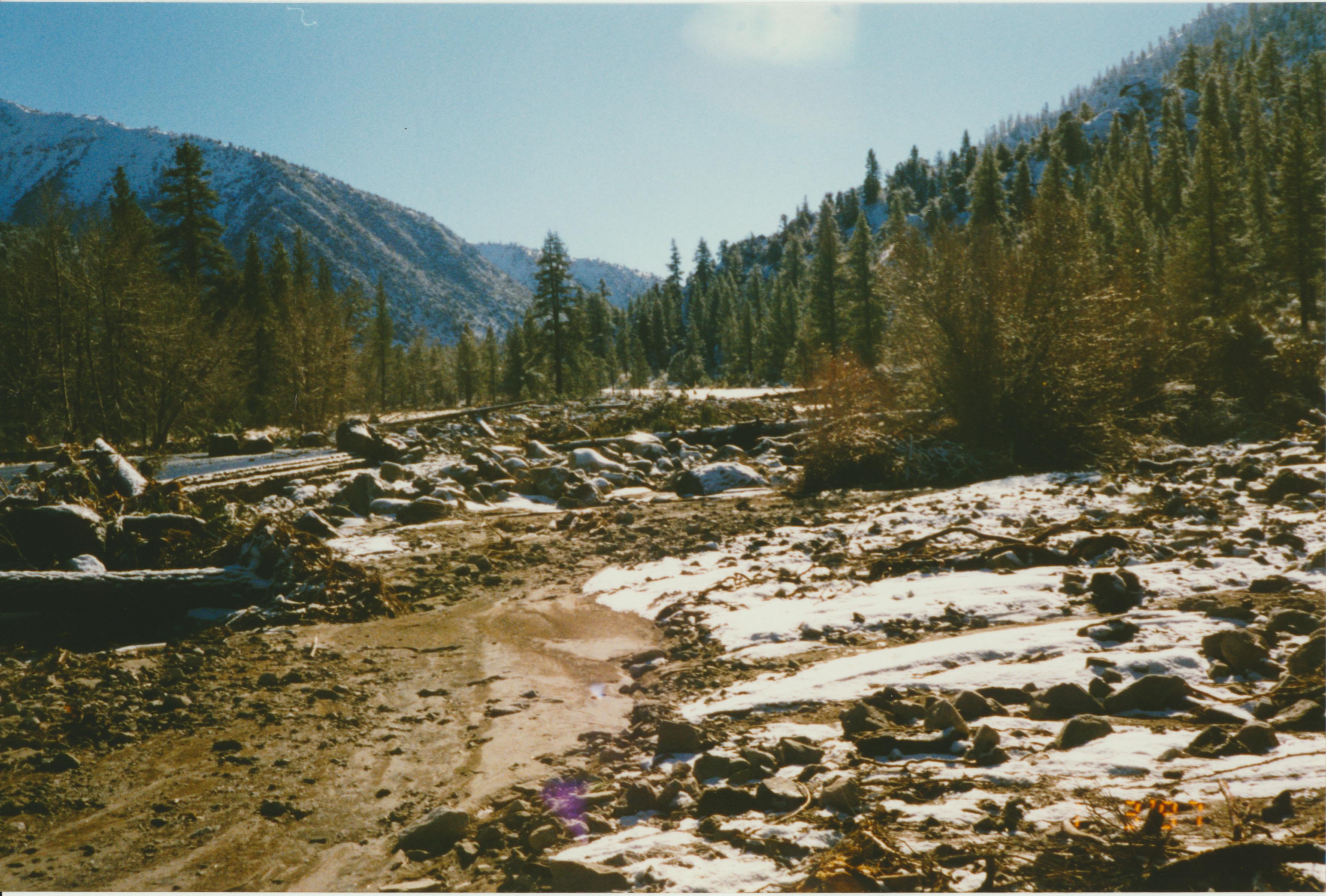
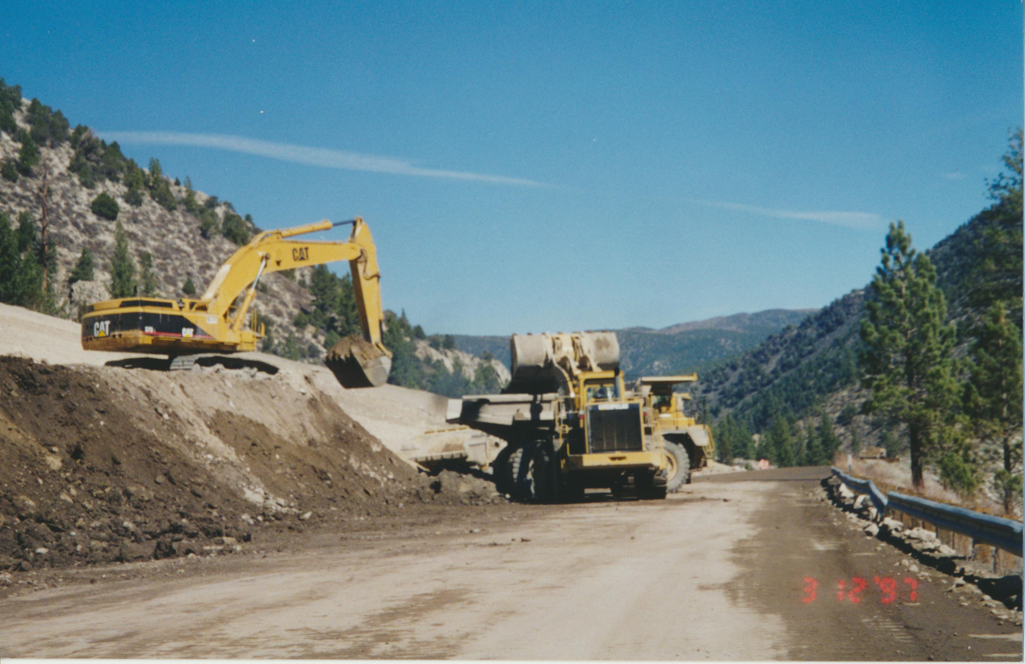
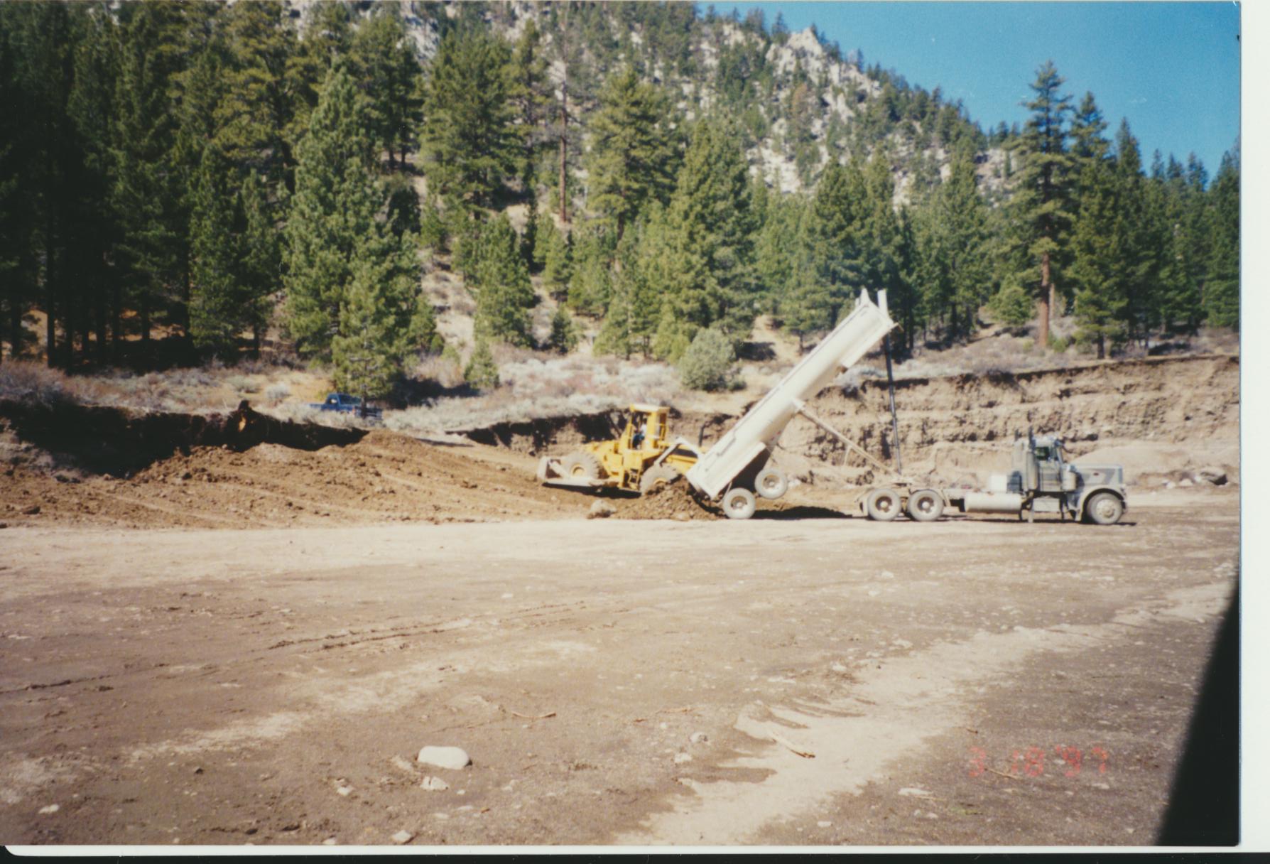
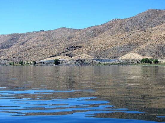
In January 1997, roughly 10 miles of U.S. 395 in Walker Canyon was ripped apart by historic flooding of the West Walker River. The raging waters of the river tore apart the pavement and reshaped the river base along the highway, cutting off this vital transportation route. Caltrans issued two emergency repair contracts the very next month, one for the highway and one for the river habitat. Construction on both contracts ran concurrently and the highway reopened in June 1997.
Walker River Flood Photo Gallery
Watch: Walker River Damage Repair Informational Video (YouTube)
Walker River Flood Gallery
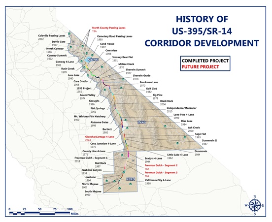
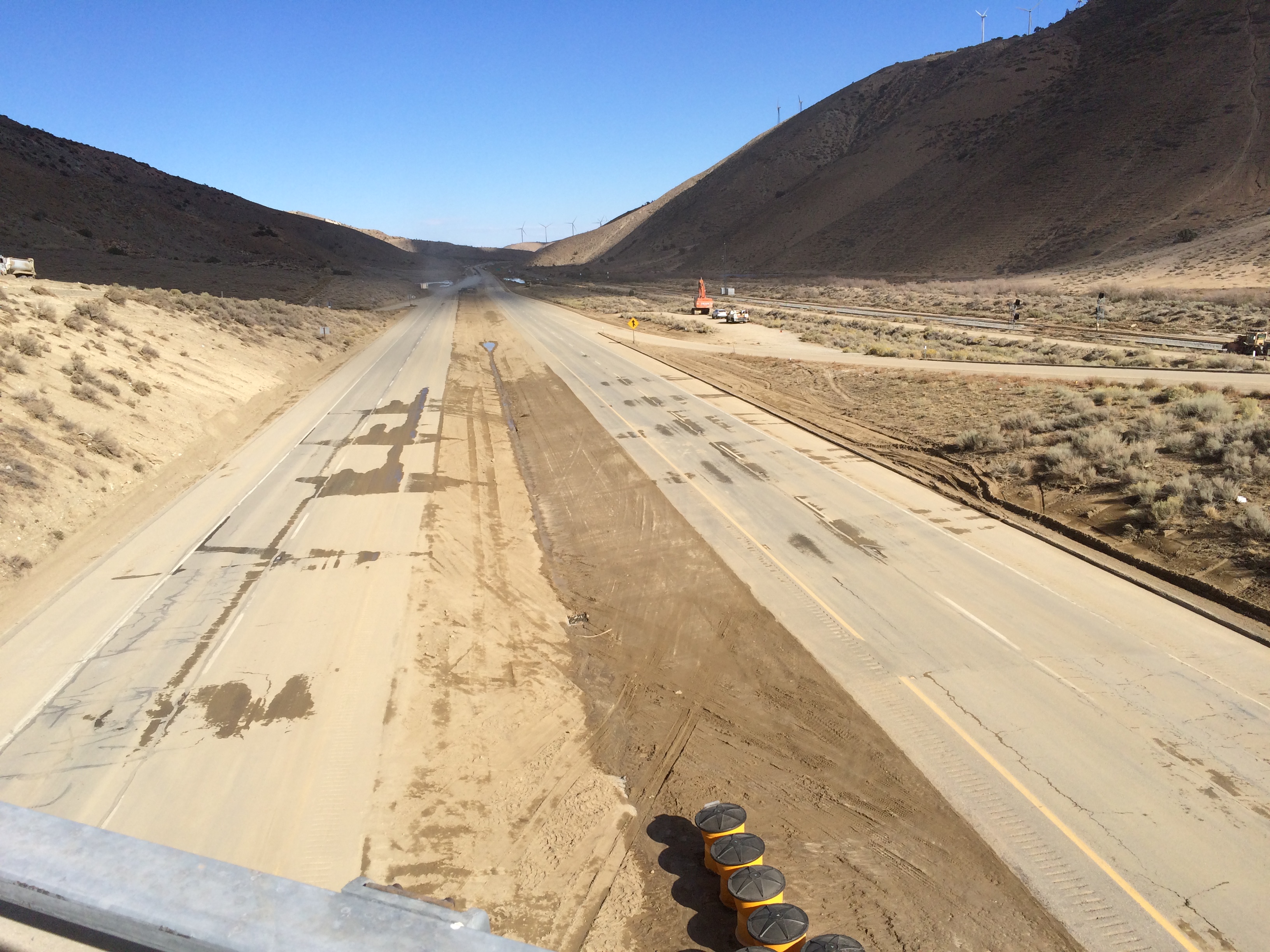
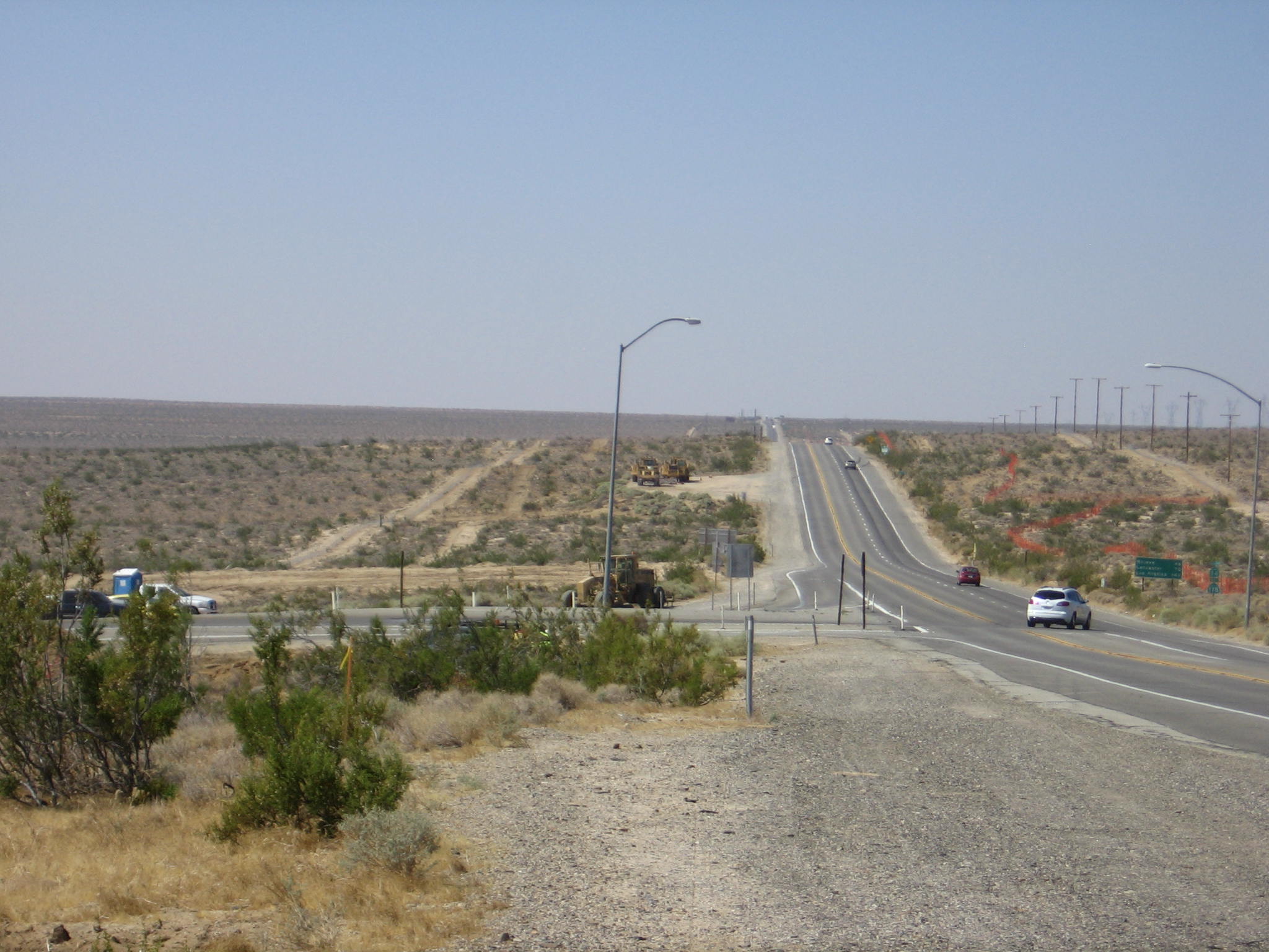
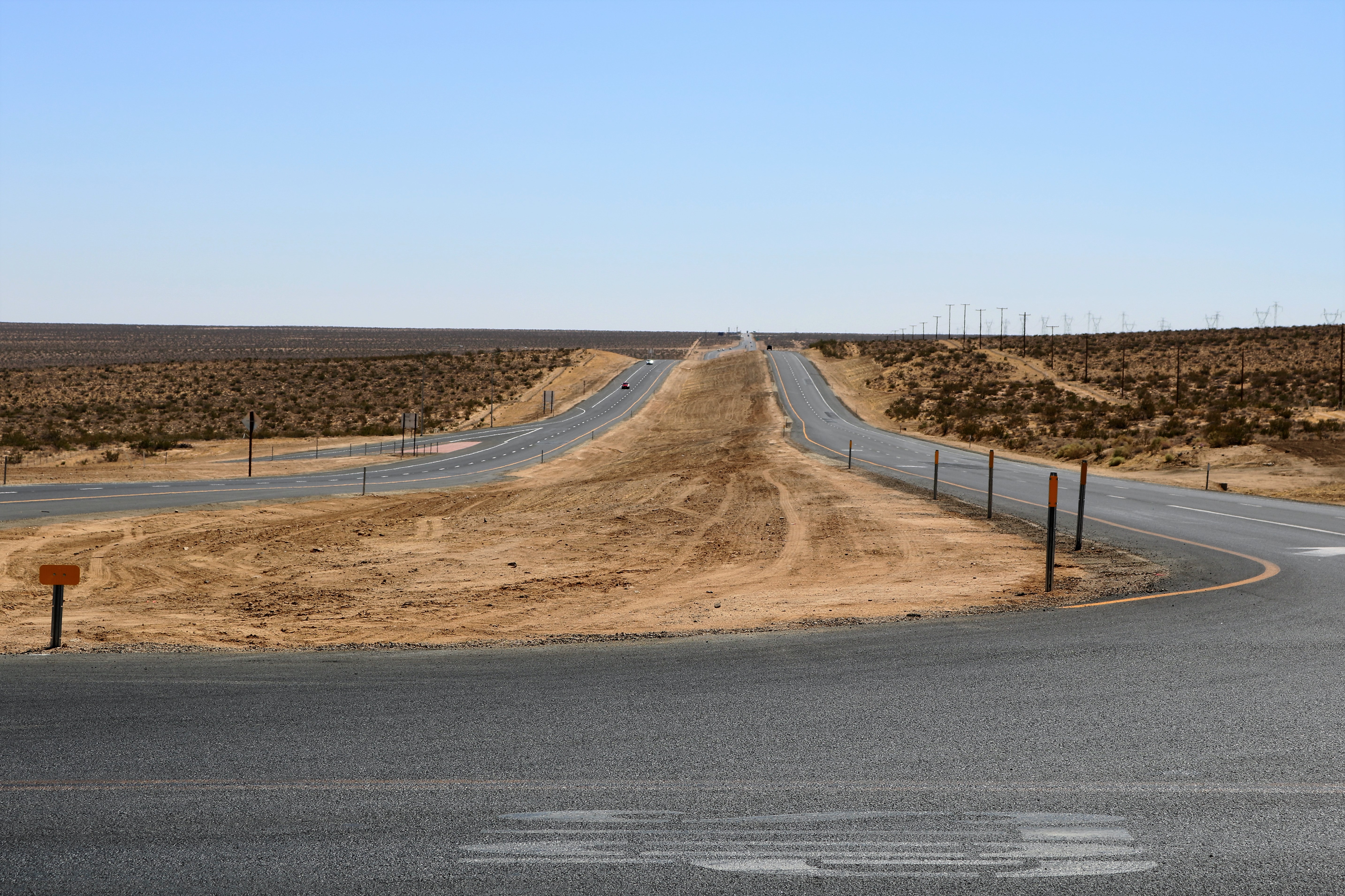
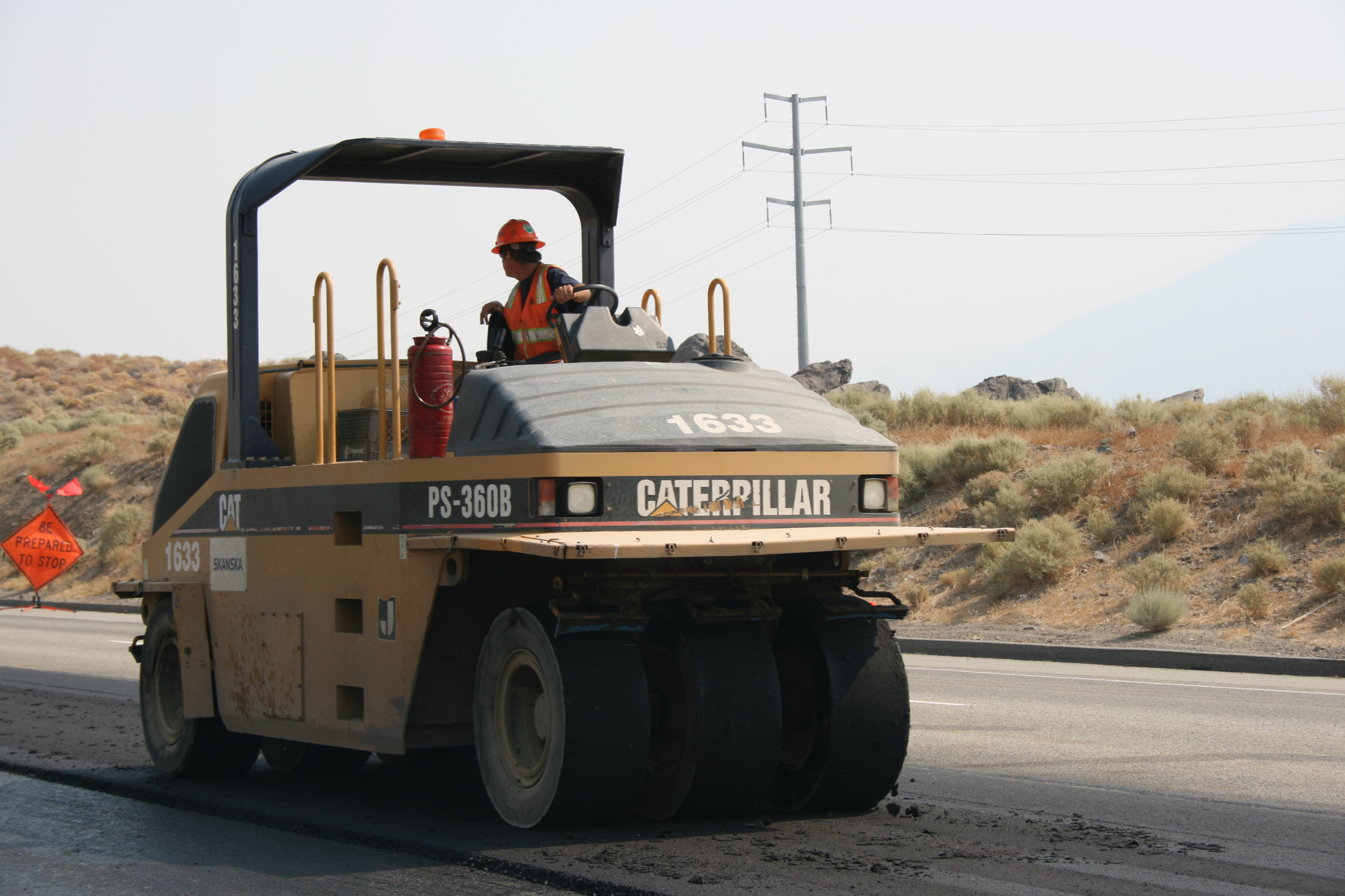
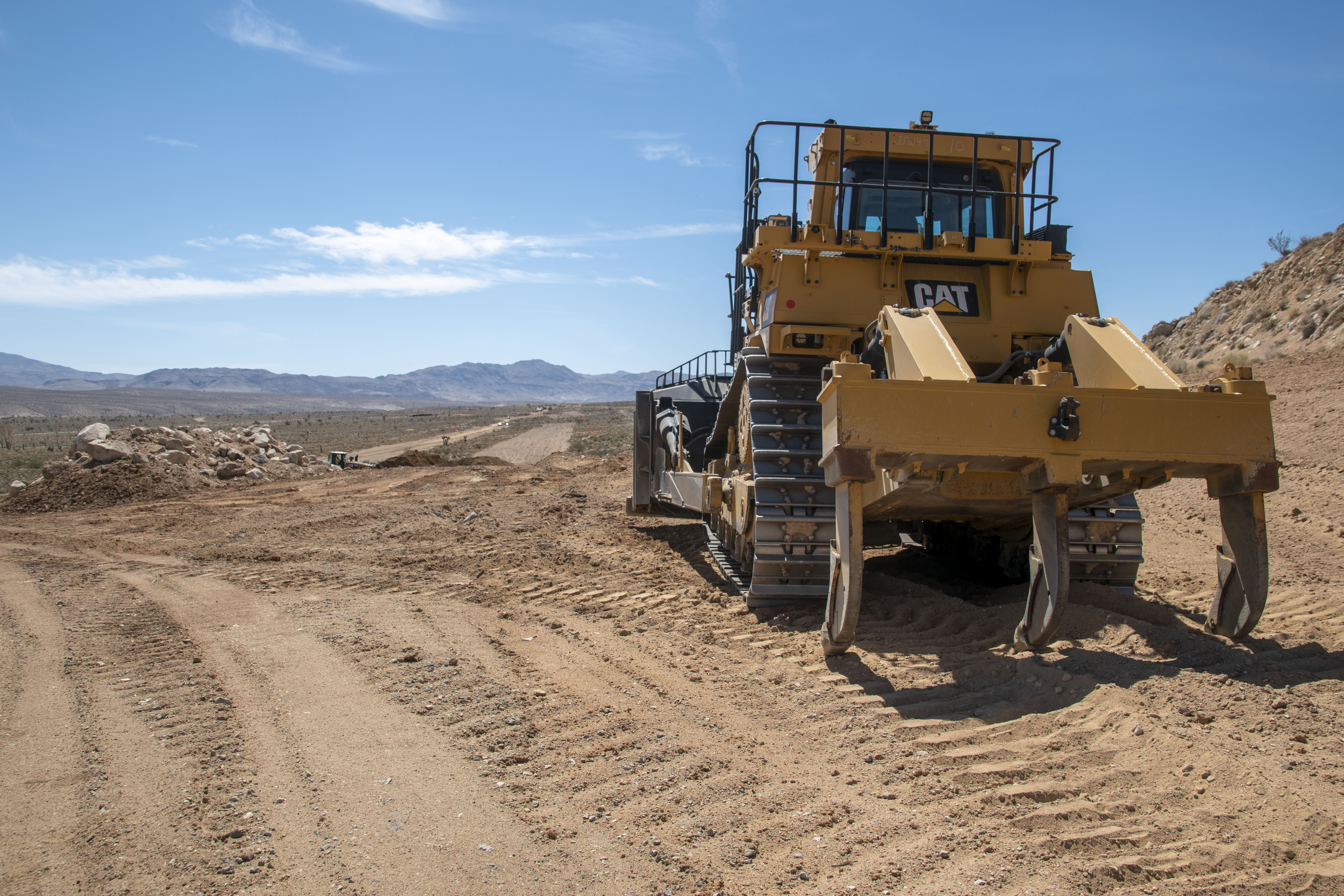
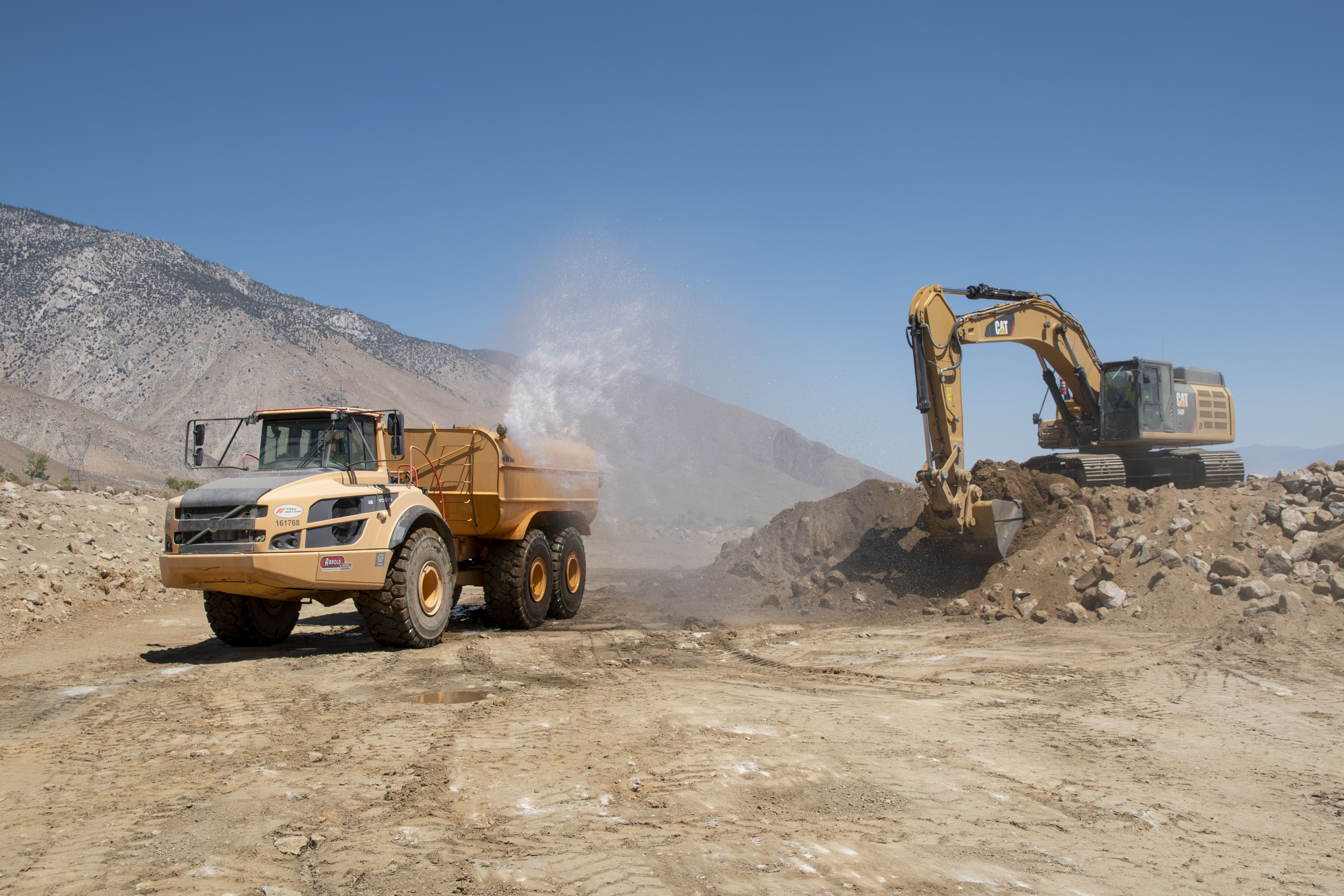
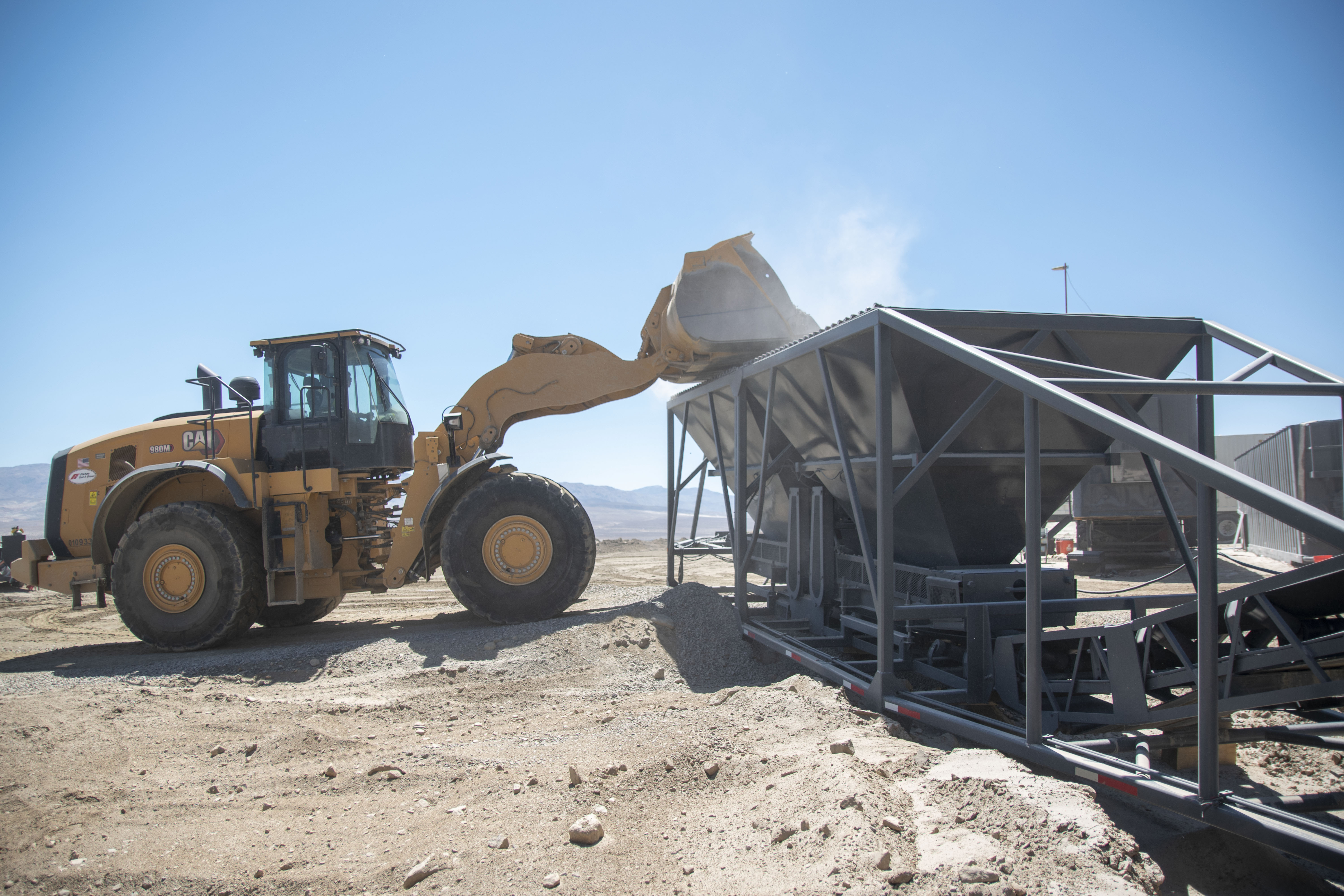
US 395-State Route 14 Corridor Project
Corridor Project Gallery
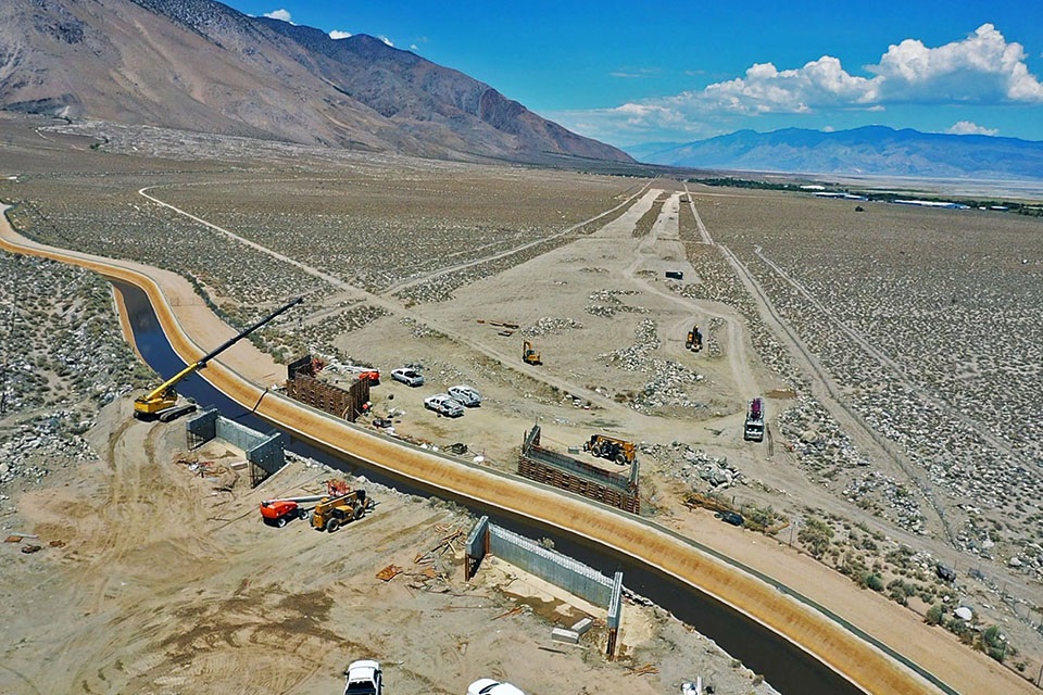
High Point Curve Correction Project
High Point Gallery