San Francisco–Oakland Bay Bridge (SFOBB) Adaptation Planning Feasibility Study
Project Overview
The SFOBB Adaptation Plan is a two-year adaptation planning feasibility study focused on preparing the East Bay side of the Bay Bridge for climate threats such as flooding, sea level rise, and storm surge. The study will assess vulnerabilities, explore near- and long-term adaptation strategies, and identify feasible approaches for future implementation. It will include robust public engagement and coordination with Caltrans, local agencies, and other partners to develop a shared vision for a more resilient Bay Bridge.
The Bay Bridge Adaptation Plan (Plan) will build on existing local and regional planning to identify near- and long-term adaptation strategies that improve the resilience of the East Bay side of the Bay Bridge (shown in Image 1, below). The Plan will include public outreach and early coordination with Caltrans and partner agencies to align around a shared vision for a resilient Bay Bridge.
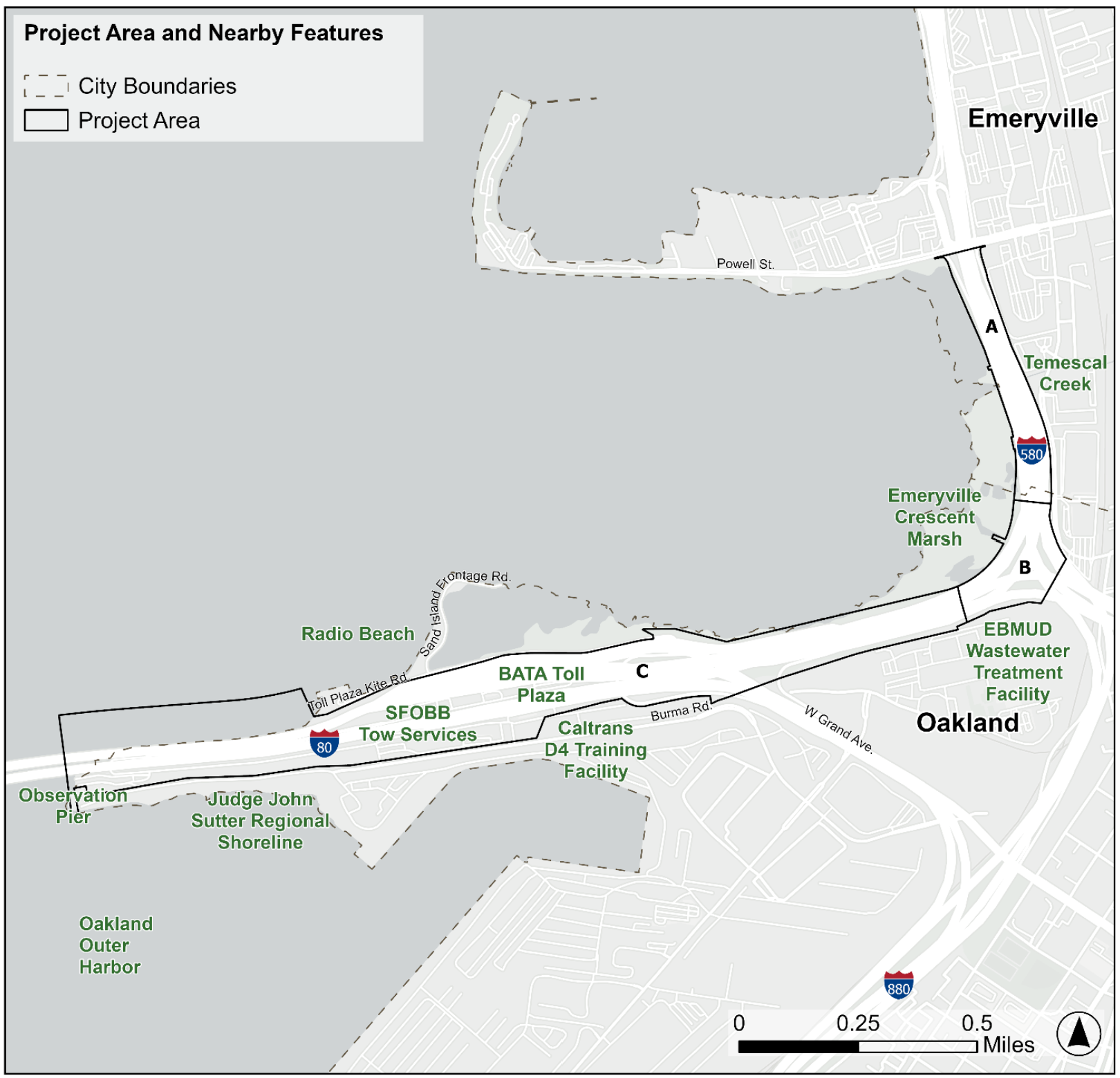
Project Area and Nearby Features
Project Goals
- Protect bridge infrastructure and maintain mobility and access.
- Balance land use, ecological, and recreational needs along the corridor.
- Engage historically excluded communities equitably, centering local and Indigenous perspectivesc.
- Deliver fundable, community-supported adaptation strategies grounded in prior studies and regional plans.
Location
The East Bay side of the Bay Bridge, in the City of Oakland, the traditional territory of the Lisjan (Ohlone) people, immediately adjacent to the City of Emeryville.
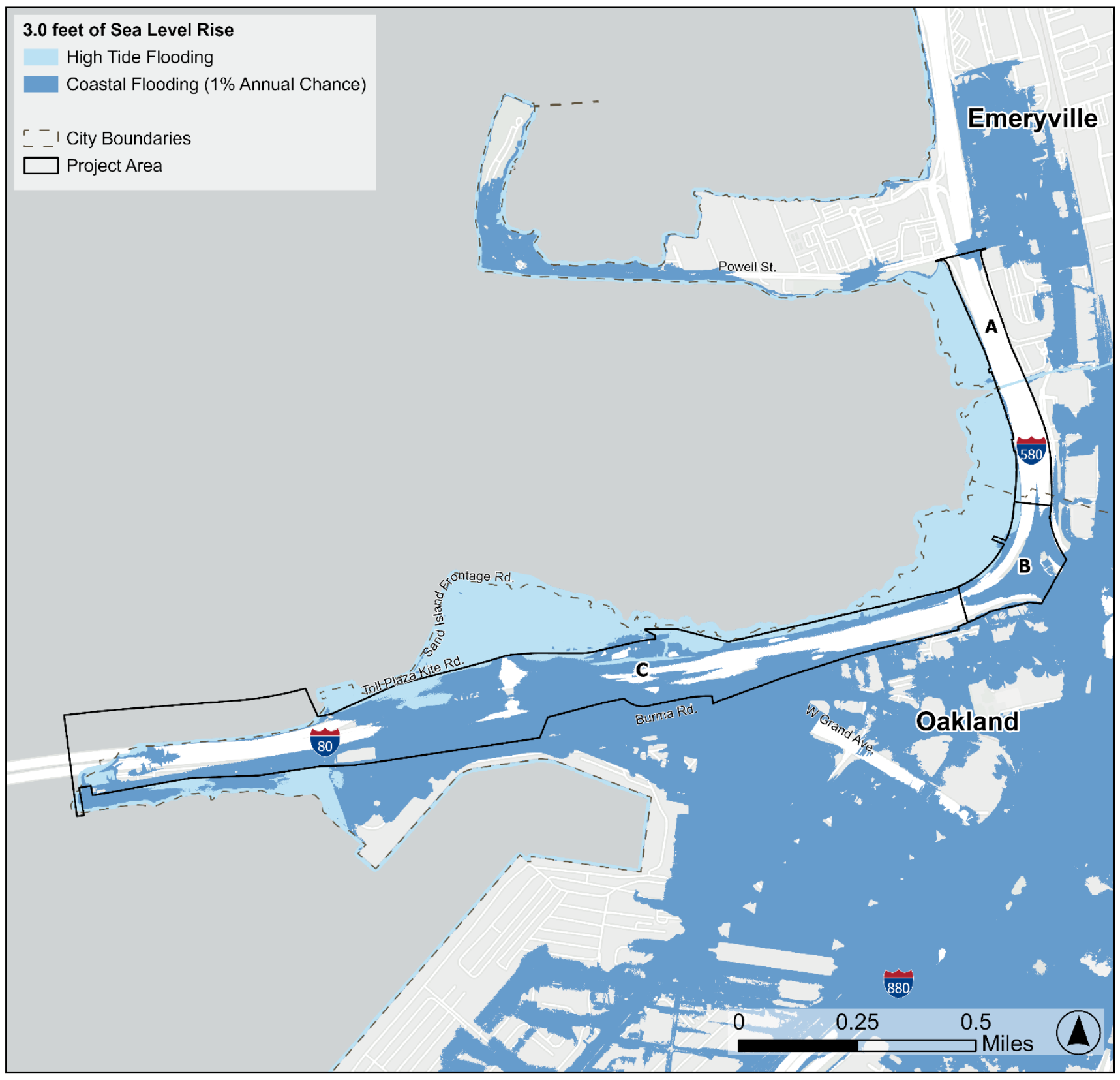
By 2100, sea levels may rise by three feet or more. This map shows flooding risk during high tides (in light blue) and during a 100-year storm (in dark blue) at three feet of sea level rise.
The Plan Will Help the Community
- Plan for the future: Identify adaptation strategies to address impacts from sea level rise, groundwater emergence, water quality impacts, and extreme storms.
- Protect people and infrastructure: Explore solutions that preserve corridor functions, flood protection, and mobility for drivers, transit riders, cyclists, pedestrians, and emergency responders.
- Engage in the process: Provide meaningful opportunities for residents, workers, tribal communities, and community-based organizations to share concerns for consideration and inclusion in adaptation solutions.
- Coordinate across agencies: Bring together cities, regional agencies, and state partners so solutions align with regional plans, funding opportunities, and neighboring projects.
Public Engagement Approach
The public engagement approach for this project is grounded in the belief that community members are the living experts in their own neighborhoods, histories, and futures. Caltrans will conduct public engagement in two phases:
-
Phase I (Fall 2026): Understand community needs and generate ideas and trust through in-person and online workshops, reviewing past and ongoing planning studies, an SMS survey, focus groups, tabling community events, and a walking tour.
We want to hear from you now! Take our short survey by:
Texting the word "Future" to "510-422-0213" or scan QR Code below.

- Phase II (Spring 2027): Receive input on adaptation concepts and build momentum for implementation.
The SFOBB Adaptation Plan Image Gallery
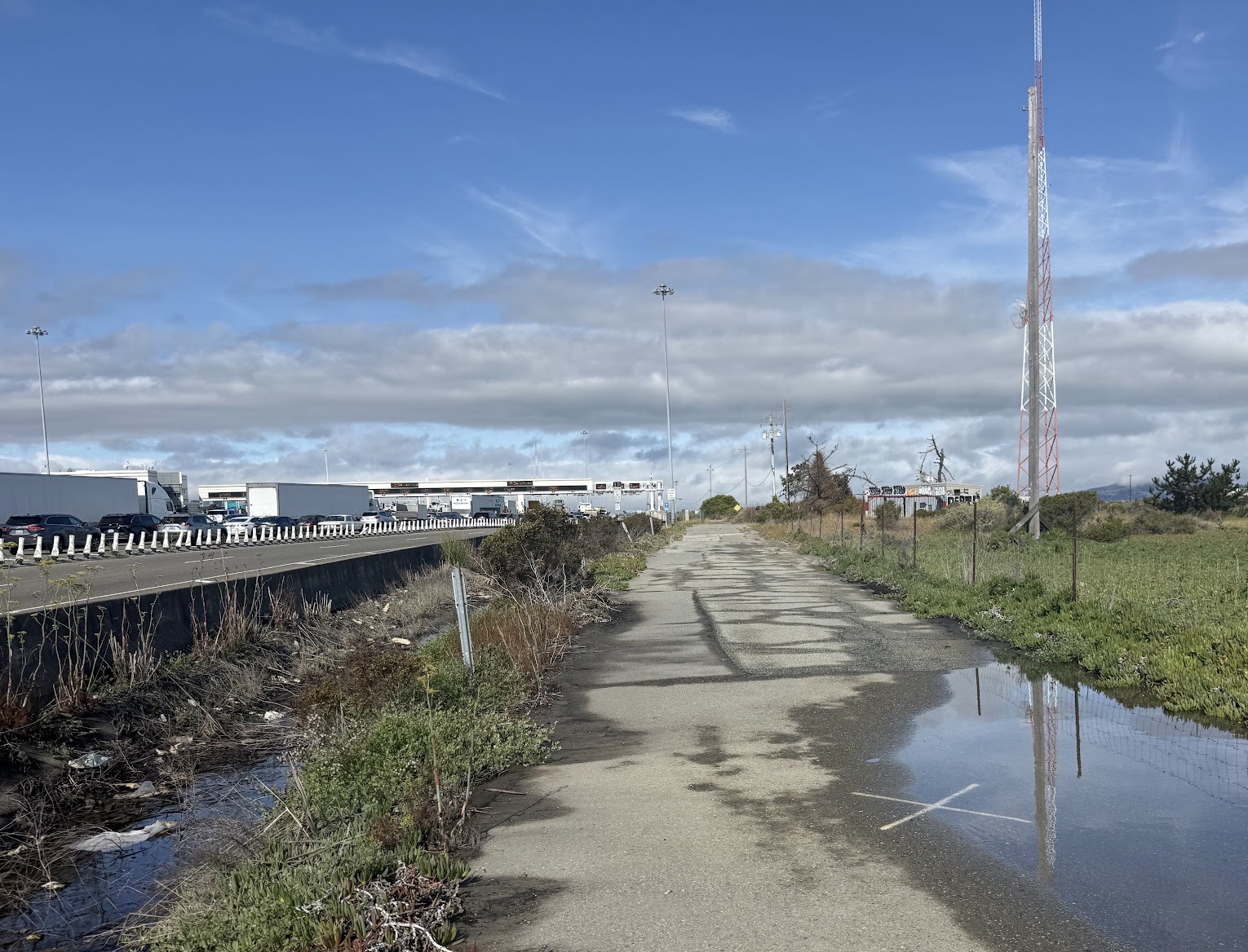
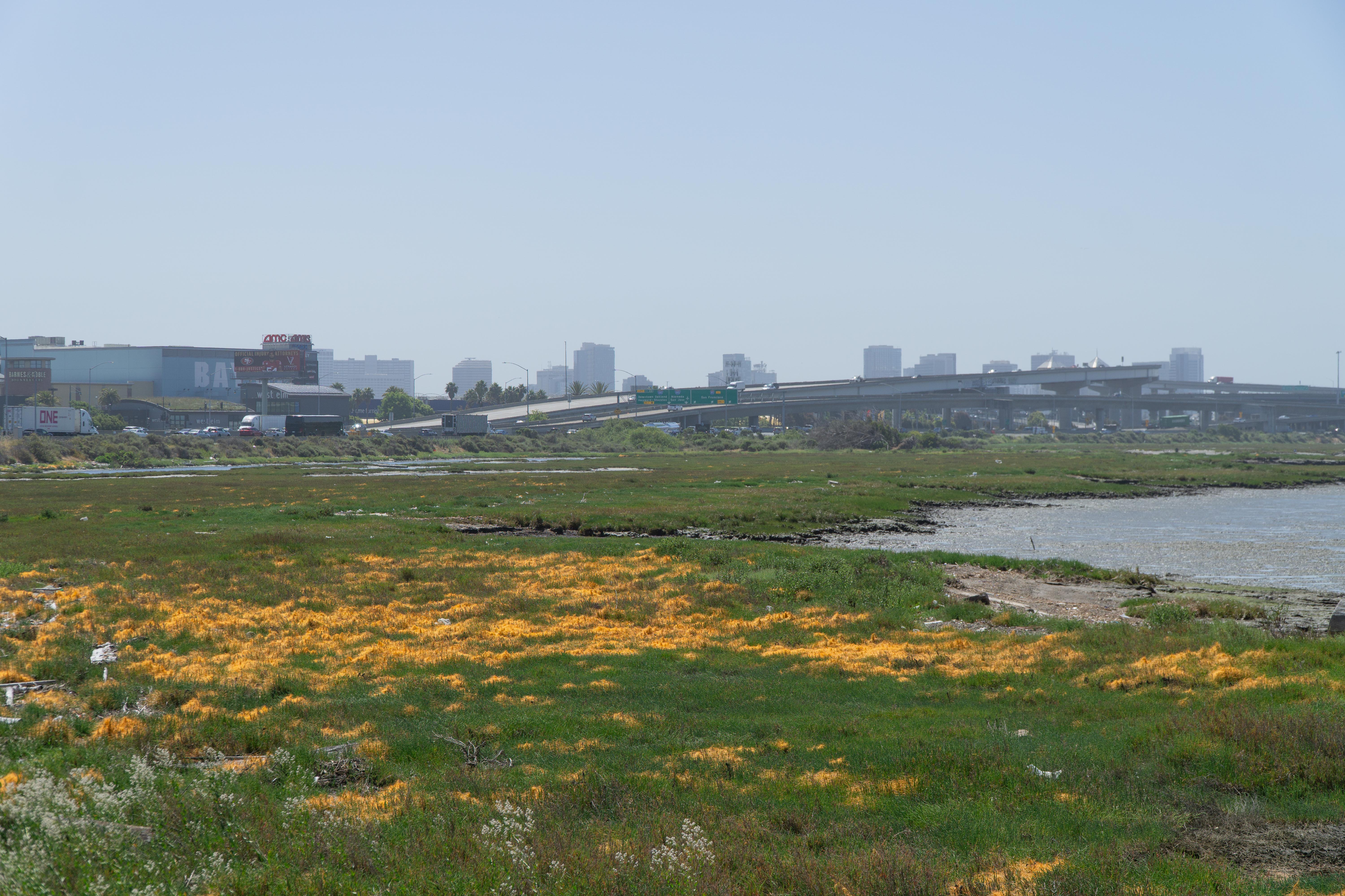
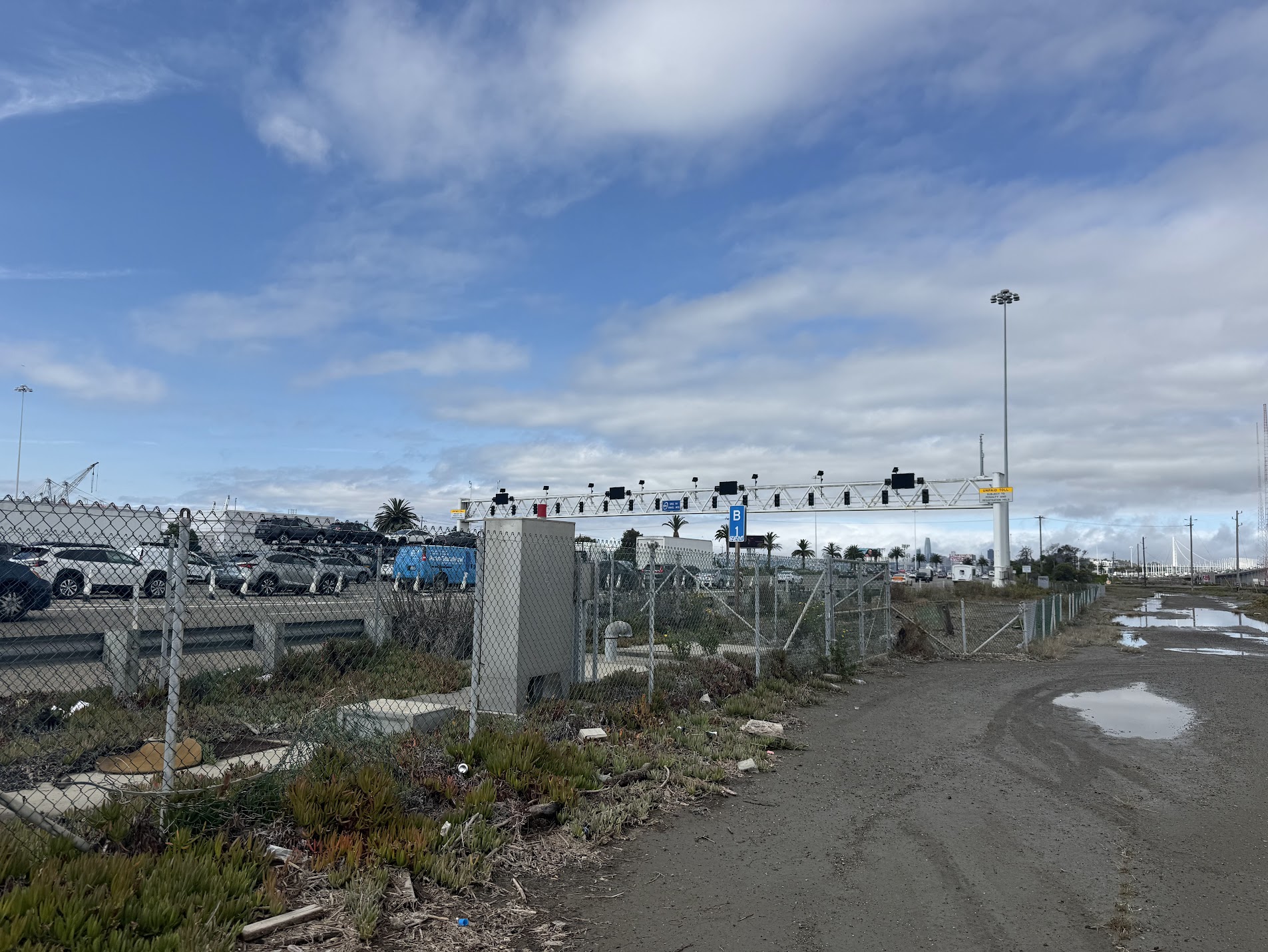
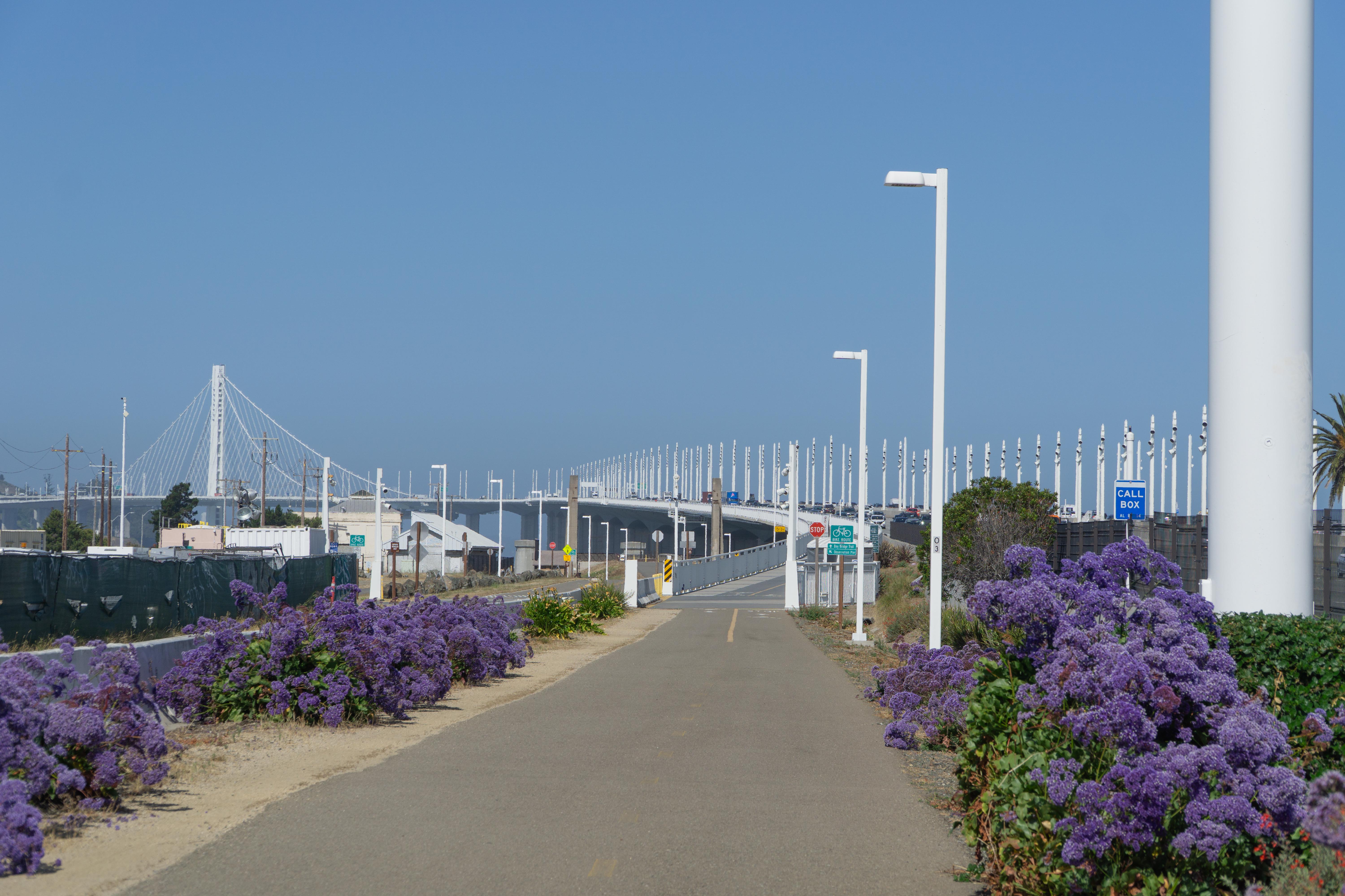
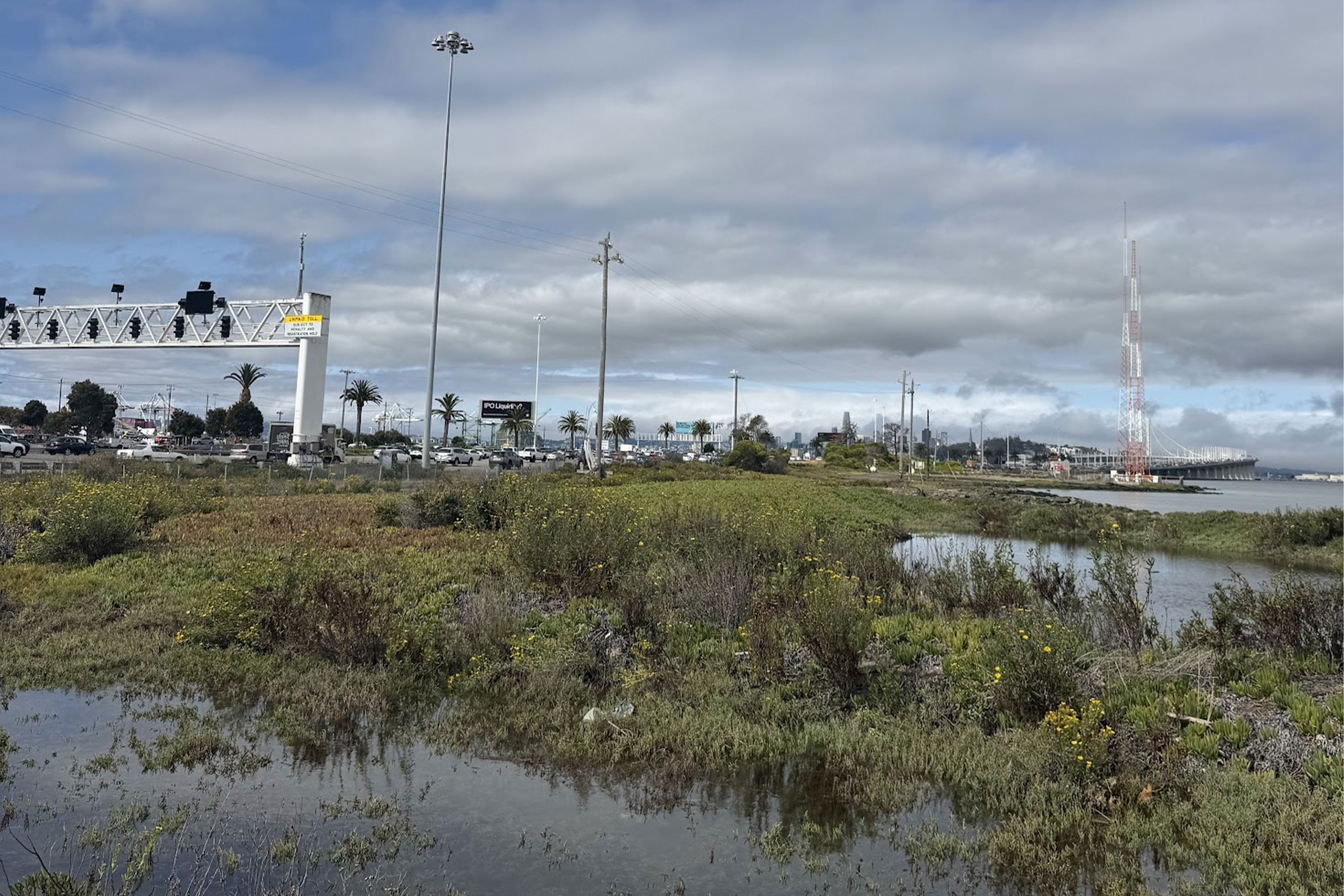
- What is the San Francisco-Oakland Bay Bridge Sea Level Rise Adaptation Plan?
The San Francisco-Oakland Bay Bridge (Bay Bridge) Sea Level Rise Adaptation Planning Study (Plan) is a planning effort led by Caltrans District 4 to identify strategies that improve the long-term resilience of the East Bay transportation corridors connecting the Bay Bridge to surrounding highways, local streets, transit services, and adjacent communities. The Plan will evaluate how sea level rise, coastal flooding, groundwater emergence, and extreme storm events may affect transportation infrastructure and identify adaptation concepts that improve safety, mobility, and reliability today and into the future. - Why is the Plan needed?
The East Bay Side of the Bay Bridge is one of the most important transportation gateways in Northern California, carrying over 200,000 travelers each day serving regional, statewide, and national movement of people and goods. Climate change is increasing the risk of flooding and other hazards that could disrupt travel, emergency access, transit operations, freight movement, and access to surrounding communities. This planning effort will help identify strategies that improve the corridor's resilience before these risks become more severe. - What area is included in the Plan?
The Plan area includes the East Bay side of Bay Bridge and adjacent transportation facilities in Oakland and Emeryville, like major highways, local roadway connections, bicycle and pedestrian facilities, transit infrastructure, and adjacent shoreline areas that influence transportation operations and resilience. -
What climate hazards are being studied?
The Plan evaluates how transportation infrastructure may be affected by:- Sea level rise
- Coastal flooding
- King tides
- Storm surge
- Extreme rainfall
- Groundwater emergence
- Combined flooding from multiple sources
The project considers both current conditions and future climate scenarios to understand how risks may change over time.
- What will the Plan do?
The Plan will identify a range of adaptation strategies to help maintain safe, reliable, and connected transportation throughout the corridor. Strategies will be evaluated based on their ability to address flood risks while providing multiple benefits, which may include:- Reducing flood-related roadway closures and improving travel reliability
- Maintaining regional connectivity and supporting transit operations
- Preserving freight movement
- Improving bicycle and pedestrian access where feasible
- Enhancing emergency access during flood events
- Increasing multimodal connectivity and network redundancy
Potential adaptation concepts may include raising or protecting transportation infrastructure, improving drainage systems, nature-based shoreline improvements such as living shorelines and habitat restoration, flood barriers where appropriate, and operational strategies for managing flood events. The Plan will consider both near-term and longer-term solutions.
The Plan will also explore opportunities to coordinate transportation improvements with shoreline resilience and habitat enhancement projects. Adaptation strategies will not be built as part of this project. Implementation of identified projects would require additional environmental review, engineering, design, permitting, funding, and public review.
- Will the Plan recommend one preferred solution?
No. The Plan may recommend a combination of adaptation strategies depending on local conditions, engineering feasibility, environmental considerations, costs, and community priorities. Some locations may require phased implementation over time as climate conditions evolve. - Does the Plan coordinate with other agencies and shoreline resilience efforts?
Yes. Because the study area includes infrastructure owned and operated by multiple agencies, Caltrans is working closely with transportation providers, local jurisdictions, resource agencies, utility providers, and other shoreline partners to develop adaptation strategies that complement ongoing planning efforts, identify opportunities for coordinated investment, and avoid duplication of effort. Caltrans is coordinating with partner agencies through a Technical Working Group that meets regularly, as well as through coordination with related resilience initiatives. These concurrent efforts include the Emeryville Crescent Visioning Plan, Emeryville Crescent Horizontal Levee, and the Albany-Berkeley-Oakland Regional Shoreline Adaptation Plan. - How can the community get involved?
Residents, businesses, commuters, and corridor users will have opportunities to provide input through:- Community workshops
- Public meetings
- Open houses
- Surveys
- Pop-up events
- Project website updates
An important part of the planning process, community input will help the project team better understand local travel patterns, identify concerns, refine adaptation concepts, evaluate tradeoffs, and prioritize recommendations.
- What is the Plan timeline?
The planning effort began in early 2026 with data collection, existing conditions analysis, and vulnerability assessment. Community engagement will start in Fall 2026 and will occur throughout the project as adaptation concepts are developed and refined. Following public and agency review, the project team will prepare a final Plan that identifies priority adaptation strategies and implementation recommendations by early 2028. - Does the Plan address earthquake resilience as well as sea level rise?
The Plan focuses on climate-related hazards, particularly sea level rise and flooding. While seismic resilience is not the primary focus, adaptation strategies will consider compatibility with existing and future seismic improvements where appropriate. - Will the Bay Bridge be closed or reconstructed as part of the Plan?
No. The Plan is a long-range planning effort and does not involve construction or changes to current bridge operations.
Project Contact
Please visit this webpage to stay updated on the progress of the Plan’s development
If you have questions about the Plan, please contact us at: SFOBBadaptationplan@dot.ca.gov.